
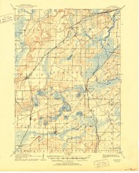
1906 Map of Eagle
USGS Topo · Published 1906About this map
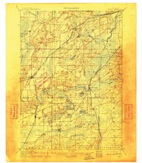
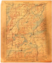
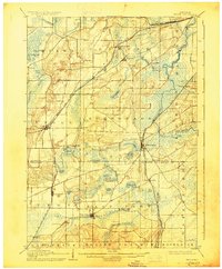
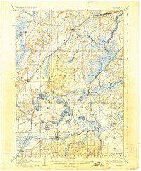
The Fox River valley and its surrounding kettle lakes define this southeastern Wisconsin landscape at the dawn of the twentieth century. Several prominent rail corridors intersect the region, including the Prairie du Chien Division and the Chicago Milwaukee and St. Paul Railroad, which facilitated the growth of village centers like North Prairie and Eagle. These lines connected rural dairy interests to larger markets, while the abundance of water at Mukwonago Lake and Lake Beulah supported early local industry and emerging recreational interest.
Find a feature on this map
57 named features on this map. Tap any name to fly to it.
Don’t see what you’re looking for? This feature index may not catch every label — zoom into the map to look around manually.
Map Details
Editions of this 1906 Eagle Map
6 editions found
Other maps of this area

1891 · Muskego
USGS Topo · 1:62,500

1892 · Waukesha
USGS Topo · 1:62,500

1892 · Watertown
USGS Topo · 1:62,500

1892 · Oconomowoc
USGS Topo · 1:62,500

1892 · Whitewater
USGS Topo · 1:62,500

1892 · Eagle
USGS Topo · 1:62,500

1893 · Delavan
USGS Topo · 1:62,500

1893 · Whitewater
USGS Topo · 1:62,500

1893 · Silver Lake
USGS Topo · 1:62,500

1893 · Geneva
USGS Topo · 1:62,500