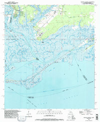
2024 Map of English Lookout
USGS Topo · Published 2024About this map
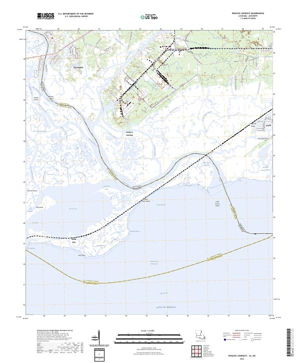
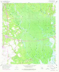
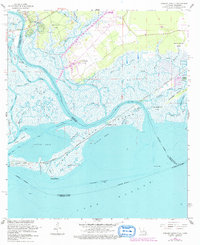
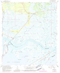
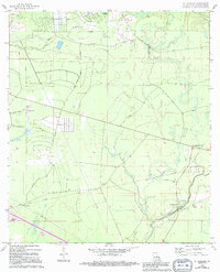
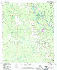
Pearlington and Jackson Landing sit at the northern edge of this complex coastal landscape where the Pearl River bifurcates into numerous channels and bayous. The map documents the intricate hydrology of the marshlands near the Gulf of Mexico, defined by the winding paths of Old Pearl River, Middle River, and Mulatto Bayou. This area is characterized by low-lying landforms such as Desert Island, Browns Island, and the notably named Polecat Bend. The settlement pattern follows the slightly higher ground, with residential development and roads like Sea Plane Rd and Port And Harbor Dr reflecting the region's connection to maritime and industrial activities. To the east, the communities of Magnolia Ridge and Ansley are positioned near the Mississippi-Louisiana state line, illustrating the border's path through the tidal waters of Campbell Outside Bayou.
Find a feature on this map
89 named features on this map. Tap any name to fly to it.
Don’t see what you’re looking for? This feature index may not catch every label — zoom into the map to look around manually.
Map Details
Editions of this 2024 English Lookout Map
This is the sole edition of this map. No revisions or reprints were ever made.
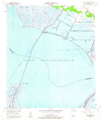
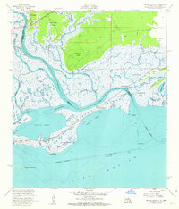
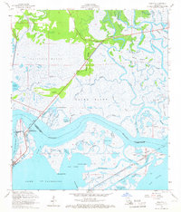
Historical Maps of Pearlington Through Time
45 maps found

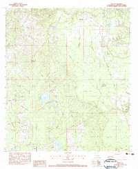
1935 English Lookout
St. Tammany Parish, LA

1936 North Shore
St. Tammany Parish, LA

1941 Honey Island
St. Tammany Parish, LA

1942 Onville
St. Tammany Parish, LA

1942 Pools Bluff
St. Tammany Parish, LA

1942 Talisheek
St. Tammany Parish, LA

1942 Waldheim
St. Tammany Parish, LA

1942 Walkiah Bluff
St. Tammany Parish, LA

1946 Rigolets
St. Tammany Parish, LA

1950 Haaswood
St. Tammany Parish, LA
1951 North Shore
St. Tammany Parish, LA

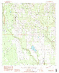
1954 English Lookout
St. Tammany Parish, LA

1954 Haaswood
St. Tammany Parish, LA

1954 Rigolets
St. Tammany Parish, LA
1956 English Lookout
St. Tammany Parish, LA
1956 Rigolets
St. Tammany Parish, LA
1959 Haaswood
St. Tammany Parish, LA
1965 Spanish Fort NE
St. Tammany Parish, LA
1967 North Shore
St. Tammany Parish, LA
1968 Covington SW
St. Tammany Parish, LA
1968 English Lookout
St. Tammany Parish, LA
1968 Rigolets
St. Tammany Parish, LA
1970 St. Tammany
St. Tammany Parish, LA
1971 Hickory
St. Tammany Parish, LA

1976 Folsom NW
St. Tammany Parish, LA
1983 Bush
St. Tammany Parish, LA
1983 Martinville
St. Tammany Parish, LA
1983 Waldheim
St. Tammany Parish, LA
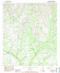
1993 English Lookout
St. Tammany Parish, LA

1993 Haaswood
St. Tammany Parish, LA

1993 Rigolets
St. Tammany Parish, LA

1998 Haaswood
St. Tammany Parish, LA

1998 Hickory
St. Tammany Parish, LA

1998 Rigolets
St. Tammany Parish, LA
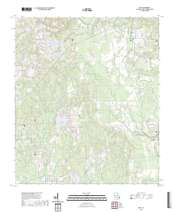
2024 Bush
St. Tammany Parish, LA
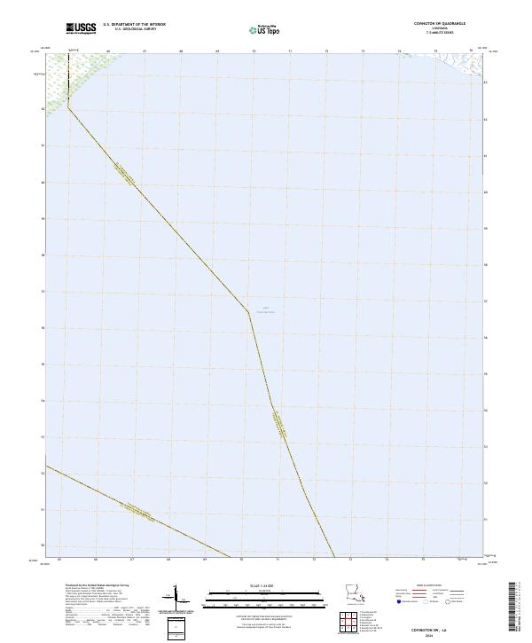
2024 Covington SW
St. Tammany Parish, LA
2024 English Lookout
St. Tammany Parish, LA
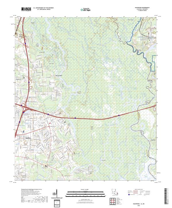
2024 Haaswood
St. Tammany Parish, LA
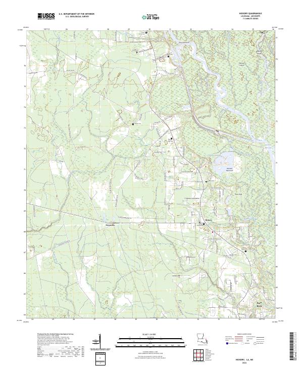
2024 Hickory
St. Tammany Parish, LA
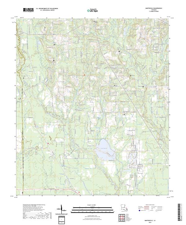
2024 Martinville
St. Tammany Parish, LA
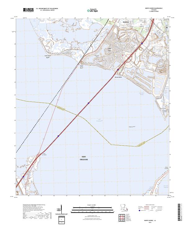
2024 North Shore
St. Tammany Parish, LA
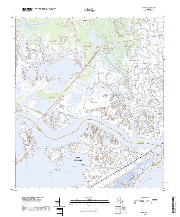
2024 Rigolets
St. Tammany Parish, LA
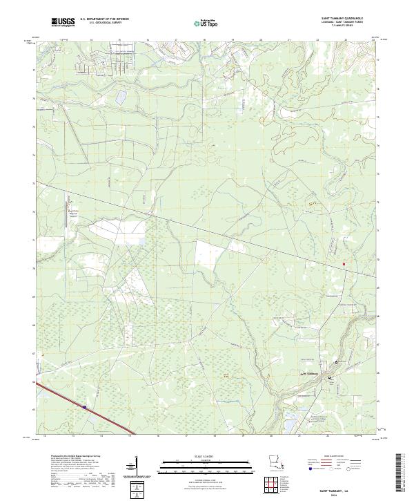
2024 Saint Tammany
St. Tammany Parish, LA
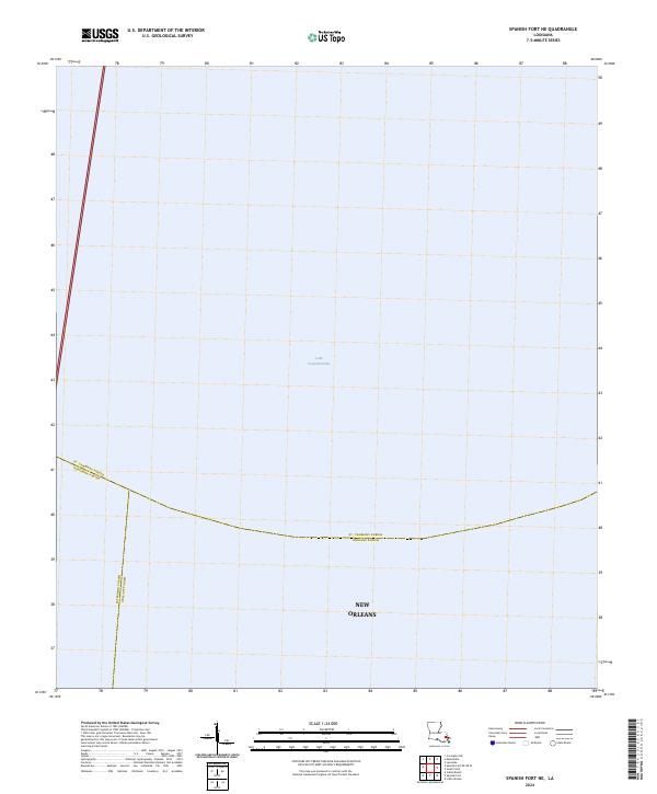
2024 Spanish Fort NE
St. Tammany Parish, LA
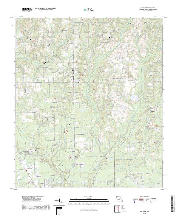
2024 Waldheim
St. Tammany Parish, LA