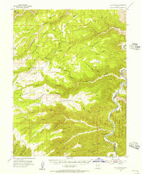
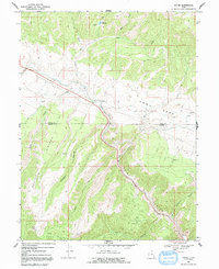
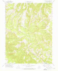
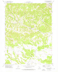
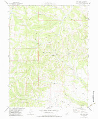
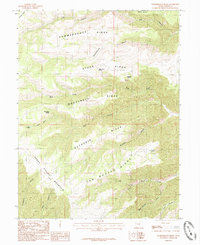
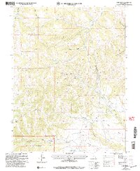
1954 Map of Flat Canyon
USGS Topo · Published 1956This historical map portrays the area of Flat Canyon in 1954, primarily covering Carbon County as well as portions of Uintah County. Featuring a scale of 1:62500, this map provides a highly detailed snapshot of the terrain, roads, buildings, counties, and historical landmarks in the Flat Canyon region at the time. Published in 1956, it is one of 2 known editions of this map due to revisions or reprints.
Find a feature on this map
37 named features on this map. Tap any name to fly to it.
Don’t see what you’re looking for? This feature index may not catch every label — zoom into the map to look around manually.
Map Details
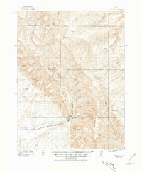
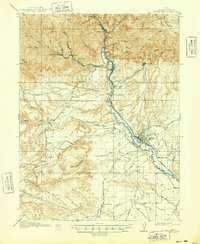
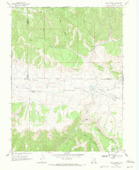
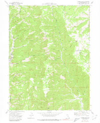
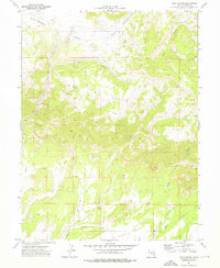
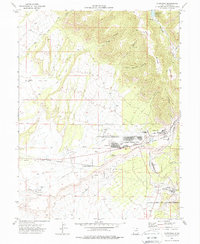
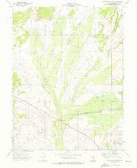
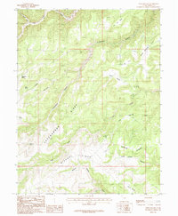
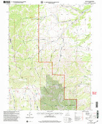
Editions of this 1954 Flat Canyon Map
2 editions found
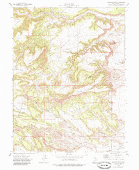
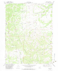
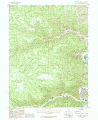
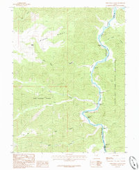
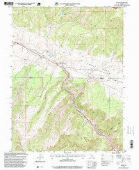
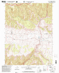
Historical Maps of Carbon County Through Time
26 maps found

1914 Castle Gate
Carbon County, UT
1915 Sunnyside
Carbon County, UT
1916 Castle Gate
Carbon County, UT
1954 Flat Canyon
Carbon County, UT
1969 Kyune
Carbon County, UT
1969 Matts Summit
Carbon County, UT
1972 Bruin Point
Carbon County, UT
1972 Deadman Canyon
Carbon County, UT
1972 Mount Bartles
Carbon County, UT
1972 Patmos Head
Carbon County, UT
1972 Pine Canyon
Carbon County, UT
1972 Pinnacle Peak
Carbon County, UT
1972 Standardville
Carbon County, UT
1972 Sunnyside
Carbon County, UT
1972 Sunnyside Junction
Carbon County, UT
1979 Colton
Carbon County, UT
1979 Jump Creek
Carbon County, UT
1979 Wattis
Carbon County, UT
1985 Cedar Ridge Canyon
Carbon County, UT
1985 Steer Ridge Canyon
Carbon County, UT
1985 Summerhouse Ridge
Carbon County, UT
1985 Twin Hollow
Carbon County, UT
1996 Kyune
Carbon County, UT
1996 Matts Summit
Carbon County, UT
2001 Jump Creek
Carbon County, UT
2001 Wattis
Carbon County, UT