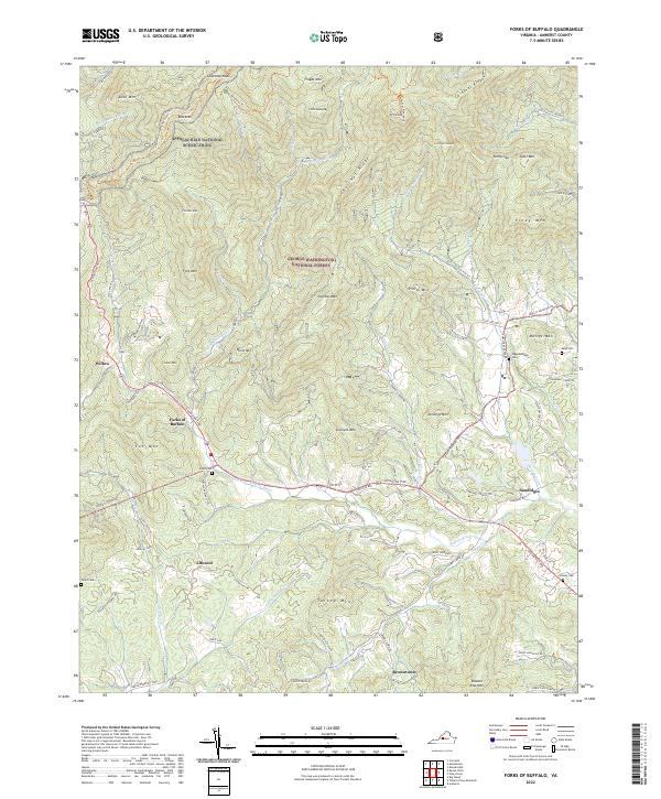
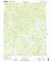
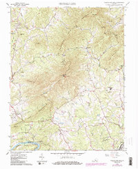
2022 Map of Forks of Buffalo
USGS Topo · Published 2022About this map
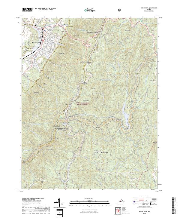
The Buffalo River and its upper tributaries carve through the Blue Ridge landscape within the George Washington National Forest. Near the confluence of the N Fork Buffalo River and S Fork Buffalo River lies the community of Forks of Buffalo, serving as a central point in a terrain defined by ridges like Chestnut Ridge and Cardinal Ridge. The map details a network of rural settlements including Sandidges, Allwood, and Willow, many connected by the historic Lexington Tpke.
Find a feature on this map
99 named features on this map. Tap any name to fly to it.
Don’t see what you’re looking for? This feature index may not catch every label — zoom into the map to look around manually.
Map Details
Editions of this 2022 Forks of Buffalo Map
This is the sole edition of this map. No revisions or reprints were ever made.
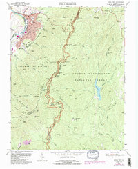
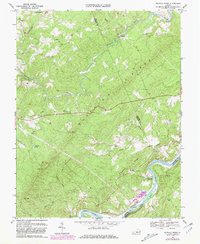
Historical Maps of Forks of Buffalo Through Time
20 maps found
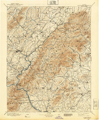
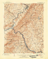
1894 Buena Vista
Amherst County, VA

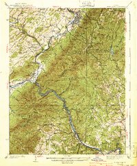
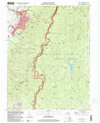
1935 Buena Vista
Amherst County, VA

1939 Buena Vista
Amherst County, VA
1940 Buena Vista
Amherst County, VA
1950 Buena Vista
Amherst County, VA
1952 Buena Vista
Amherst County, VA
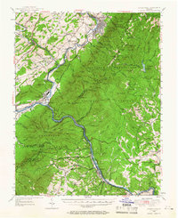
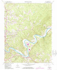
1963 Forks of Buffalo
Amherst County, VA
1963 Kelly
Amherst County, VA
1963 Piney River
Amherst County, VA
1963 Tobacco Row Mtn
Amherst County, VA
1965 Buena Vista
Amherst County, VA
1969 Buffalo Ridge
Amherst County, VA
1977 Buena Vista
Amherst County, VA
1999 Buena Vista
Amherst County, VA
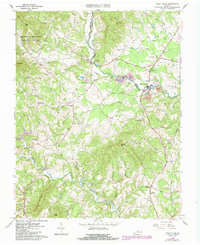
2022 Buena Vista
Amherst County, VA
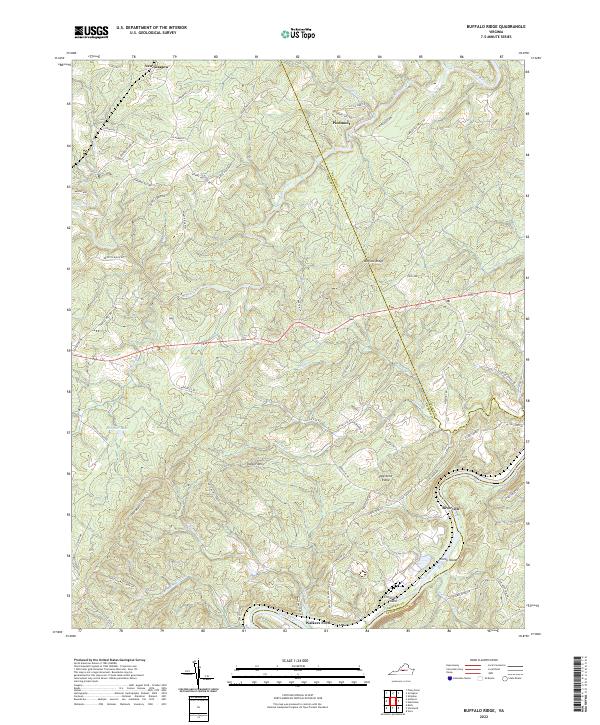
2022 Buffalo Ridge
Amherst County, VA
2022 Forks of Buffalo
Amherst County, VA
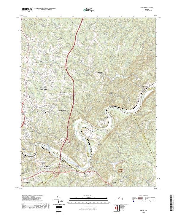
2022 Kelly
Amherst County, VA
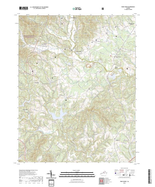
2022 Piney River
Amherst County, VA
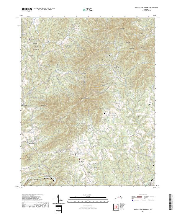
2022 Tobacco Row Mountain
Amherst County, VA