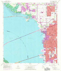
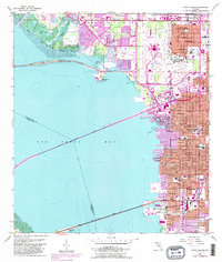
1956 Map of Gandy Bridge
USGS Topo · Published 1970About this map
Tampa expands westward toward the waters of Old Tampa Bay in this mid-century survey, revealing a landscape defined by massive infrastructure projects and suburban growth. The sheet captures the critical transportation corridors that unified the region, including the Gandy Bridge, Howard Frankland Bridge, and Courtney Campbell Parkway. Large-scale land use is evident in the sprawling grounds of the Tampa International Airport and Al Lopez Field.
Find a feature on this map
40 named features on this map. Tap any name to fly to it.
Don’t see what you’re looking for? This feature index may not catch every label — zoom into the map to look around manually.
Map Details
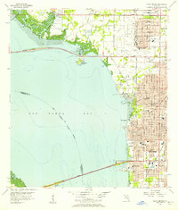
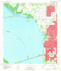
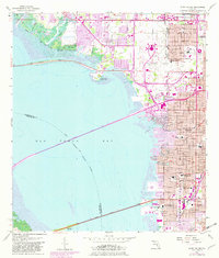
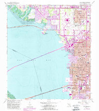
Editions of this 1956 Gandy Bridge Map
6 editions found
Other maps of this area

1921 · Tampa
USGS Topo · 1:62,500

1921 · St Petersburg
USGS Topo · 1:62,500

1943 · St Petersburg
USGS Topo · 1:31,680

1943 · Gandy Bridge
USGS Topo · 1:31,680

1943 · Safety Harbor
USGS Topo · 1:31,680

1943 · Port Tampa
USGS Topo · 1:31,680

1943 · Oldsmar
USGS Topo · 1:24,000

1944 · Sulphur Springs
USGS Topo · 1:31,680

1944 · Tampa
USGS Topo · 1:31,680

1944 · Oldsmar
USGS Topo · 1:31,680