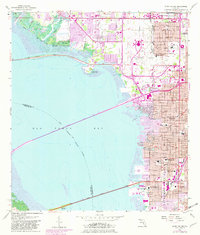
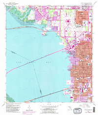
1956 Map of Gandy Bridge
USGS Topo · Published 1982About this map
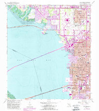
The Interbay Peninsula and the expansive waters of Old Tampa Bay define this mid-century survey of the Florida coast. This 1956 map, updated with 1981 revisions, documents a period of rapid urban expansion as suburban developments move toward the shoreline. Significant infrastructure includes the Tampa International Airport and three major crossings connecting the peninsula to the west: the Courtney Campbell Parkway, the Howard Frankland Bridge, and the Gandy Bridge. Local communities like Drew Park and Rattlesnake appear alongside established institutions such as Jesuit High Sch, Plant High Sch, and the American Legion Cem. The map also captures specialized landmarks of the era, from the Al Lopez Field and a Drive-in Theater to the Seaboard Coast Line railroad and various radio towers including Radio Towers (WSUN) at Rocky Point.
Find a feature on this map
45 named features on this map. Tap any name to fly to it.
Don’t see what you’re looking for? This feature index may not catch every label — zoom into the map to look around manually.
Map Details
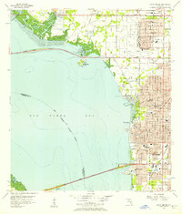
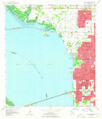
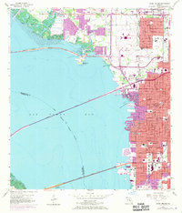
Editions of this 1956 Gandy Bridge Map
6 editions found
Other maps of this area

1921 · Tampa
USGS Topo · 1:62,500

1921 · St Petersburg
USGS Topo · 1:62,500

1943 · St Petersburg
USGS Topo · 1:31,680

1943 · Gandy Bridge
USGS Topo · 1:31,680

1943 · Safety Harbor
USGS Topo · 1:31,680

1943 · Port Tampa
USGS Topo · 1:31,680

1943 · Oldsmar
USGS Topo · 1:24,000

1944 · Sulphur Springs
USGS Topo · 1:31,680

1944 · Tampa
USGS Topo · 1:31,680

1944 · Oldsmar
USGS Topo · 1:31,680