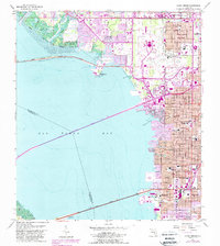
1956 Map of Gandy Bridge
USGS Topo · Published 1987About this map
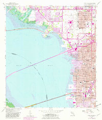
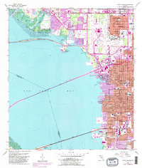
The Interbay Peninsula and the eastern shores of Old Tampa Bay are captured during a period of intense mid-century urbanization. Three major crossings dominate the aquatic landscape: the Courtney Campbell Causeway, the Howard Frankland Bridge, and the eponymous Gandy Bridge. These arteries connect the rising residential and industrial sectors of Rattlesnake and Drew Park to the wider region. On land, the map documents a dense network of local institutions, including Plant High Sch and the American Legion Cem. The presence of the Tampa International Airport and Al Lopez Field underscores the area's development as a transportation hub. Along the shoreline, the natural hydrology of Cabbagehead Bayou and Sweetwater Creek meets the engineered geometry of modern Florida coastal expansion.
Find a feature on this map
41 named features on this map. Tap any name to fly to it.
Don’t see what you’re looking for? This feature index may not catch every label — zoom into the map to look around manually.
Map Details
Editions of this 1956 Gandy Bridge Map
6 editions found
Other maps of this area

1921 · Tampa
USGS Topo · 1:62,500

1921 · St Petersburg
USGS Topo · 1:62,500

1943 · St Petersburg
USGS Topo · 1:31,680

1943 · Gandy Bridge
USGS Topo · 1:31,680

1943 · Safety Harbor
USGS Topo · 1:31,680

1943 · Port Tampa
USGS Topo · 1:31,680

1943 · Oldsmar
USGS Topo · 1:24,000

1944 · Sulphur Springs
USGS Topo · 1:31,680

1944 · Tampa
USGS Topo · 1:31,680

1944 · Oldsmar
USGS Topo · 1:31,680