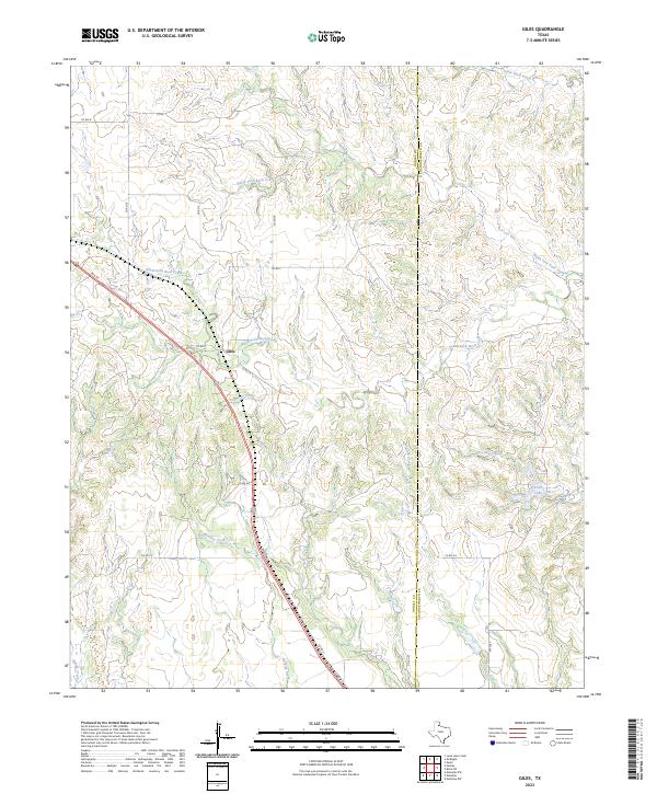
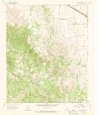
2023 Map of Giles
USGS Topo · Published 2023This historical map portrays the area of Giles in 2023, primarily covering Donley County as well as portions of Collingsworth County. Featuring a scale of 1:24000, this map provides a highly detailed snapshot of the terrain, roads, buildings, counties, and historical landmarks in the Giles region at the time. Published in 2023, it is the sole known edition of this map.
Map Details
Editions of this 2023 Giles Map
This is the sole edition of this map. No revisions or reprints were ever made.
Historical Maps of Collingsworth County Through Time
24 maps found
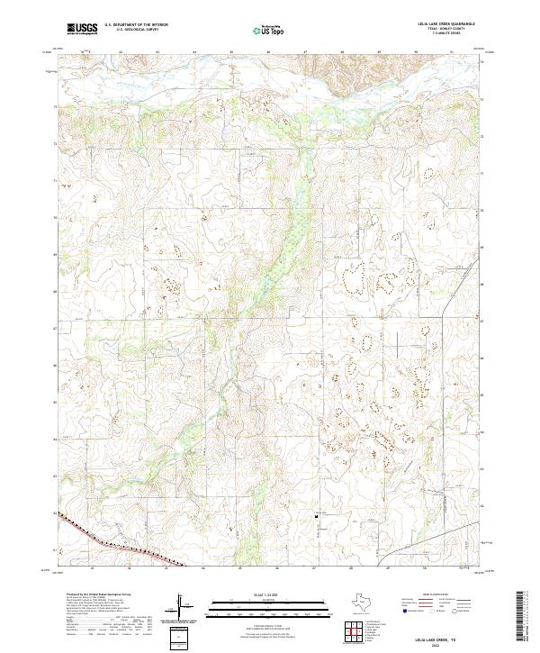
1959 Lelia Lake Creek
Donley County, TX
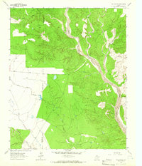
1959 McKnight
Donley County, TX
1959 Spencer Lake
Donley County, TX
1959 Troublesome Creek
Donley County, TX
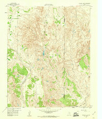
1962 Griffin Ranch
Donley County, TX
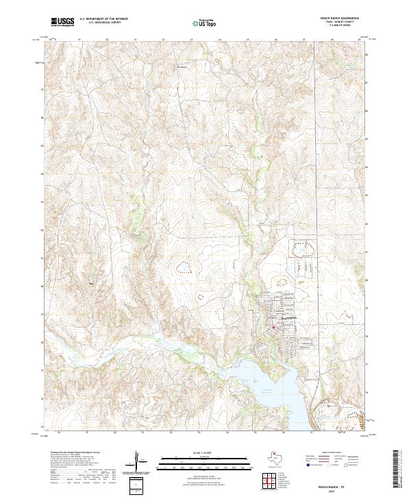
1962 Roach Ranch
Donley County, TX
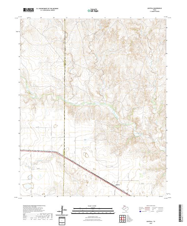
1963 Buffalo Arroyo
Donley County, TX
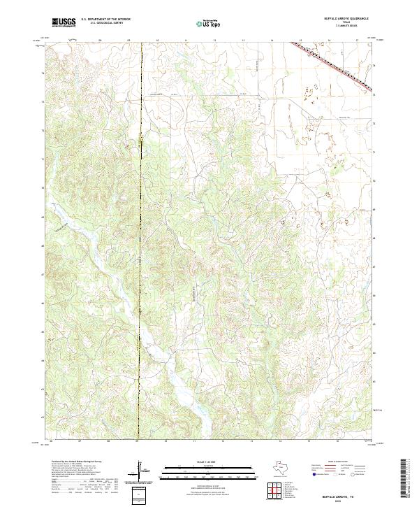
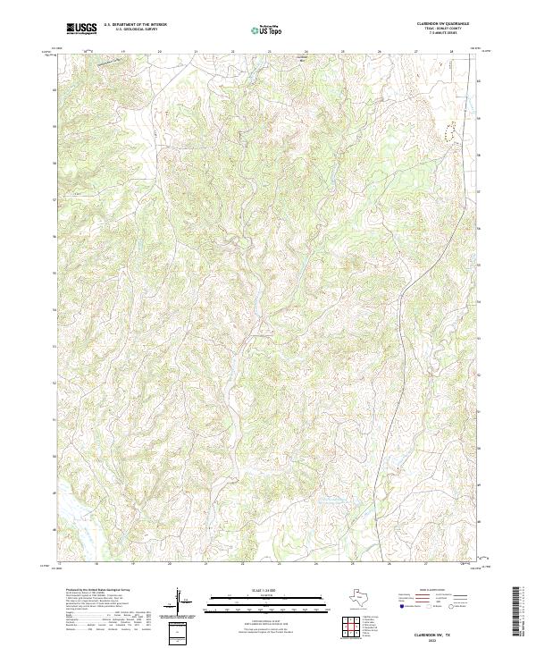
1963 Clarendon SE
Donley County, TX
1963 Clarendon SW
Donley County, TX
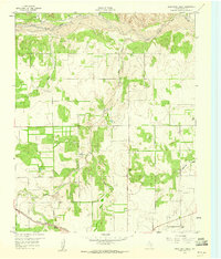
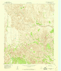
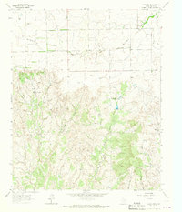
1963 Giles
Donley County, TX
1963 Tate Arroyo
Donley County, TX
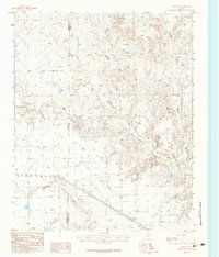
1983 Ashtola
Donley County, TX
2022 Ashtola
Donley County, TX
2022 Buffalo Arroyo
Donley County, TX
2022 Clarendon SE
Donley County, TX
2022 Clarendon SW
Donley County, TX
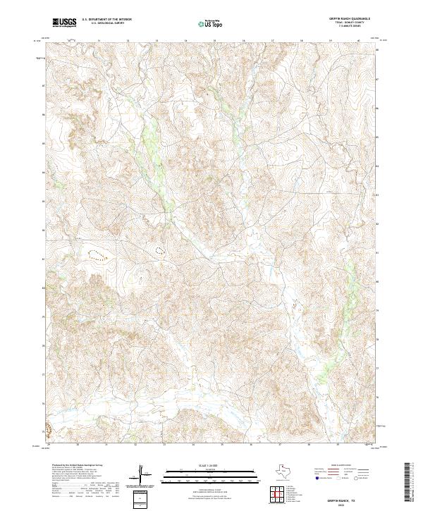
2022 Griffin Ranch
Donley County, TX
2022 Lelia Lake Creek
Donley County, TX
2022 Roach Ranch
Donley County, TX
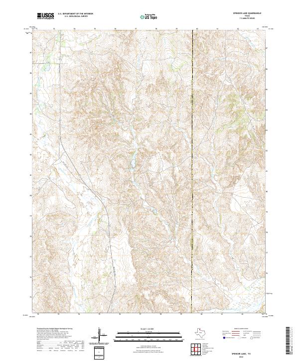
2022 Spencer Lake
Donley County, TX
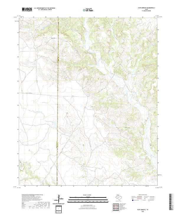
2022 Tate Arroyo
Donley County, TX
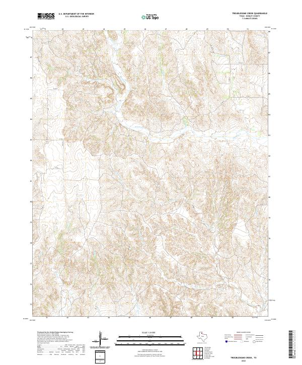
2022 Troublesome Creek
Donley County, TX
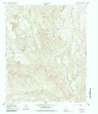
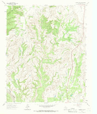
2023 Giles
Donley County, TX
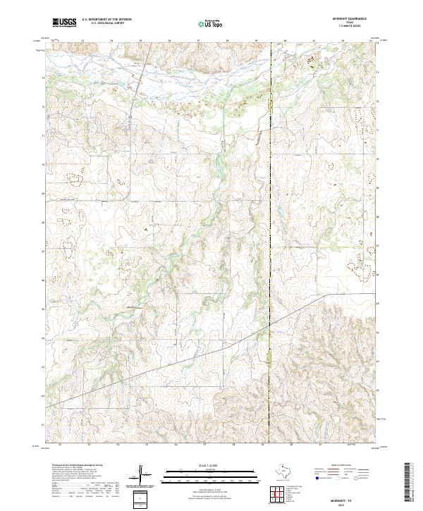
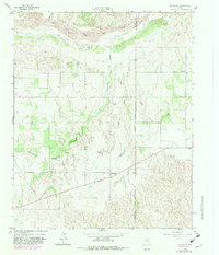
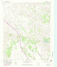
2023 McKnight
Donley County, TX