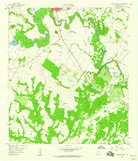
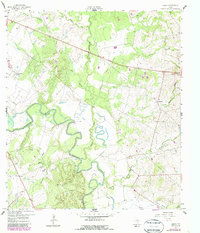
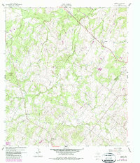
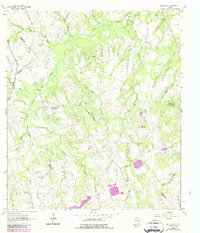
1959 Map of Gonzales South
USGS Topo · Published 1960This historical map portrays the area of Gonzales South in 1959, primarily covering Gonzales County. Featuring a scale of 1:24000, this map provides a highly detailed snapshot of the terrain, roads, buildings, counties, and historical landmarks in the Gonzales South region at the time. Published in 1960, it is one of 3 known editions of this map due to revisions or reprints.
Find a feature on this map
31 named features on this map. Tap any name to fly to it.
Don’t see what you’re looking for? This feature index may not catch every label — zoom into the map to look around manually.
Map Details
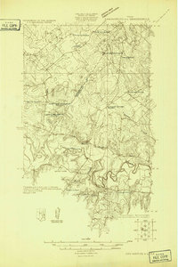
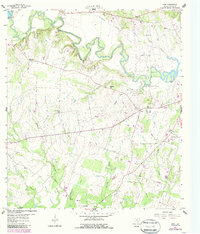
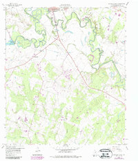
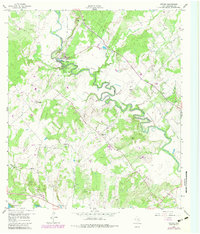
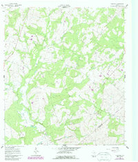
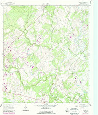
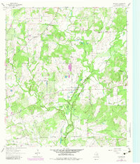
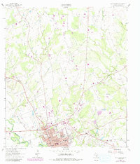
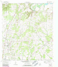
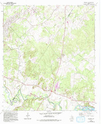
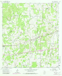
Editions of this 1959 Gonzales South Map
3 editions found

Historical Maps of Gonzales County Through Time
14 maps found
1925 San Marcos 4-c
Gonzales County, TX
1959 Cost
Gonzales County, TX
1959 Gonzales South
Gonzales County, TX
1959 Hamon
Gonzales County, TX
1959 Ottine
Gonzales County, TX
1960 Cheapside
Gonzales County, TX
1961 Pilgrim
Gonzales County, TX
1961 Sample
Gonzales County, TX
1962 Dilworth
Gonzales County, TX
1962 Gonzales North
Gonzales County, TX
1962 Leesville
Gonzales County, TX
1963 Bald Mound
Gonzales County, TX
1964 Belmont
Gonzales County, TX
1964 Sandy Fork
Gonzales County, TX