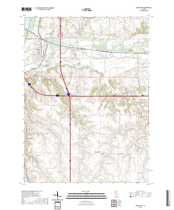
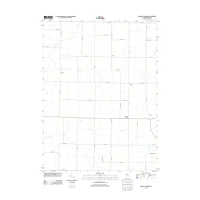
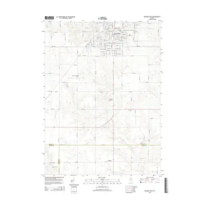
2024 Map of Green Rock
USGS Topo · Published 2024About this map
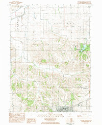
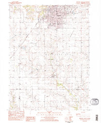
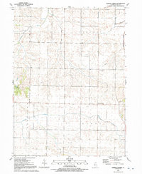
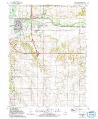
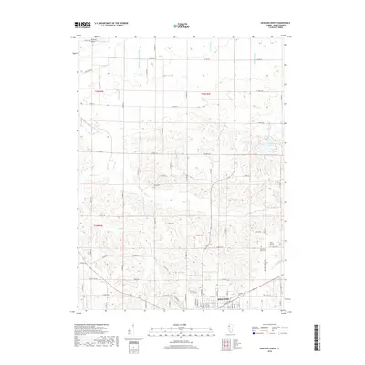
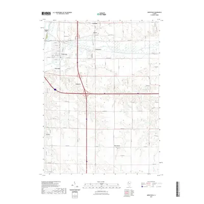
The confluence of the Rock River and the Green River anchors this modern survey of the borderlands between Rock Island and Henry counties. The combined settlements of Colona and Green Rock dominate the northwestern quadrant, showing the dense grid of residential streets like 7th Ave and 8th St that have grown around these historic waterways. The landscape transitions south and east into a pattern of drainages and rolling uplands, where smaller communities like Briar Bluff and Warner remain distinct from the larger urban centers.
Find a feature on this map
92 named features on this map. Tap any name to fly to it.
Don’t see what you’re looking for? This feature index may not catch every label — zoom into the map to look around manually.
Map Details
Editions of this 2024 Green Rock Map
This is the sole edition of this map. No revisions or reprints were ever made.
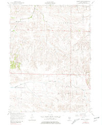
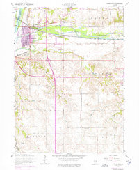
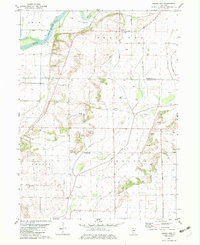
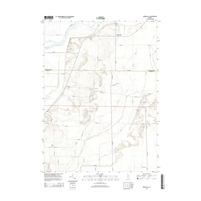
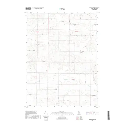
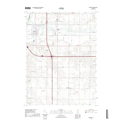
Historical Maps of Colona Through Time
32 maps found
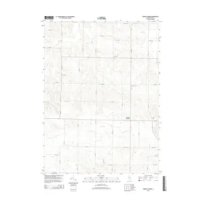
1953 German Corner
Henry County, IL
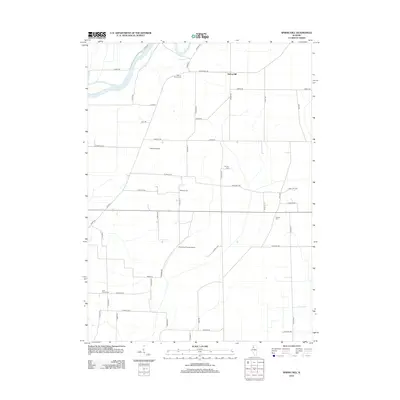
1953 Green Rock
Henry County, IL
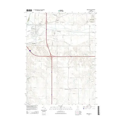
1982 Spring Hill
Henry County, IL
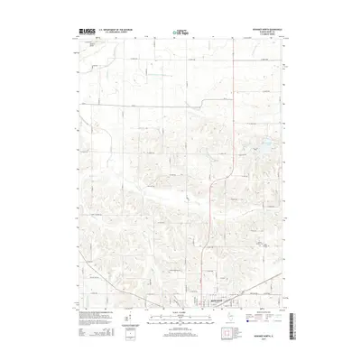
1983 Kewanee North
Henry County, IL
1983 Kewanee South
Henry County, IL
1991 German Corner
Henry County, IL
1992 Green Rock
Henry County, IL
2012 German Corner
Henry County, IL
2012 Green Rock
Henry County, IL
2012 Kewanee North
Henry County, IL
2012 Kewanee South
Henry County, IL
2012 Spring Hill
Henry County, IL
2015 German Corner
Henry County, IL
2015 Green Rock
Henry County, IL
2015 Kewanee North
Henry County, IL
2015 Kewanee South
Henry County, IL
2015 Spring Hill
Henry County, IL
2018 German Corner
Henry County, IL
2018 Green Rock
Henry County, IL
2018 Kewanee North
Henry County, IL
2018 Kewanee South
Henry County, IL
2018 Spring Hill
Henry County, IL
2021 German Corner
Henry County, IL
2021 Green Rock
Henry County, IL
2021 Kewanee North
Henry County, IL
2021 Kewanee South
Henry County, IL
2021 Spring Hill
Henry County, IL
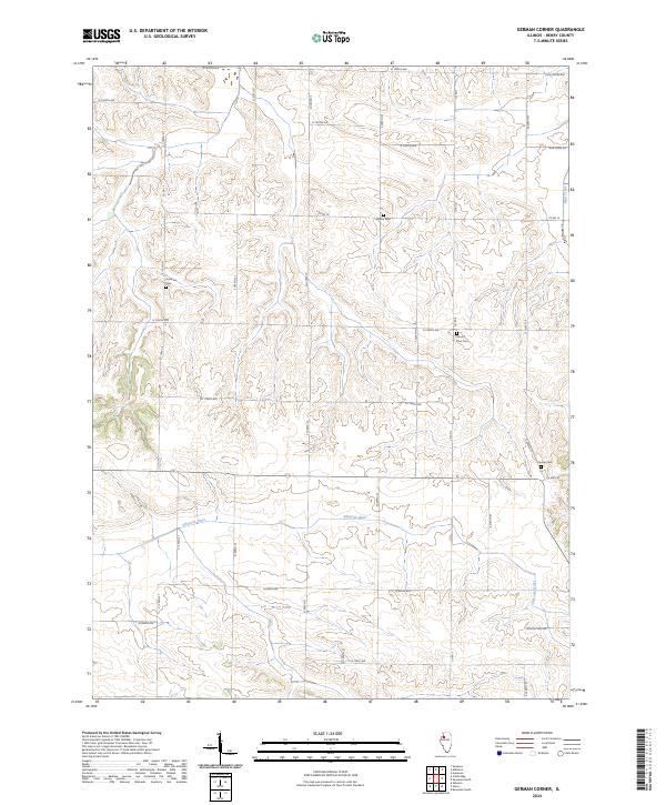
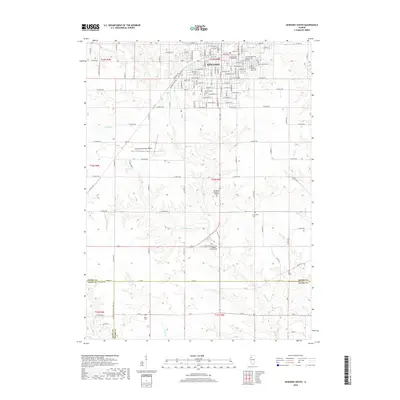
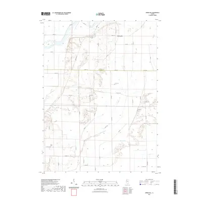
2024 German Corner
Henry County, IL
2024 Green Rock
Henry County, IL
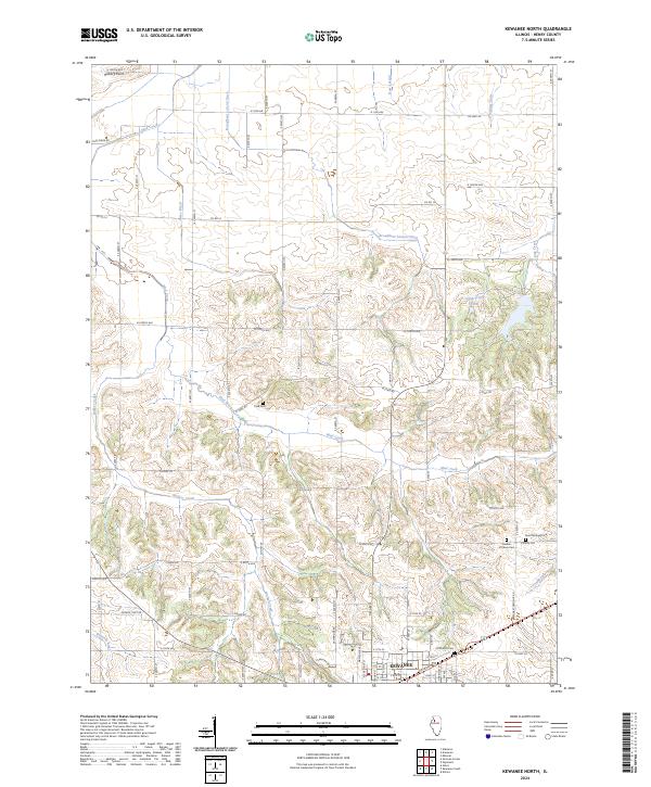
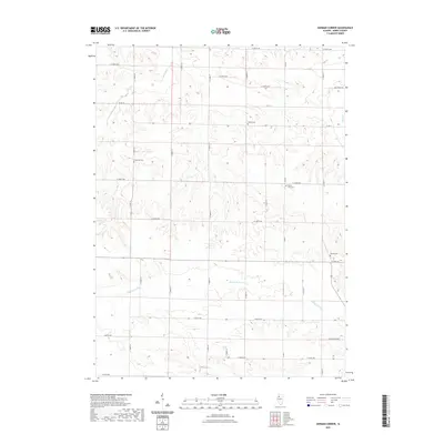
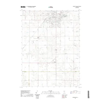
2024 Kewanee North
Henry County, IL
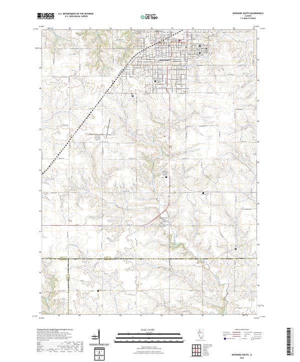
2024 Kewanee South
Henry County, IL
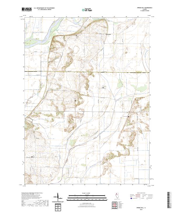
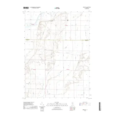
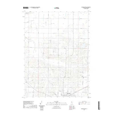
2024 Spring Hill
Henry County, IL