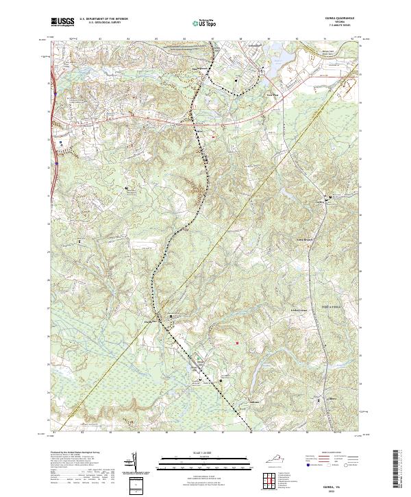
2022 Map of Guinea
USGS Topo · Published 2022About this map
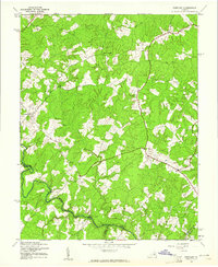
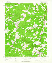
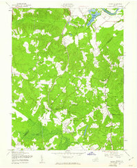
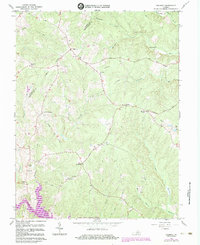
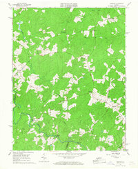
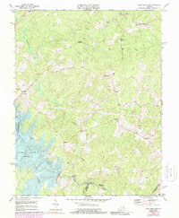
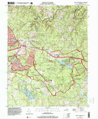
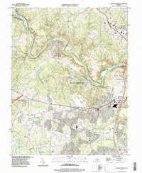
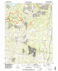
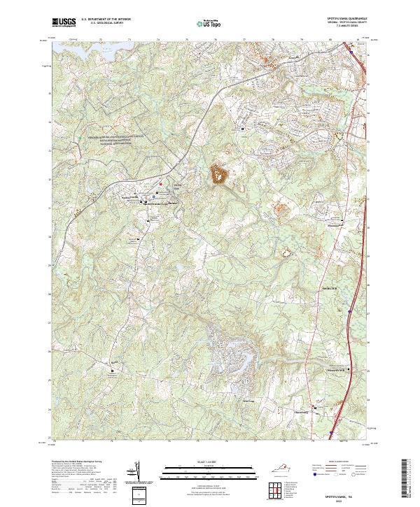
Massaponax and the surrounding rural landscapes of Spotsylvania Co and Caroline Co are defined by a dense network of country churches and family cemeteries. This modern survey captures the region's character as a site of long-standing memorial and community significance, notably including portions of the Fredericksburg and Spotsylvania County Battlefields Memorial NMP. The terrain is drained by systems such as Massaponax Cr and the Po River, with smaller settlements like New Post, Corbin, and Villboro connected by historic routes like Mine Rd and Tidewater Trl. Genealogists will find particular value in the numerous burial grounds, such as Hopewell Methodist Church Cem and Second New Hope Baptist Church Cem, which remain as core landmarks in this evolving corridor between Fredericksburg and the military lands of Fort A P Hill.
Find a feature on this map
153 named features on this map. Tap any name to fly to it.
Don’t see what you’re looking for? This feature index may not catch every label — zoom into the map to look around manually.
Map Details
Editions of this 2022 Guinea Map
This is the sole edition of this map. No revisions or reprints were ever made.
Historical Maps of Daltons Through Time
32 maps found

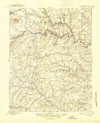
1887 Spottsylvania
Spotsylvania County, VA
1892 Spotsylvania
Spotsylvania County, VA
1942 Belmont
Spotsylvania County, VA
1942 Brokenburg
Spotsylvania County, VA

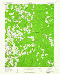
1942 Guinea
Spotsylvania County, VA
1942 Partlow
Spotsylvania County, VA
1942 Spotsylvania
Spotsylvania County, VA

1943 Chancellorsville
Spotsylvania County, VA

1943 Salem Church
Spotsylvania County, VA
1944 Chancellorsville
Spotsylvania County, VA

1944 Salem Church
Spotsylvania County, VA
1949 Guinea
Spotsylvania County, VA
1966 Belmont
Spotsylvania County, VA
1966 Brokenburg
Spotsylvania County, VA
1966 Chancellorsville
Spotsylvania County, VA
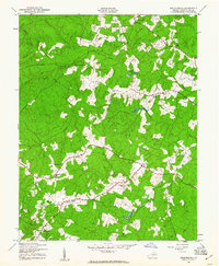
1966 Guinea
Spotsylvania County, VA
1966 Partlow
Spotsylvania County, VA
1966 Salem Church
Spotsylvania County, VA
1966 Spotsylvania
Spotsylvania County, VA
1973 Chancellorsville
Spotsylvania County, VA
1973 Lake Anna East
Spotsylvania County, VA

1983 Fredericksburg
Spotsylvania County, VA
1994 Chancellorsville
Spotsylvania County, VA
1994 Salem Church
Spotsylvania County, VA
1994 Spotsylvania
Spotsylvania County, VA
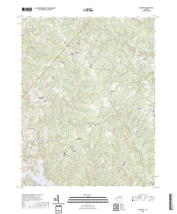
2022 Belmont
Spotsylvania County, VA
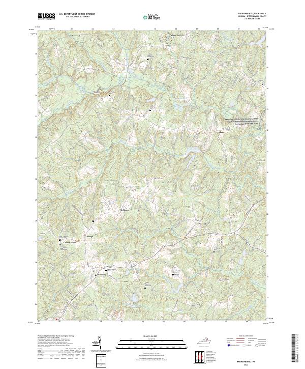
2022 Brokenburg
Spotsylvania County, VA
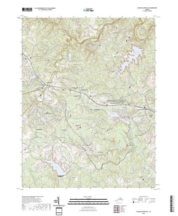
2022 Chancellorsville
Spotsylvania County, VA
2022 Guinea
Spotsylvania County, VA
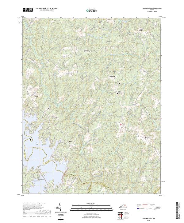
2022 Lake Anna East
Spotsylvania County, VA
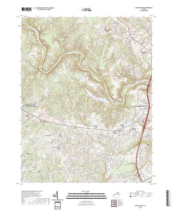
2022 Salem Church
Spotsylvania County, VA
2022 Spotsylvania
Spotsylvania County, VA