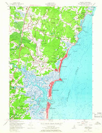
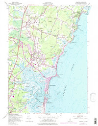
1957 Map of Hampton
USGS Topo · Published 1966About this map
Coastal Rockingham County reveals its mid-century character along the Atlantic Ocean, where the transition from marshland to beach community is clearly defined. The Boston and Maine Railroad and the Lafayette Road serve as the primary north-south corridors, anchoring established settlements like Hampton and North Hampton Center. The landscape is dotted with ancestral markers, including the Ring Swamp and Pine Grove cemeteries, and institutional anchors such as St Francis College near Rye Beach.
Find a feature on this map
95 named features on this map. Tap any name to fly to it.
Don’t see what you’re looking for? This feature index may not catch every label — zoom into the map to look around manually.
Map Details
Editions of this 1957 Hampton Map
5 editions found
Other maps of this area

1888 · Newburyport
USGS Topo · 1:62,500

1890 · Newburyport
USGS Topo · 1:62,500

1893 · Dover
USGS Topo · 1:62,500

1893 · York
USGS Topo · 1:62,500

1894 · Newburyport
USGS Topo · 1:62,500

1916 · Dover
USGS Topo · 1:62,500

1918 · Dover
USGS Topo · 1:62,500

1920 · York
USGS Topo · 1:62,500

1932 · Newburyport
USGS Topo · 1:48,000

1934 · Exeter
USGS Topo · 1:62,500