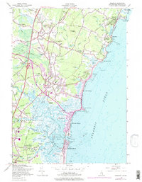
1957 Map of Hampton
USGS Topo · Published 1977About this map
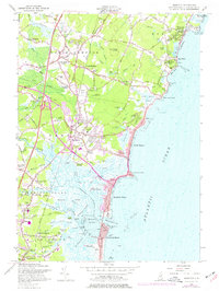
Atlantic Ocean tides push deep into the tidal estuaries of this New Hampshire coastline, defining the geography of Hampton Flats and the complex network of the Taylor River and Browns River. By the late 1950s, the region shows a clear divide between the established inland villages like North Hampton Center and Hampton Falls, and the burgeoning coastal developments of Hampton Beach and Seabrook Beach.
Find a feature on this map
120 named features on this map. Tap any name to fly to it.
Don’t see what you’re looking for? This feature index may not catch every label — zoom into the map to look around manually.
Map Details
Editions of this 1957 Hampton Map
5 editions found
Other maps of this area

1888 · Newburyport
USGS Topo · 1:62,500

1890 · Newburyport
USGS Topo · 1:62,500

1893 · Dover
USGS Topo · 1:62,500

1893 · York
USGS Topo · 1:62,500

1894 · Newburyport
USGS Topo · 1:62,500

1916 · Dover
USGS Topo · 1:62,500

1918 · Dover
USGS Topo · 1:62,500

1920 · York
USGS Topo · 1:62,500

1932 · Newburyport
USGS Topo · 1:48,000

1934 · Exeter
USGS Topo · 1:62,500