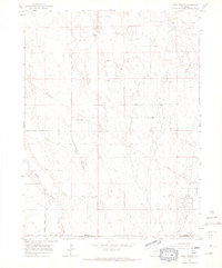
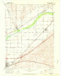
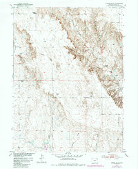
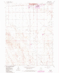
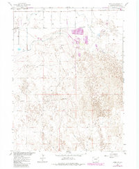
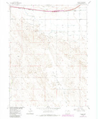
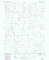
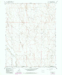
1965 Map of Huey Ranch
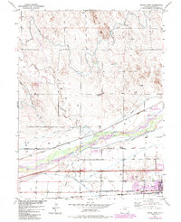
USGS Topo · Published 1967This historical map portrays the area of Huey Ranch in 1965, primarily covering Morgan County as well as portions of Adams County and Washington County. Featuring a scale of 1:24000, this map provides a highly detailed snapshot of the terrain, roads, buildings, counties, and historical landmarks in the Huey Ranch region at the time. Published in 1967, it is one of 3 known editions of this map due to revisions or reprints.
Find a feature on this map
16 named features on this map. Tap any name to fly to it.
Don’t see what you’re looking for? This feature index may not catch every label — zoom into the map to look around manually.
Map Details
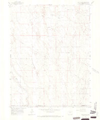
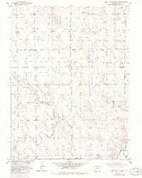
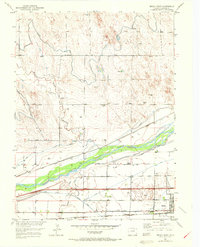
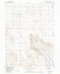
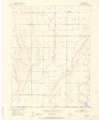
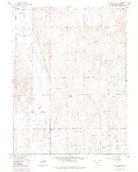
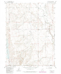
Editions of this 1965 Huey Ranch Map
3 editions found
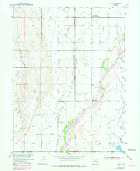
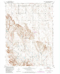
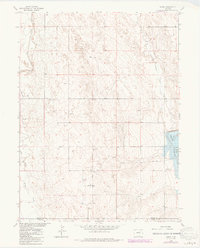
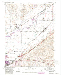
Historical Maps of Morgan County Through Time
19 maps found
1950 Hoyt
Morgan County, CO
1951 Antelope Springs
Morgan County, CO
1951 Brush East
Morgan County, CO
1951 Brush West
Morgan County, CO
1951 Dead Horse Springs
Morgan County, CO
1951 Hoyt
Morgan County, CO
1951 Judson Hills
Morgan County, CO
1951 Peace Valley School
Morgan County, CO
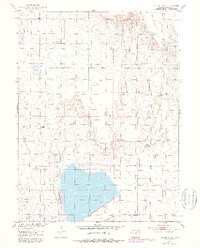
1951 Sunken Lake
Morgan County, CO
1963 Adena
Morgan County, CO
1963 Lamb
Morgan County, CO
1963 Round Top
Morgan County, CO
1963 Vallery
Morgan County, CO
1965 Gary
Morgan County, CO
1965 Huey Ranch
Morgan County, CO
1965 Miller Ranch
Morgan County, CO
1965 Vallery SE
Morgan County, CO
1971 Brush East
Morgan County, CO
1971 Brush West
Morgan County, CO