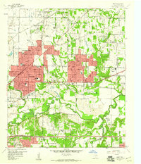
1959 Map of Hurst
USGS Topo · Published 1961About this map
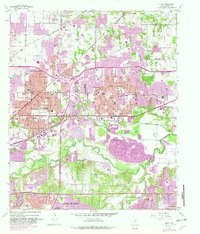
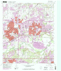
The West Fork Trinity River snakes across this landscape, separating the residential growth of the Mid-Cities from the southern industrial areas and the Meadowbrook Municipal Golf Course. During this era of rapid suburbanization, pink-shaded residential blocks expand into the traditional rural landscape, surrounding older landmarks like the Variety Club Boys Ranch and the private Mangham Airport (Private). The map records a dense network of suburban schools including Snow Heights Sch and Richland Jr High Sch, alongside established spiritual centers like St Philip Ch and Bellevue Ch.
Find a feature on this map
80 named features on this map. Tap any name to fly to it.
Don’t see what you’re looking for? This feature index may not catch every label — zoom into the map to look around manually.
Map Details
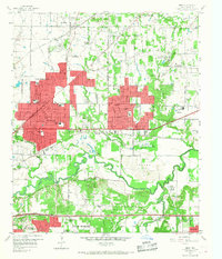
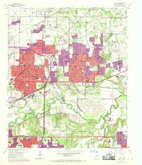
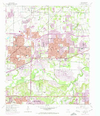
Editions of this 1959 Hurst Map
6 editions found
Other maps of this area

1894 · Fort Worth
USGS Topo · 1:125,000

1931 · Grapevine
USGS Topo · 1:62,500

1954 · Dallas
USGS Topo · 1:250,000

1955 · Haltom City
USGS Topo · 1:24,000

1955 · Keller
USGS Topo · 1:24,000

1955 · Fort Worth
USGS Topo · 1:24,000

1955 · Haltom City
USGS Topo · 1:62,500

1958 · Dallas
USGS Topo · 1:250,000

1959 · Kennedale
USGS Topo · 1:24,000

1959 · Arlington
USGS Topo · 1:24,000