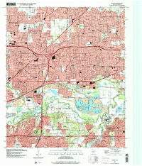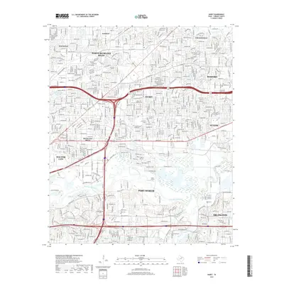
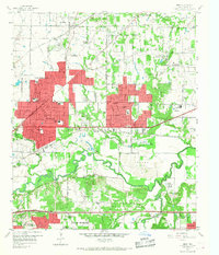
1959 Map of Hurst
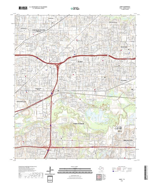
USGS Topo · Published 1974About this map
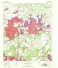
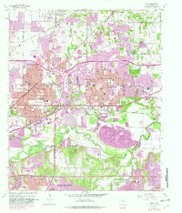
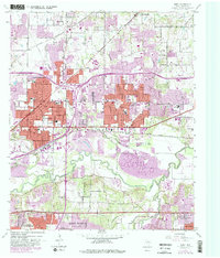
Hurst and its neighbors serve as the focal point of this Tarrant County study, capturing the mid-century expansion between Fort Worth and Arlington. The landscape is defined by the winding course of the West Fork Trinity River and its numerous tributaries, including Calloway Branch and Walker Branch. Transportation corridors like the St Louis Southwestern and Chicago Rock Island and Pacific railroads intersect the growing residential grids of North Richland Hills and Richland Hills. Local heritage is anchored by sites such as the Arwine Cem and Parker Cem, while the industrial footprint of the era is evidenced by extensive Gravel Pits and the Hart Spur siding. Revisions from 1973 are layered over the 1959 base, showing the rapid conversion of open land into suburban infrastructure.
Find a feature on this map
57 named features on this map. Tap any name to fly to it.
Don’t see what you’re looking for? This feature index may not catch every label — zoom into the map to look around manually.
Map Details
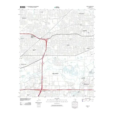
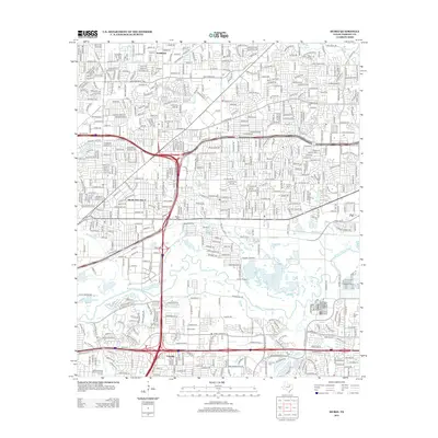
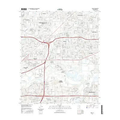
Editions of this 1959 Hurst Map
6 editions found
Historical Maps of Fort Worth Through Time
7 maps found