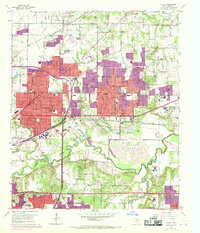
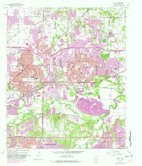
1959 Map of Hurst
USGS Topo · Published 1969About this map
Residential subdivisions and industrial expansion define this mid-century portrait of Northeast Tarrant County. The rapid growth of Hurst, North Richland Hills, and Richland Hills is evident, as residential tracts (indicated in red and purple revisions) press against older rural landmarks. Central to the area’s connectivity is the Dallas-Fort Worth Turnpike, which cuts through the southern reaches near Ederville, while the Chicago Rock Island and Pacific railroad maintains its industrial corridor through the heart of the developed zones.
Find a feature on this map
52 named features on this map. Tap any name to fly to it.
Don’t see what you’re looking for? This feature index may not catch every label — zoom into the map to look around manually.
Map Details
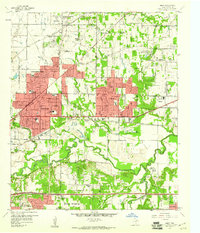
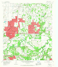
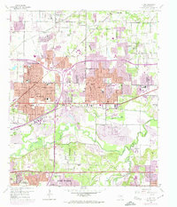
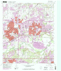
Editions of this 1959 Hurst Map
6 editions found
Other maps of this area

1894 · Fort Worth
USGS Topo · 1:125,000

1931 · Grapevine
USGS Topo · 1:62,500

1954 · Dallas
USGS Topo · 1:250,000

1955 · Haltom City
USGS Topo · 1:24,000

1955 · Keller
USGS Topo · 1:24,000

1955 · Fort Worth
USGS Topo · 1:24,000

1955 · Haltom City
USGS Topo · 1:62,500

1958 · Dallas
USGS Topo · 1:250,000

1959 · Kennedale
USGS Topo · 1:24,000

1959 · Arlington
USGS Topo · 1:24,000