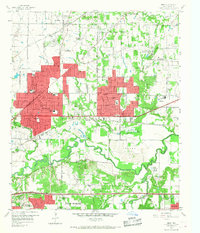
1959 Map of Hurst
USGS Topo · Published 1968About this map
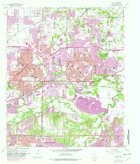
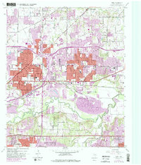
Hurst, North Richland Hills, and Richland Hills stand as the primary urban centers in this late-1950s landscape, their expanding residential grids highlighted in red. The West Fork Trinity River carves a meandering path across the lower half of the sheet, surrounded by extensive gravel pits that underscore the area's industrial activity. Significant infrastructure defines the corridor, including the Chicago Rock Island and Pacific railroad and the Dallas-Fort Worth Turnpike (Toll Road). Cultural landmarks such as the Variety Club Boys Ranch and the private Mangham Airport reflect the mid-century development of the Tarrant County suburbs. Local history is anchored by family-named sites like Arwine Cem and Harrison Cem, while neighborhood schools like Snow Heights Sch and Bell High Sch indicate the post-war population boom preceding the modern suburban sprawl.
Find a feature on this map
61 named features on this map. Tap any name to fly to it.
Don’t see what you’re looking for? This feature index may not catch every label — zoom into the map to look around manually.
Map Details
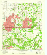
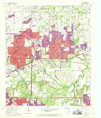
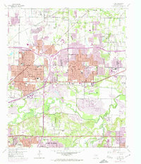
Editions of this 1959 Hurst Map
6 editions found
Other maps of this area

1894 · Fort Worth
USGS Topo · 1:125,000

1931 · Grapevine
USGS Topo · 1:62,500

1954 · Dallas
USGS Topo · 1:250,000

1955 · Haltom City
USGS Topo · 1:24,000

1955 · Keller
USGS Topo · 1:24,000

1955 · Fort Worth
USGS Topo · 1:24,000

1955 · Haltom City
USGS Topo · 1:62,500

1958 · Dallas
USGS Topo · 1:250,000

1959 · Kennedale
USGS Topo · 1:24,000

1959 · Arlington
USGS Topo · 1:24,000