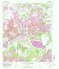
1959 Map of Hurst
USGS Topo · Published 1982About this map
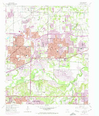
The West Fork Trinity River snakes across the southern portion of this Tarrant County survey, defining a landscape of active industry and rapid suburban expansion. During the mid-century period, the area between Hurst and Bedford transformed into a modern residential corridor, while the river bottoms remained dominated by large-scale Gravel Pits and public works like Sewage Disposal plants. Evidence of the region's earlier rural character persists in the form of several family and community burial grounds, including Arwine Cem and Parker Cem.
Find a feature on this map
59 named features on this map. Tap any name to fly to it.
Don’t see what you’re looking for? This feature index may not catch every label — zoom into the map to look around manually.
Map Details
Editions of this 1959 Hurst Map
6 editions found
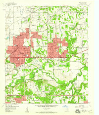
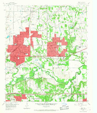
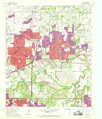
Other maps of this area

1894 · Fort Worth
USGS Topo · 1:125,000

1931 · Grapevine
USGS Topo · 1:62,500

1954 · Dallas
USGS Topo · 1:250,000

1955 · Haltom City
USGS Topo · 1:24,000

1955 · Keller
USGS Topo · 1:24,000

1955 · Fort Worth
USGS Topo · 1:24,000

1955 · Haltom City
USGS Topo · 1:62,500

1958 · Dallas
USGS Topo · 1:250,000

1959 · Kennedale
USGS Topo · 1:24,000

1959 · Arlington
USGS Topo · 1:24,000