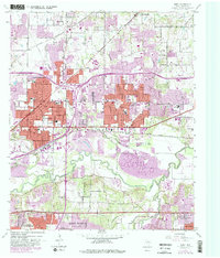
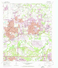
1959 Map of Hurst
USGS Topo · Published 1988About this map
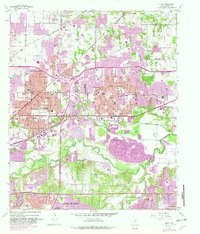
The West Fork Trinity River carves through the southern landscape of this survey, bordered by the extensive Gravel Pits that defined the local industrial activity between Fort Worth and Arlington. The map documents a pivotal era of suburban expansion in the Mid-Cities, with early residential footprints spreading across Hurst, Bedford, and Euless. The purple tinting highlights significant urban growth that occurred since the late 1950s, particularly around the Kansas Oklahoma and Texas and St Louis Southwestern rail corridors.
Find a feature on this map
56 named features on this map. Tap any name to fly to it.
Don’t see what you’re looking for? This feature index may not catch every label — zoom into the map to look around manually.
Map Details
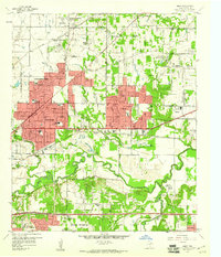
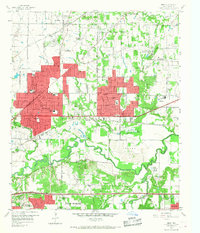
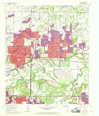
Editions of this 1959 Hurst Map
6 editions found
Other maps of this area

1894 · Fort Worth
USGS Topo · 1:125,000

1931 · Grapevine
USGS Topo · 1:62,500

1954 · Dallas
USGS Topo · 1:250,000

1955 · Haltom City
USGS Topo · 1:24,000

1955 · Keller
USGS Topo · 1:24,000

1955 · Fort Worth
USGS Topo · 1:24,000

1955 · Haltom City
USGS Topo · 1:62,500

1958 · Dallas
USGS Topo · 1:250,000

1959 · Kennedale
USGS Topo · 1:24,000

1959 · Arlington
USGS Topo · 1:24,000