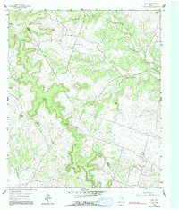
1954 Map of Izoro
USGS Topo · Published 1992About this map
The small settlement of Izoro sits at the intersection of rural roads in the hill country of central Texas, straddling the line between Coryell Co and Lampasas Co. This 1954 survey reveals a landscape shaped by narrow creek valleys and limestone features, including Diamond Cave and Dumas Cave. Life in this period centered around dispersed community landmarks such as Peabody Sch and the cluster of Hillsdale Sch and Hillsdale Cem.
Find a feature on this map
19 named features on this map. Tap any name to fly to it.
Don’t see what you’re looking for? This feature index may not catch every label — zoom into the map to look around manually.
Map Details
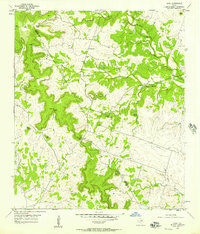
Editions of this 1954 Izoro Map
2 editions found
Other maps of this area

1887 · Lampasas
USGS Topo · 1:125,000

1894 · Lampasas
USGS Topo · 1:125,000

1894 · Gatesville
USGS Topo · 1:125,000

1947 · Fort Hood
USGS Topo · 1:62,500

1947 · Purmela
USGS Topo · 1:62,500

1947 · Pidcoke
USGS Topo · 1:24,000

1947 · Purmela
USGS Topo · 1:24,000

1947 · Twin Moutains
USGS Topo · 1:24,000

1954 · Brownwood
USGS Topo · 1:250,000

1954 · Evant
USGS Topo · 1:62,500