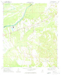
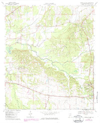
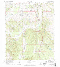
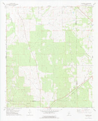
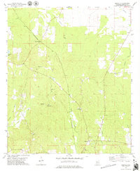
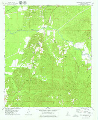
1970 Map of Jefferson
USGS Topo · Published 1973This historical map portrays the area of Jefferson in 1970, primarily covering Marengo County as well as portions of Sumter County. Featuring a scale of 1:24000, this map provides a highly detailed snapshot of the terrain, roads, buildings, counties, and historical landmarks in the Jefferson region at the time. Published in 1973, it is one of 3 known editions of this map due to revisions or reprints.
Find a feature on this map
22 named features on this map. Tap any name to fly to it.
Don’t see what you’re looking for? This feature index may not catch every label — zoom into the map to look around manually.
Map Details
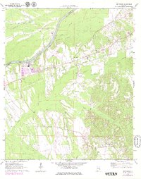
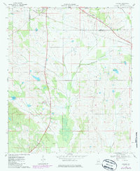
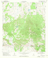
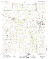
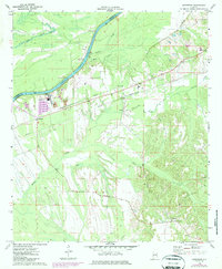
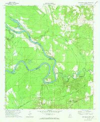
Editions of this 1970 Jefferson Map
3 editions found
Historical Maps of Marengo County Through Time
24 maps found
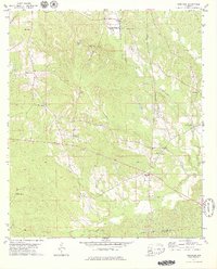
1968 Gallion
Marengo County, AL
1968 Thomaston East
Marengo County, AL
1968 Thomaston West
Marengo County, AL
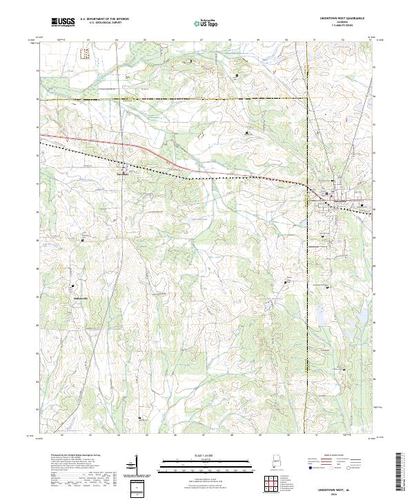
1968 Uniontown West
Marengo County, AL
1970 Jefferson
Marengo County, AL
1970 Myrtlewood North
Marengo County, AL
1970 Old Spring Hill
Marengo County, AL
1978 Flatwood
Marengo County, AL
1978 Magnolia
Marengo County, AL
1978 Miller
Marengo County, AL
1978 Myrtlewood South
Marengo County, AL
1978 Surginer
Marengo County, AL
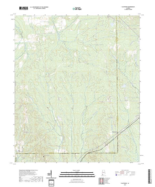
2024 Flatwood
Marengo County, AL
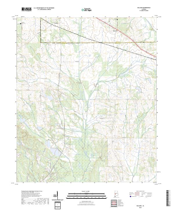
2024 Gallion
Marengo County, AL
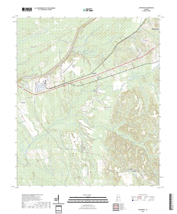
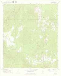
2024 Jefferson
Marengo County, AL
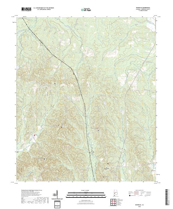
2024 Magnolia
Marengo County, AL
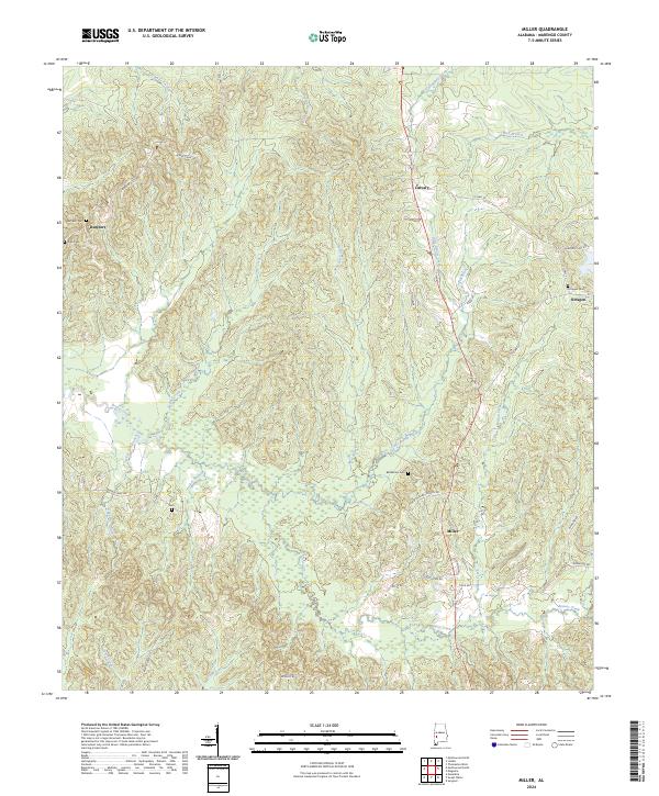
2024 Miller
Marengo County, AL

2024 Myrtlewood North
Marengo County, AL
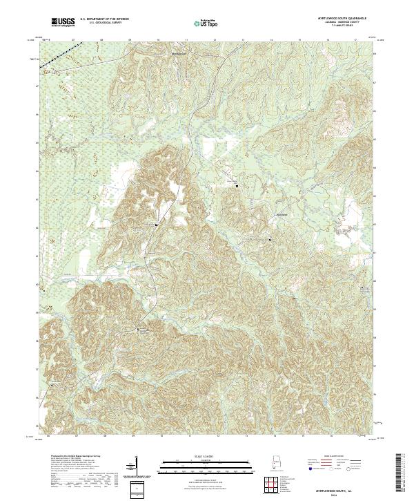
2024 Myrtlewood South
Marengo County, AL
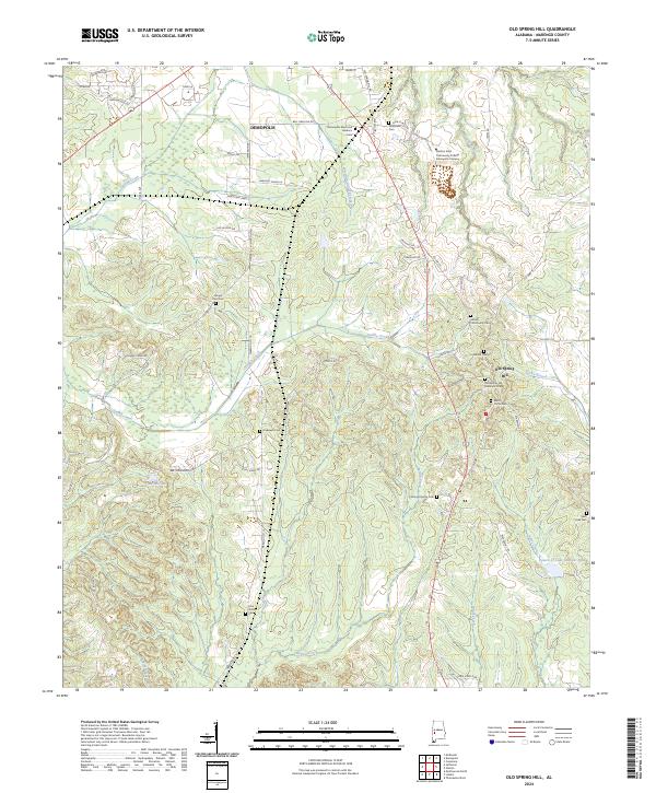
2024 Old Spring Hill
Marengo County, AL
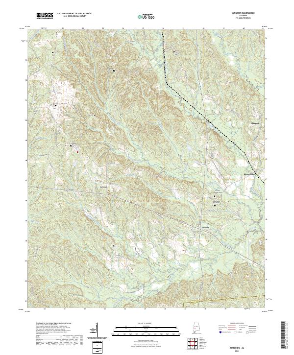
2024 Surginer
Marengo County, AL
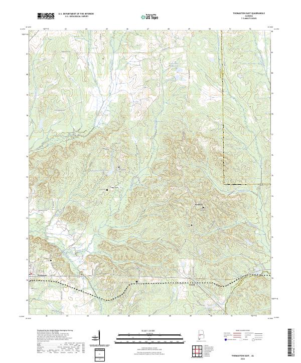
2024 Thomaston East
Marengo County, AL
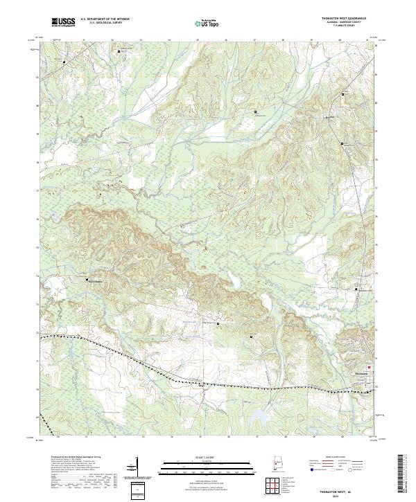
2024 Thomaston West
Marengo County, AL
2024 Uniontown West
Marengo County, AL