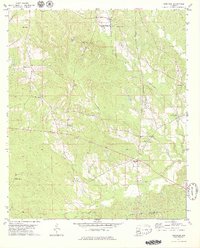
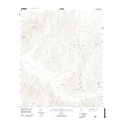
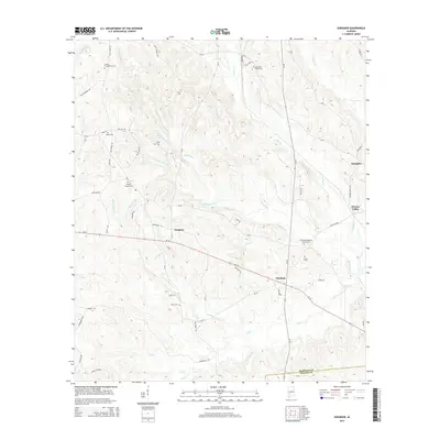
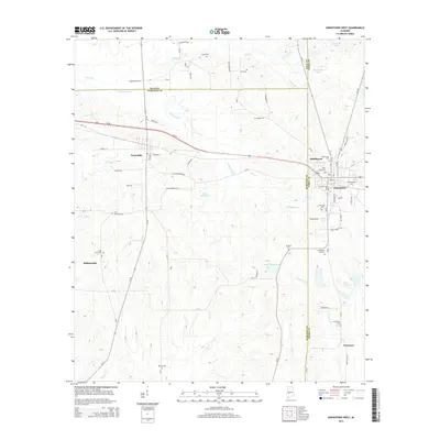
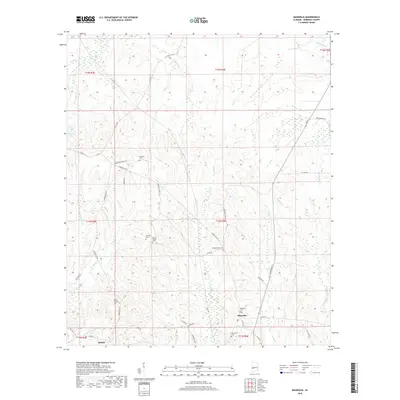
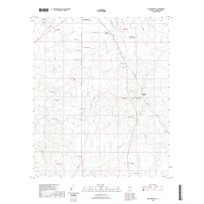
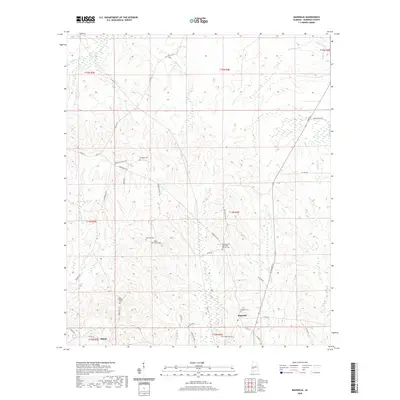
2024 Map of Gallion
USGS Topo · Published 2024About this map
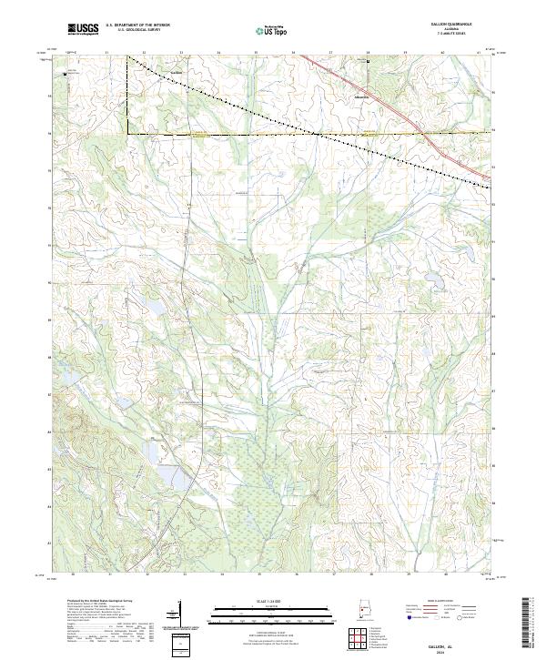
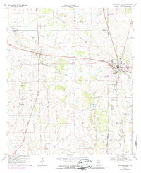
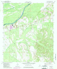
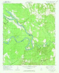
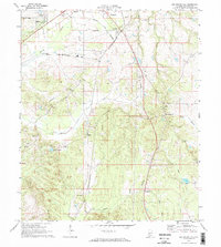
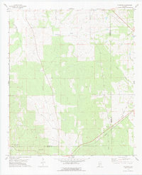
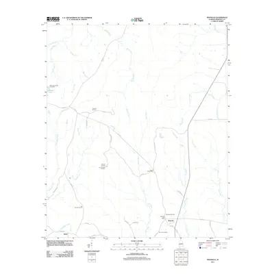
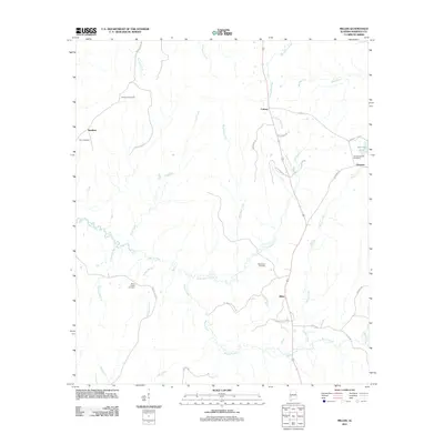
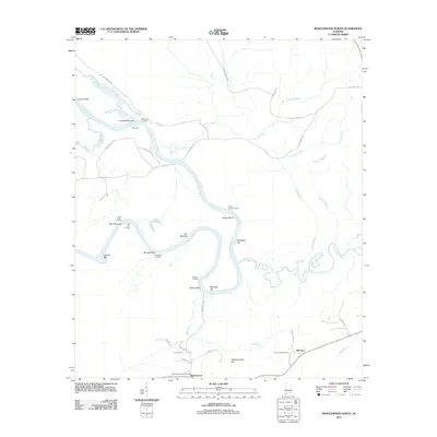
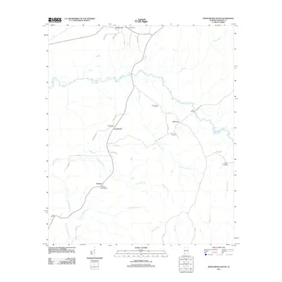
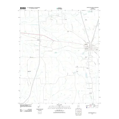
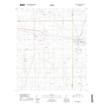
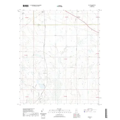
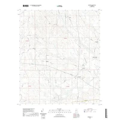
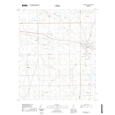
Gallion and Allenville sit along the northern boundary of Marengo County, where the landscape is defined by the winding paths of Powell Creek and Cottonwood Creek. This 2024 survey documents a region characterized by small-scale rural settlements and family-named landmarks. The presence of John the Baptist Cem and Allenville Cem provides essential points of reference for genealogists tracing ancestral roots in this part of Alabama. The geography is further marked by several small bodies of water, including Lake Henry and Fields Lake, and a network of county roads like Marengo Co 5 and Allenville Rd that connect the scattered homesites. This contemporary topographic study highlights the persistent rural character of the Black Belt region, showing how modern infrastructure like AL Highway 69 and Highway 80 intersects with older land patterns and natural drainage systems like Little Dry Creek.
Find a feature on this map
44 named features on this map. Tap any name to fly to it.
Don’t see what you’re looking for? This feature index may not catch every label — zoom into the map to look around manually.
Map Details
Editions of this 2024 Gallion Map
This is the sole edition of this map. No revisions or reprints were ever made.
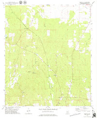
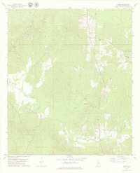
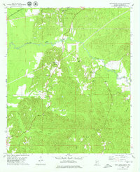
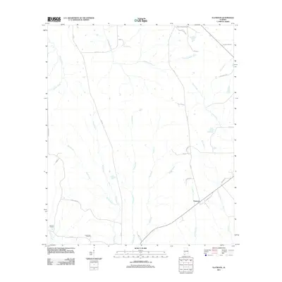
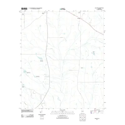
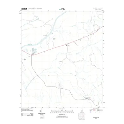
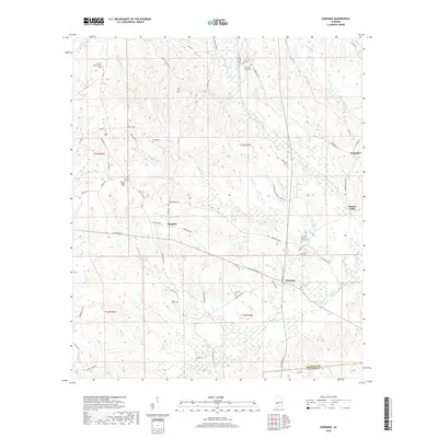
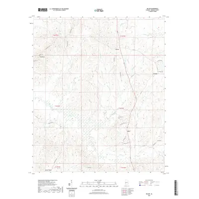
Historical Maps of Allenville Through Time
72 maps found
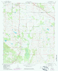
1968 Gallion
Marengo County, AL
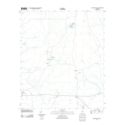
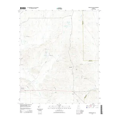
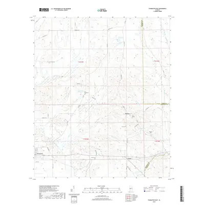
1968 Thomaston East
Marengo County, AL
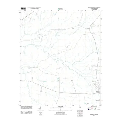
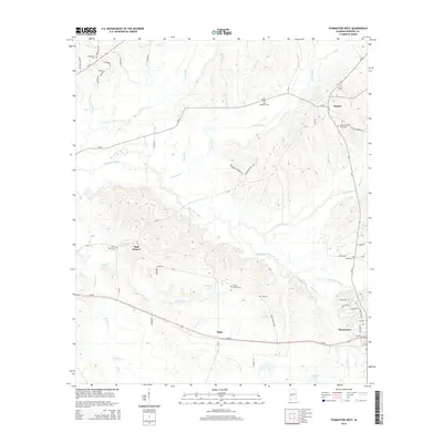
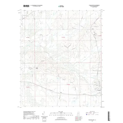
1968 Thomaston West
Marengo County, AL
1968 Uniontown West
Marengo County, AL
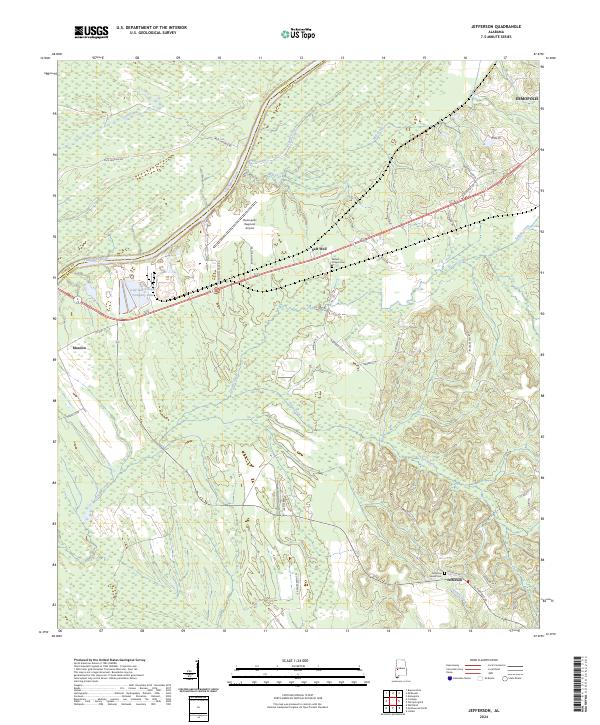
1970 Jefferson
Marengo County, AL
1970 Myrtlewood North
Marengo County, AL
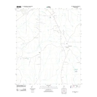
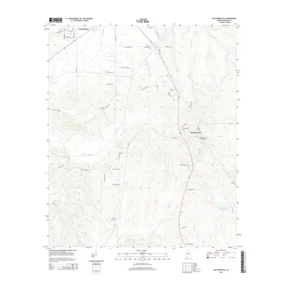
1970 Old Spring Hill
Marengo County, AL
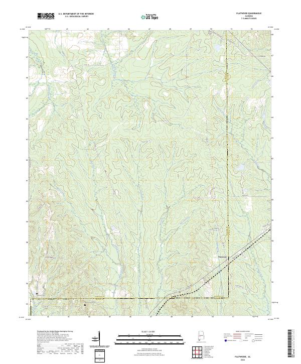
1978 Flatwood
Marengo County, AL
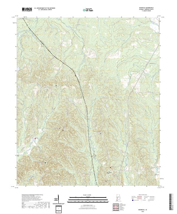
1978 Magnolia
Marengo County, AL
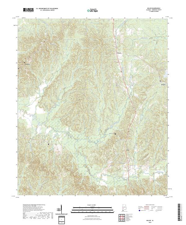
1978 Miller
Marengo County, AL
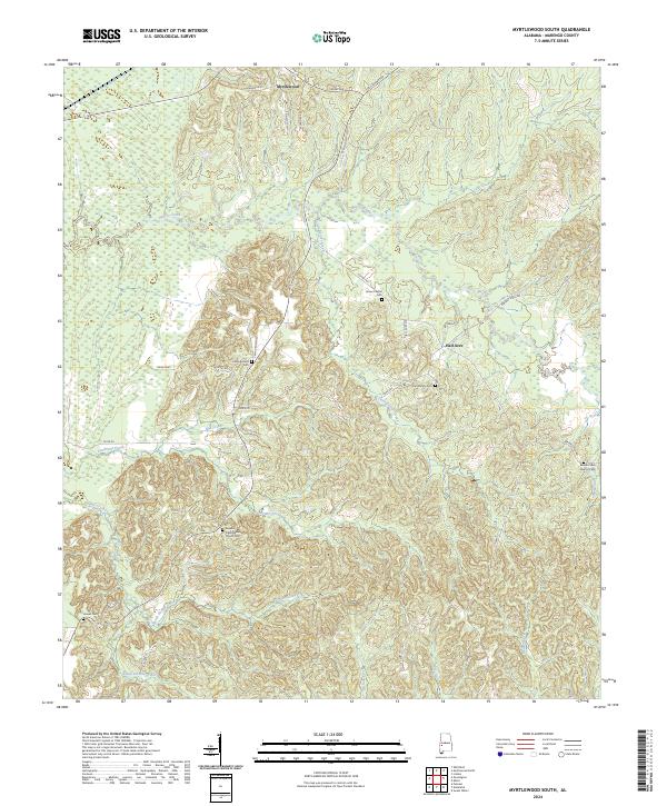
1978 Myrtlewood South
Marengo County, AL
1978 Surginer
Marengo County, AL
2011 Flatwood
Marengo County, AL
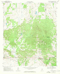
2011 Gallion
Marengo County, AL
2011 Jefferson
Marengo County, AL
2011 Magnolia
Marengo County, AL
2011 Miller
Marengo County, AL
2011 Myrtlewood North
Marengo County, AL
2011 Myrtlewood South
Marengo County, AL
2011 Old Spring Hill
Marengo County, AL
2011 Surginer
Marengo County, AL
2011 Thomaston East
Marengo County, AL
2011 Thomaston West
Marengo County, AL
2011 Uniontown West
Marengo County, AL
2014 Flatwood
Marengo County, AL
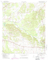
2014 Gallion
Marengo County, AL
2014 Jefferson
Marengo County, AL
2014 Magnolia
Marengo County, AL
2014 Miller
Marengo County, AL
2014 Myrtlewood North
Marengo County, AL
2014 Myrtlewood South
Marengo County, AL
2014 Old Spring Hill
Marengo County, AL
2014 Surginer
Marengo County, AL
2014 Thomaston East
Marengo County, AL
2014 Thomaston West
Marengo County, AL
2014 Uniontown West
Marengo County, AL
2018 Flatwood
Marengo County, AL
2018 Gallion
Marengo County, AL
2018 Jefferson
Marengo County, AL
2018 Magnolia
Marengo County, AL
2018 Miller
Marengo County, AL
2018 Myrtlewood North
Marengo County, AL
2018 Myrtlewood South
Marengo County, AL
2018 Old Spring Hill
Marengo County, AL
2018 Surginer
Marengo County, AL
2018 Thomaston East
Marengo County, AL
2018 Thomaston West
Marengo County, AL
2018 Uniontown West
Marengo County, AL
2020 Flatwood
Marengo County, AL
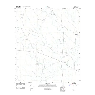
2020 Gallion
Marengo County, AL
2020 Jefferson
Marengo County, AL
2020 Magnolia
Marengo County, AL
2020 Miller
Marengo County, AL
2020 Myrtlewood North
Marengo County, AL
2020 Myrtlewood South
Marengo County, AL
2020 Old Spring Hill
Marengo County, AL
2020 Surginer
Marengo County, AL
2020 Thomaston East
Marengo County, AL
2020 Thomaston West
Marengo County, AL
2020 Uniontown West
Marengo County, AL
2024 Flatwood
Marengo County, AL
2024 Gallion
Marengo County, AL
2024 Jefferson
Marengo County, AL
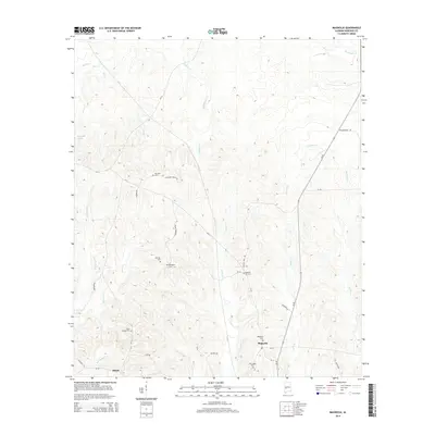
2024 Magnolia
Marengo County, AL
2024 Miller
Marengo County, AL

2024 Myrtlewood North
Marengo County, AL
2024 Myrtlewood South
Marengo County, AL
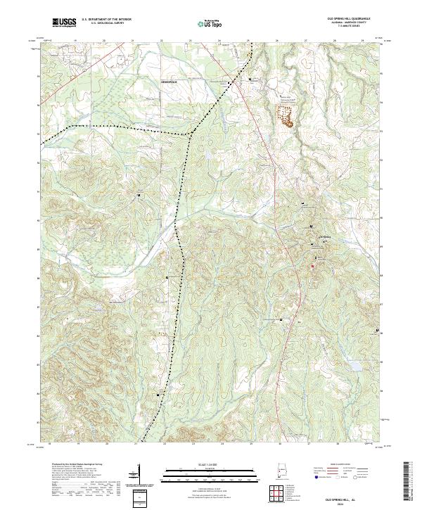
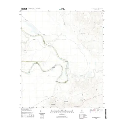
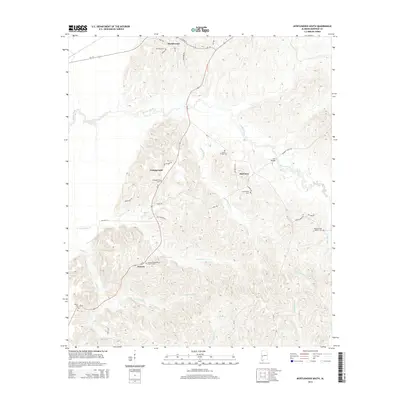
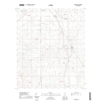
2024 Old Spring Hill
Marengo County, AL
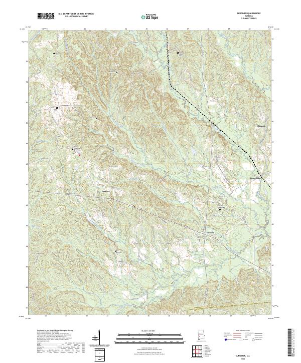
2024 Surginer
Marengo County, AL
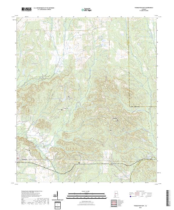
2024 Thomaston East
Marengo County, AL
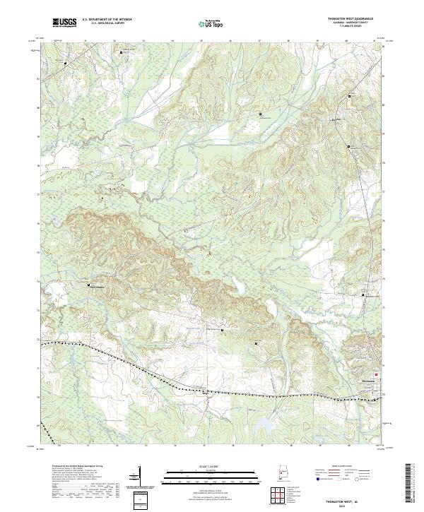
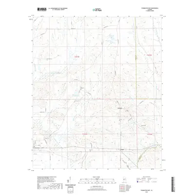
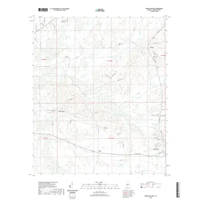
2024 Thomaston West
Marengo County, AL
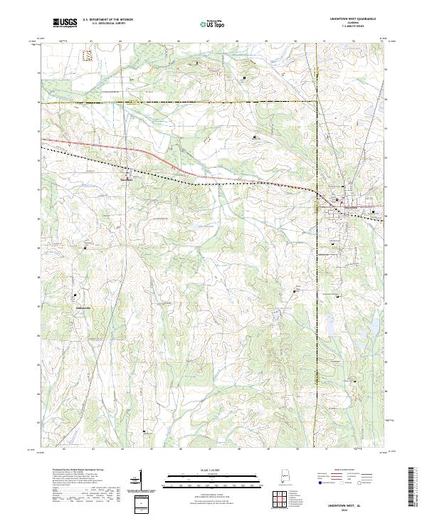
2024 Uniontown West
Marengo County, AL