
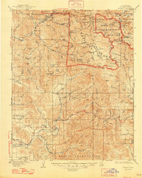
1909 Map of Kaweah
USGS Topo · Published 1909About this map
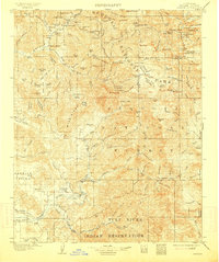
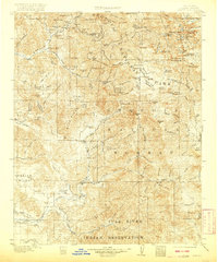
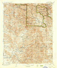
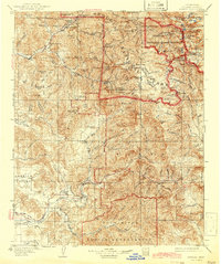
Sequoia National Park dominates the northern half of this 1909 survey, revealing the early infrastructure of the Sierra Nevada's western slopes. The map captures a transitional era of resource management and early tourism, where industrial sites like Atwells Mill and Dillon Mill sit alongside established mountain destinations such as Mineral King. In the lower elevations, the settlement of Three Rivers marks the confluence of the Kaweah River forks, while the irrigation-dependent landscape of Frazier Valley is defined by the Mt. Whitney Ditch. This document provides essential detail for researchers tracing early 20th-century hydrology and land use, from the Tule River Indian Res in the south to the high-altitude Sawtooth Peak and Farewell Gap on the Great Western Divide. The presence of Daunt P.O. and Success highlights vanished or relocated nodes of local commerce and postal history within the foothills.
Find a feature on this map
156 named features on this map. Tap any name to fly to it.
Don’t see what you’re looking for? This feature index may not catch every label — zoom into the map to look around manually.
Map Details
Editions of this 1909 Kaweah Map
7 editions found

Other maps of this area

1903 · Tehipite
USGS Topo · 1:125,000

1904 · Kaweah
USGS Topo · 1:125,000

1905 · Tehipite
USGS Topo · 1:125,000

1905 · Olancha
USGS Topo · 1:125,000

1905 · Fairview
USGS Topo · 1:24,000

1906 · Kernville
USGS Topo · 1:125,000

1907 · Olancha
USGS Topo · 1:125,000

1907 · Mt. Whitney
USGS Topo · 1:125,000

1908 · Kernville
USGS Topo · 1:125,000

1918 · Fairview
USGS Topo · 1:31,680