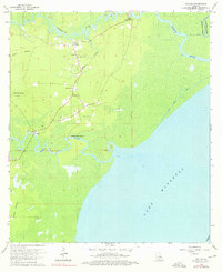
1963 Map of Killian
USGS Topo · Published 1976About this map
Killian sits at the heart of this low-lying riverine landscape in Livingston Parish, where the local economy and settlement patterns are dictated by the winding paths of the Tickfaw River and the Amite River. The topography is dominated by extensive wetlands such as Bull Run Swamp and Bear Island, highlighting the importance of elevated ground for community centers like Clio. This mid-century survey reveals a network of rural churches and family-named cemeteries, including Bethlehem Church, Huff Chapel, and McKinney Cemetery, which reflect the area's genealogical roots. The presence of Carthage Bluff Landing on the Amite and the Cutoff Canal near the Tangipahoa River illustrate the historical reliance on water routes for transport and drainage before modern road networks were fully realized. The expansive northern reaches of Lake Maurepas define the southern boundary, anchoring the region's relationship with the greater Louisiana coastal basin.
Find a feature on this map
23 named features on this map. Tap any name to fly to it.
Don’t see what you’re looking for? This feature index may not catch every label — zoom into the map to look around manually.
Map Details
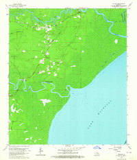
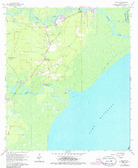
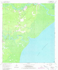
Editions of this 1963 Killian Map
4 editions found
Other maps of this area

1892 · Mount Airy
USGS Topo · 1:62,500

1892 · Bonnet Carre
USGS Topo · 1:62,500

1934 · Springfield
USGS Topo · 1:62,500

1935 · Ponchatoula
USGS Topo · 1:62,500

1936 · Ruddock
USGS Topo · 1:31,680

1936 · Bonnet Carre
USGS Topo · 1:62,500

1939 · Ponchatoula
USGS Topo · 1:62,500

1939 · Springfield
USGS Topo · 1:62,500

1946 · North of Garyville
USGS Topo · 1:31,680

1946 · Petite Amite River
USGS Topo · 1:31,680