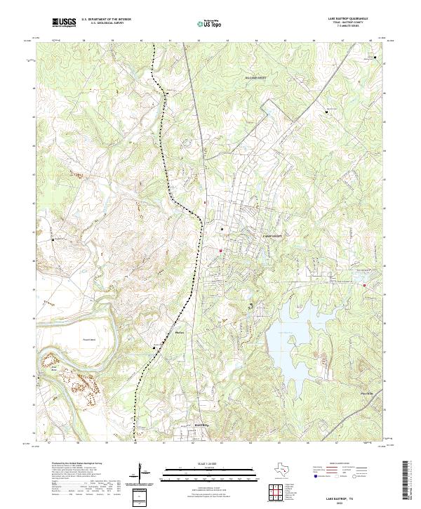
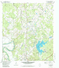
2022 Map of Lake Bastrop
USGS Topo · Published 2022About this map
The Colorado River winds through the southwestern corner of this map, shaping the alluvial landscape around Powell Bend, Reed Bend, and Reids Bend. North of the river, the settlement of Phelan and the sprawling military grounds of Camp Swift occupy the higher ground between Big Sandy Cr and the reservoir at Lake Bastrop. This 2022 survey illustrates the modern configuration of the area’s water management and residential development, including the community of Pine Hills and the secondary waters of Sanders Lake and Tuck Lake.
Find a feature on this map
130 named features on this map. Tap any name to fly to it.
Don’t see what you’re looking for? This feature index may not catch every label — zoom into the map to look around manually.
Map Details
Editions of this 2022 Lake Bastrop Map
This is the sole edition of this map. No revisions or reprints were ever made.
Historical Maps of Camp Swift Through Time
18 maps found
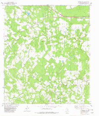
1964 Jeddo
Bastrop County, TX
1964 Togo
Bastrop County, TX
1968 Lytton Springs
Bastrop County, TX
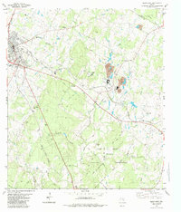
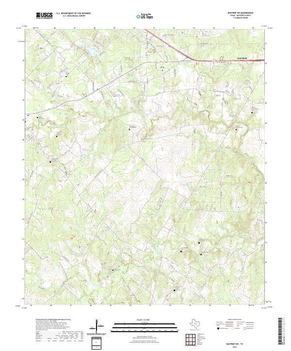
1982 Bastrop SW
Bastrop County, TX
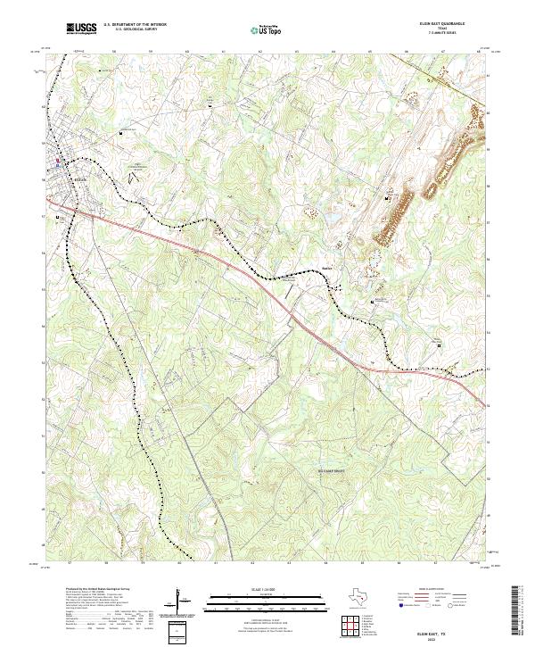
1982 Elgin East
Bastrop County, TX
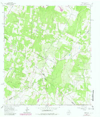
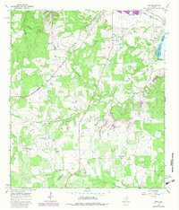
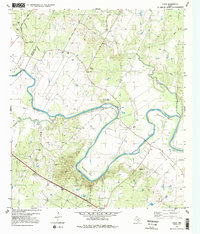
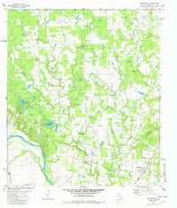
1982 Lake Bastrop
Bastrop County, TX
1982 Smithville NW
Bastrop County, TX
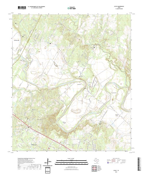
1982 Utley
Bastrop County, TX
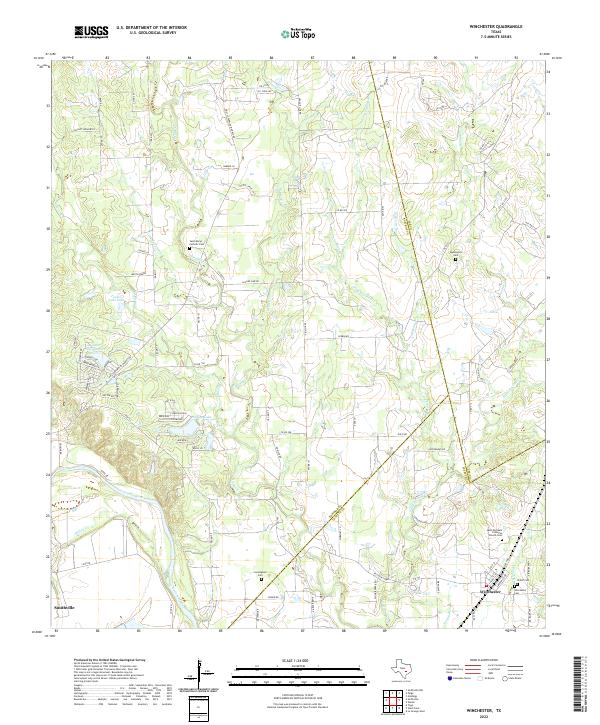
1982 Winchester
Bastrop County, TX
2022 Bastrop SW
Bastrop County, TX
2022 Elgin East
Bastrop County, TX
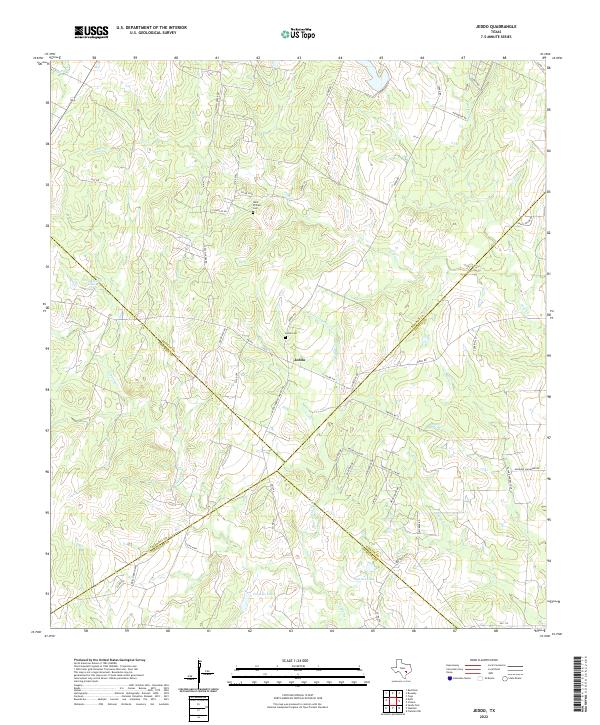
2022 Jeddo
Bastrop County, TX
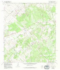
2022 Lake Bastrop
Bastrop County, TX
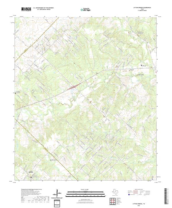
2022 Lytton Springs
Bastrop County, TX
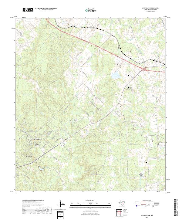
2022 Smithville NW
Bastrop County, TX
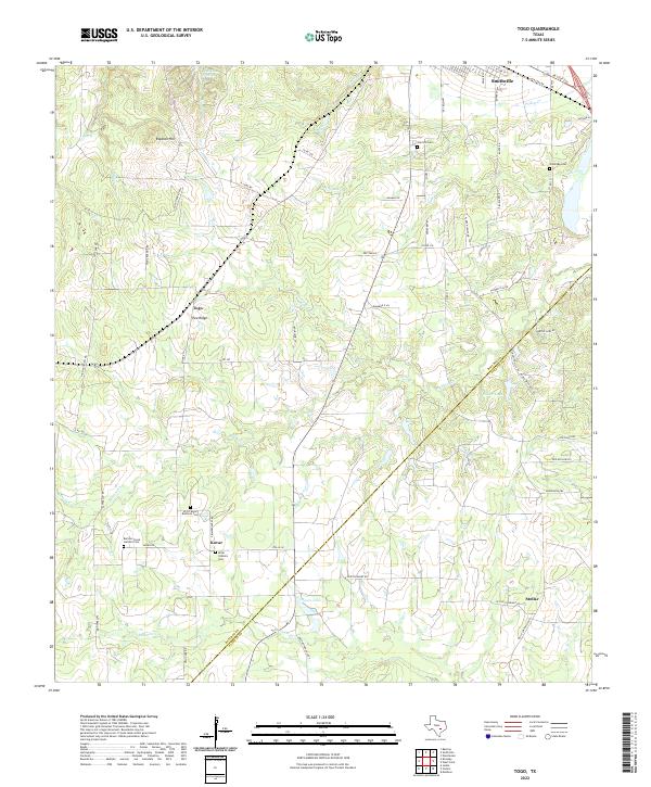
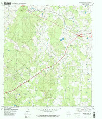
2022 Togo
Bastrop County, TX
2022 Utley
Bastrop County, TX
2022 Winchester
Bastrop County, TX