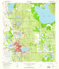
1952 Map of Lake Wales
USGS Topo · Published 1960About this map
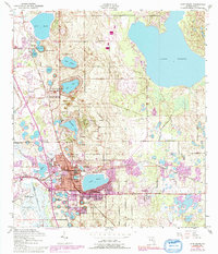
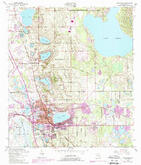
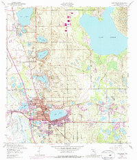
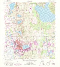
Lake Wales and its surrounding citrus-belt terrain are captured here just after the mid-century, defined by a high concentration of freshwater lakes and the prominent elevation of Iron Mountain. The landmark Bok Tower stands as a focal point overlooking Mountain Lake, while the town center shows established institutional footprints including Roosevelt Sch and Polk Ave Sch. The landscape is crisscrossed by two major rail lines, the Atlantic Coast Line and the Seaboard Air Line, which historically served the region's agricultural output. North of the city, the settlement of Waverly and the community of Lake of the Hills sit among dozens of named water bodies like Lake Pierce and Lake Starr. This survey documents a period of Florida's interior development where small-town urban grids were deeply integrated with the natural topography and drainage systems like the Peace Creek Drainage Canal.
Find a feature on this map
42 named features on this map. Tap any name to fly to it.
Don’t see what you’re looking for? This feature index may not catch every label — zoom into the map to look around manually.
Map Details
Editions of this 1952 Lake Wales Map
9 editions found
Other maps of this area

1952 · Lake Wales
USGS Topo · 1:24,000

1952 · Babson Park
USGS Topo · 1:24,000

1952 · Hesperides
USGS Topo · 1:24,000

1952 · Lake Weohyakapka
USGS Topo · 1:24,000

1953 · Dundee
USGS Topo · 1:24,000

1953 · Lake Hatchineha
USGS Topo · 1:24,000

1955 · Eloise
USGS Topo · 1:24,000

1955 · Alturas
USGS Topo · 1:24,000

1955 · Orlando
USGS Topo · 1:250,000

1956 · Fort Pierce
USGS Topo · 1:250,000