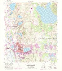
1952 Map of Lake Wales
USGS Topo · Published 1993About this map
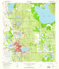
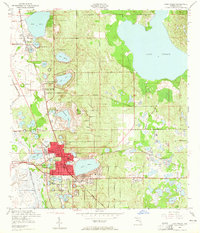
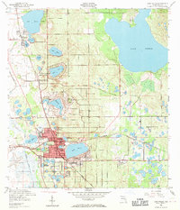
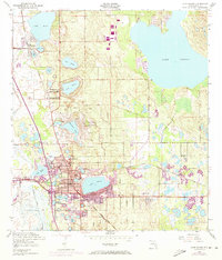
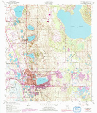
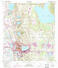
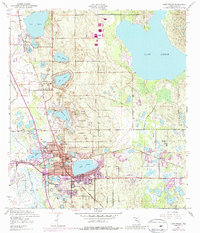
Iron Mountain serves as a prominent high point in this Central Florida landscape, famously crowned by the Bok Tower landmark. The city of Lake Wales acts as the central hub, surrounded by a dense concentration of citrus-era water bodies including Lake Mabel, Lake Starr, and Lake Serena. The map illustrates a transitional period where traditional citrus groves and the established Seaboard Coast Line railroad corridors began to meet mid-century urban expansion. Beyond the residential core, the geography is defined by a sophisticated water management system, seen in the Peace Creek Drainage Canal, and significant recreational and industrial landmarks like the Lake Wales Municipal Airport and Lake of the Hills. Smaller communities such as Waverly and Venus are also documented, alongside local institutions like Refuge Ch and the Polk Ave Sch.
Find a feature on this map
35 named features on this map. Tap any name to fly to it.
Don’t see what you’re looking for? This feature index may not catch every label — zoom into the map to look around manually.
Map Details
Editions of this 1952 Lake Wales Map
9 editions found
Other maps of this area

1952 · Lake Wales
USGS Topo · 1:24,000

1952 · Babson Park
USGS Topo · 1:24,000

1952 · Hesperides
USGS Topo · 1:24,000

1952 · Lake Weohyakapka
USGS Topo · 1:24,000

1953 · Dundee
USGS Topo · 1:24,000

1953 · Lake Hatchineha
USGS Topo · 1:24,000

1955 · Eloise
USGS Topo · 1:24,000

1955 · Alturas
USGS Topo · 1:24,000

1955 · Orlando
USGS Topo · 1:250,000

1956 · Fort Pierce
USGS Topo · 1:250,000