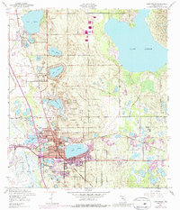
1952 Map of Lake Wales
USGS Topo · Published 1992About this map
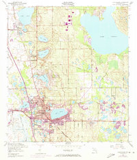
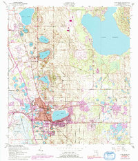
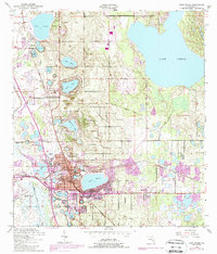
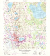
Iron Mountain rises as a prominent high point in this central Florida landscape, surveyed just as Lake Wales was undergoing mid-century expansion. The town is densely packed with civic infrastructure, from the High School and Roosevelt School to the Municipal Airport and the Radio Station (WIPC). A remarkable concentration of water bodies defines the region's character, including the sprawling Lake Pierce to the northeast and a chain of smaller lakes like Lake Serena, Lake Altamaha, and Lake Weaver that interlace with the residential and commercial districts.
Find a feature on this map
40 named features on this map. Tap any name to fly to it.
Don’t see what you’re looking for? This feature index may not catch every label — zoom into the map to look around manually.
Map Details
Editions of this 1952 Lake Wales Map
9 editions found
Other maps of this area

1952 · Lake Wales
USGS Topo · 1:24,000

1952 · Babson Park
USGS Topo · 1:24,000

1952 · Hesperides
USGS Topo · 1:24,000

1952 · Lake Weohyakapka
USGS Topo · 1:24,000

1953 · Dundee
USGS Topo · 1:24,000

1953 · Lake Hatchineha
USGS Topo · 1:24,000

1955 · Eloise
USGS Topo · 1:24,000

1955 · Alturas
USGS Topo · 1:24,000

1955 · Orlando
USGS Topo · 1:250,000

1956 · Fort Pierce
USGS Topo · 1:250,000