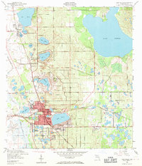
1952 Map of Lake Wales
USGS Topo · Published 1971About this map
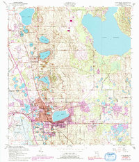
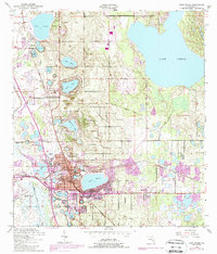
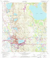
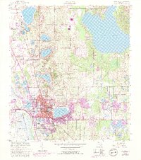
Bok Tower stands prominently atop Iron Mountain, marking the centerpiece of this mid-century Florida landscape. The town of Lake Wales is defined by its surrounding waters, with its street grid compressed between Lake Wales and Lake Effie. The town's growth is oriented along the competing rail lines of the Atlantic Coast Line and Seaboard Air Line, which cut through the citrus-growing ridges of the Central Highlands. North of the main settlement, the area transitions into a series of smaller residential pockets and schools like Roosevelt Sch and Polk Ave Sch. To the east, the vast expanse of Lake Pierce dominates the terrain, while the Peace Creek Drainage Canal to the west highlights the extensive hydrologic modifications made to support the local agricultural and phosphate interests of the era.
Find a feature on this map
44 named features on this map. Tap any name to fly to it.
Don’t see what you’re looking for? This feature index may not catch every label — zoom into the map to look around manually.
Map Details
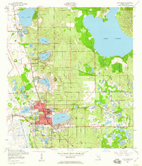
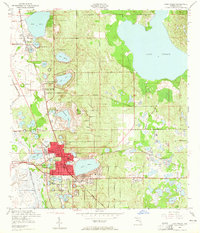
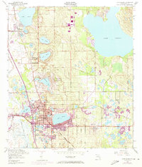
Editions of this 1952 Lake Wales Map
9 editions found
Other maps of this area

1952 · Lake Wales
USGS Topo · 1:24,000

1952 · Babson Park
USGS Topo · 1:24,000

1952 · Hesperides
USGS Topo · 1:24,000

1952 · Lake Weohyakapka
USGS Topo · 1:24,000

1953 · Dundee
USGS Topo · 1:24,000

1953 · Lake Hatchineha
USGS Topo · 1:24,000

1955 · Eloise
USGS Topo · 1:24,000

1955 · Alturas
USGS Topo · 1:24,000

1955 · Orlando
USGS Topo · 1:250,000

1956 · Fort Pierce
USGS Topo · 1:250,000