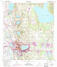
1952 Map of Lake Wales
USGS Topo · Published 1988About this map
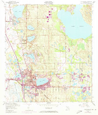
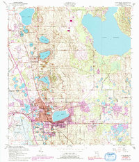
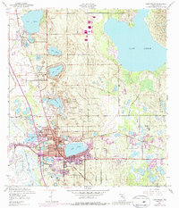
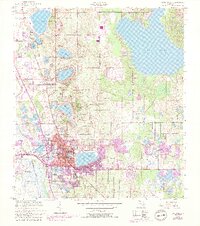
Iron Mountain dominates this portion of the Florida ridge, rising above a landscape defined by dozens of freshwater basins and the growing town of Lake Wales. Recorded just after the mid-century and revised in the 1980s, the map highlights the intricate relationship between the region's topography and its early 20th-century development. The landmark Bok Tower and nearby Mountain Lake Sta anchor a district of private estates and groves, while the town center concentrates around Lake Wales and Lake Alta. Civil infrastructure such as the Lake Wales Municipal Airport and the Seaboard Coast Line railroad suggest the area's role as a transportation hub for the citrus industry and tourism. Smaller settlements like Waverly and North Lake Wales appear alongside educational landmarks including Polk Ave Sch and Roosevelt Sch.
Find a feature on this map
39 named features on this map. Tap any name to fly to it.
Don’t see what you’re looking for? This feature index may not catch every label — zoom into the map to look around manually.
Map Details
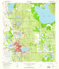
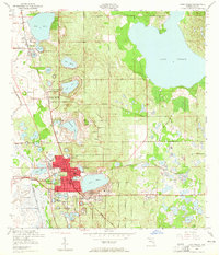
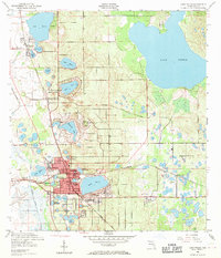
Editions of this 1952 Lake Wales Map
9 editions found
Other maps of this area

1952 · Lake Wales
USGS Topo · 1:24,000

1952 · Babson Park
USGS Topo · 1:24,000

1952 · Hesperides
USGS Topo · 1:24,000

1952 · Lake Weohyakapka
USGS Topo · 1:24,000

1953 · Dundee
USGS Topo · 1:24,000

1953 · Lake Hatchineha
USGS Topo · 1:24,000

1955 · Eloise
USGS Topo · 1:24,000

1955 · Alturas
USGS Topo · 1:24,000

1955 · Orlando
USGS Topo · 1:250,000

1956 · Fort Pierce
USGS Topo · 1:250,000