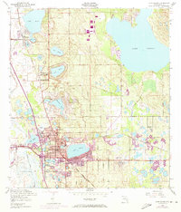
1952 Map of Lake Wales
USGS Topo · Published 1973About this map
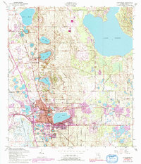
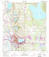
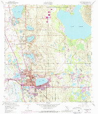
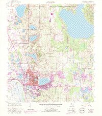
Iron Mountain dominates the central topography of this 1952 survey, rising above the citrus groves and lakeside settlements of Polk County. The landscape is defined by its numerous named water bodies, from the large Lake Pierce in the northeast to the urban cluster around Lake Wales. In the center of the map, the Bok Tower landmark sits atop the ridge, a focal point for the surrounding community. This edition includes purple revisions from 1972, which illustrate the expansion of the urban footprint in North Lake Wales and southward toward Lake Serena. Transportation is anchored by the Seaboard Coast Line railroad and the Municipal Airport, while local life is centered around institutions like Polk Ave Sch and Refuge Ch. The map provides a look at the transition from early 20th-century citrus agriculture to post-war residential growth.
Find a feature on this map
35 named features on this map. Tap any name to fly to it.
Don’t see what you’re looking for? This feature index may not catch every label — zoom into the map to look around manually.
Map Details
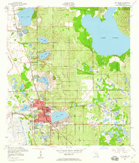
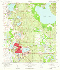
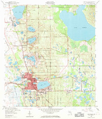
Editions of this 1952 Lake Wales Map
9 editions found
Other maps of this area

1952 · Lake Wales
USGS Topo · 1:24,000

1952 · Babson Park
USGS Topo · 1:24,000

1952 · Hesperides
USGS Topo · 1:24,000

1952 · Lake Weohyakapka
USGS Topo · 1:24,000

1953 · Dundee
USGS Topo · 1:24,000

1953 · Lake Hatchineha
USGS Topo · 1:24,000

1955 · Eloise
USGS Topo · 1:24,000

1955 · Alturas
USGS Topo · 1:24,000

1955 · Orlando
USGS Topo · 1:250,000

1956 · Fort Pierce
USGS Topo · 1:250,000