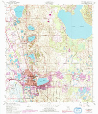
1952 Map of Lake Wales
USGS Topo · Published 1987About this map
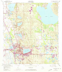
Lake Wales serves as the focal point of this Central Florida landscape, situated within a dense network of citrus groves and glacial lakes. The town's mid-century expansion is visible through its residential street grid and the presence of essential community institutions like Roosevelt Sch and the Polk Ave Sch. To the north, Iron Mountain rises above the surrounding terrain, overlooking the sprawling waters of Lake Pierce. The area's logistical connections are well-defined, with the Seaboard Coast Line railroad and the Lake Wales Municipal Airport supporting the local economy.
Find a feature on this map
37 named features on this map. Tap any name to fly to it.
Don’t see what you’re looking for? This feature index may not catch every label — zoom into the map to look around manually.
Map Details
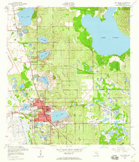
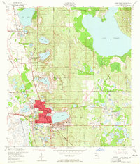
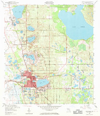
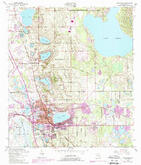
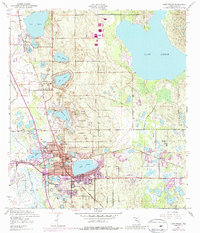
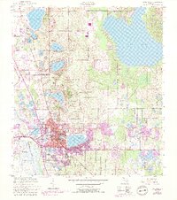
Editions of this 1952 Lake Wales Map
9 editions found
Other maps of this area

1952 · Lake Wales
USGS Topo · 1:24,000

1952 · Babson Park
USGS Topo · 1:24,000

1952 · Hesperides
USGS Topo · 1:24,000

1952 · Lake Weohyakapka
USGS Topo · 1:24,000

1953 · Dundee
USGS Topo · 1:24,000

1953 · Lake Hatchineha
USGS Topo · 1:24,000

1955 · Eloise
USGS Topo · 1:24,000

1955 · Alturas
USGS Topo · 1:24,000

1955 · Orlando
USGS Topo · 1:250,000

1956 · Fort Pierce
USGS Topo · 1:250,000