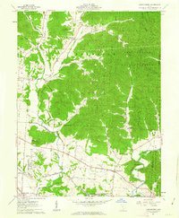
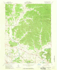
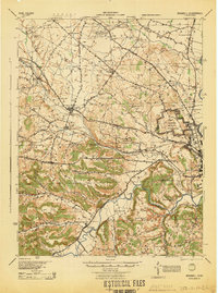
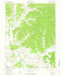
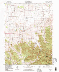
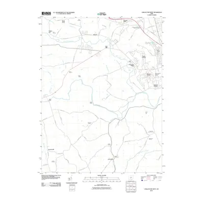
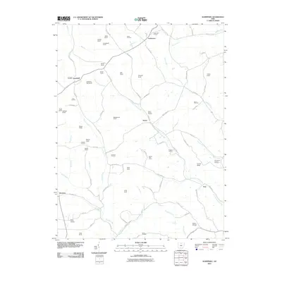
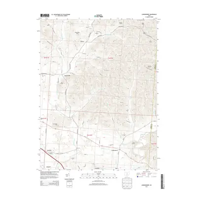
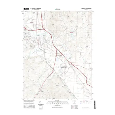
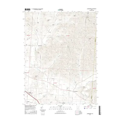
1961 Map of Londonderry
USGS Topo · Published 1963About this map
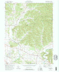
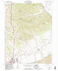
Londonderry serves as a central hub in this corner of Ross County, situated at a junction near the broad valley of Salt Creek. The landscape transitions from the flatlands around Vigo and Lickskillet into the dense woodlands of Tarr Hollow State Forest and the Wayne National Forest. Transportation and industry are defined by the Baltimore and Ohio Railroad, which skirts the southern hills, and a local Gravel Pit near Schooley.
Find a feature on this map
60 named features on this map. Tap any name to fly to it.
Don’t see what you’re looking for? This feature index may not catch every label — zoom into the map to look around manually.
Map Details
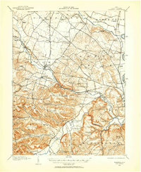
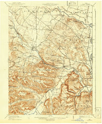
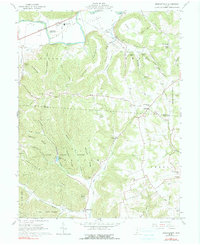
Editions of this 1961 Londonderry Map
3 editions found
Historical Maps of Mooresville Through Time
48 maps found
1912 Roxabell
Ross County, OH
1914 Roxabell
Ross County, OH
1944 Roxabell
Ross County, OH
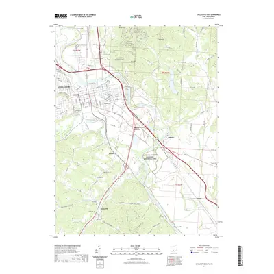
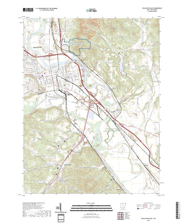
1961 Chillicothe East
Ross County, OH
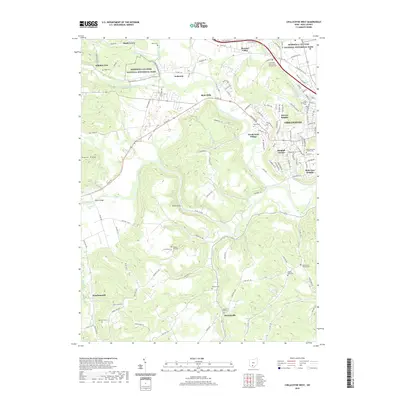
1961 Chillicothe West
Ross County, OH
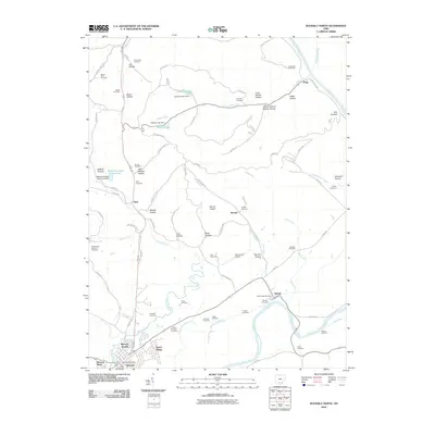
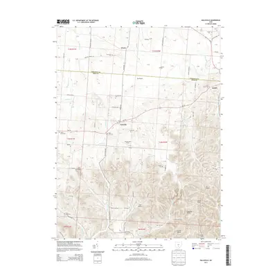
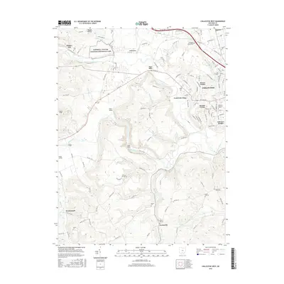
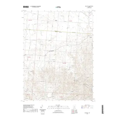
1961 Hallsville
Ross County, OH
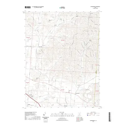
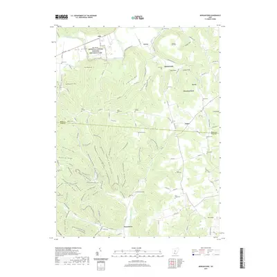
1961 Londonderry
Ross County, OH
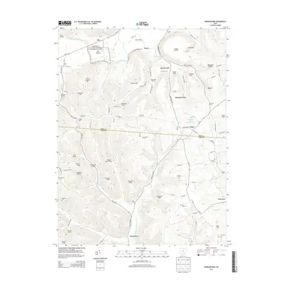
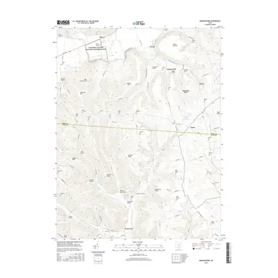
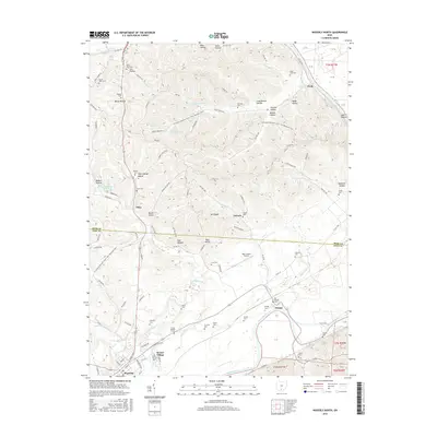
1961 Morgantown
Ross County, OH
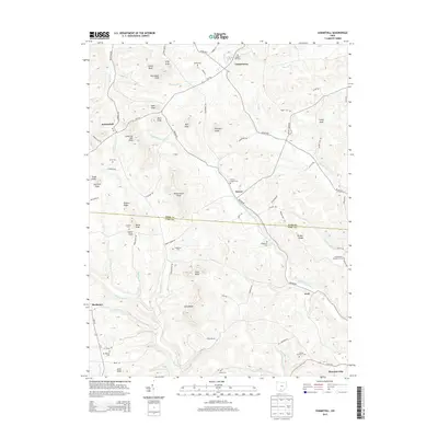
1961 Summithill
Ross County, OH
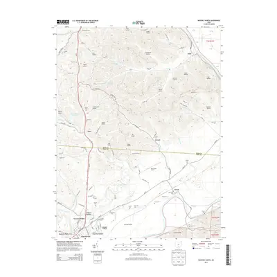
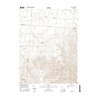
1961 Waverly North
Ross County, OH
1992 Hallsville
Ross County, OH
1992 Londonderry
Ross County, OH
1992 Waverly North
Ross County, OH
2010 Chillicothe East
Ross County, OH
2010 Chillicothe West
Ross County, OH
2010 Hallsville
Ross County, OH
2010 Londonderry
Ross County, OH
2010 Morgantown
Ross County, OH
2010 Summithill
Ross County, OH
2010 Waverly North
Ross County, OH
2013 Chillicothe East
Ross County, OH
2013 Chillicothe West
Ross County, OH
2013 Hallsville
Ross County, OH
2013 Londonderry
Ross County, OH
2013 Morgantown
Ross County, OH
2013 Summithill
Ross County, OH
2013 Waverly North
Ross County, OH
2016 Chillicothe East
Ross County, OH
2016 Chillicothe West
Ross County, OH
2016 Hallsville
Ross County, OH
2016 Londonderry
Ross County, OH
2016 Morgantown
Ross County, OH
2016 Summithill
Ross County, OH
2016 Waverly North
Ross County, OH
2019 Chillicothe East
Ross County, OH
2019 Chillicothe West
Ross County, OH
2019 Hallsville
Ross County, OH
2019 Londonderry
Ross County, OH
2019 Morgantown
Ross County, OH
2019 Summithill
Ross County, OH
2019 Waverly North
Ross County, OH
2023 Chillicothe East
Ross County, OH
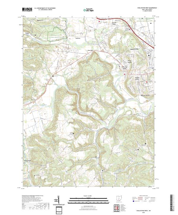
2023 Chillicothe West
Ross County, OH
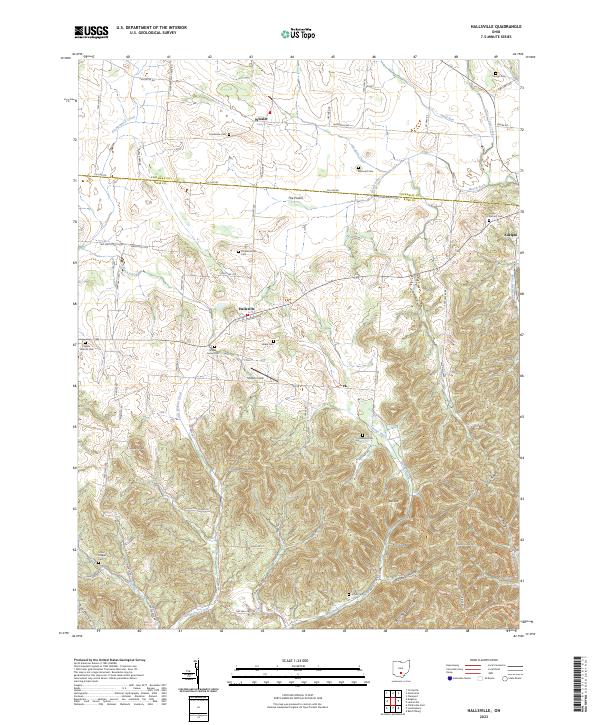
2023 Hallsville
Ross County, OH
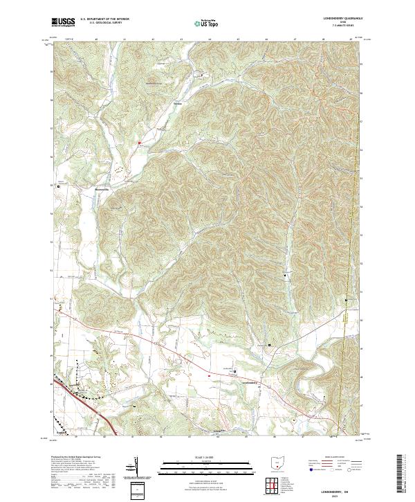
2023 Londonderry
Ross County, OH
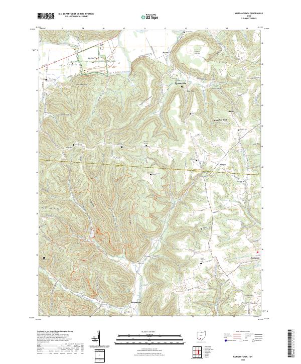
2023 Morgantown
Ross County, OH
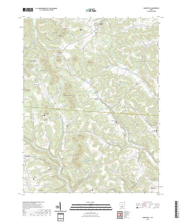
2023 Summithill
Ross County, OH
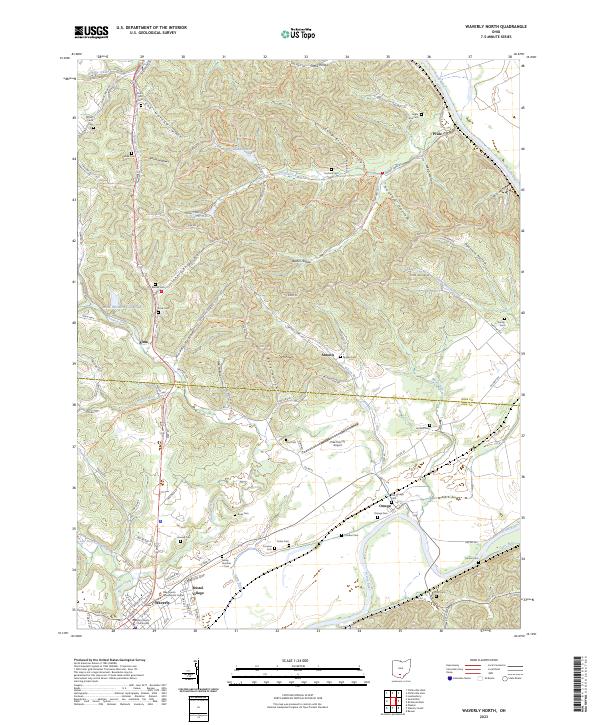
2023 Waverly North
Ross County, OH