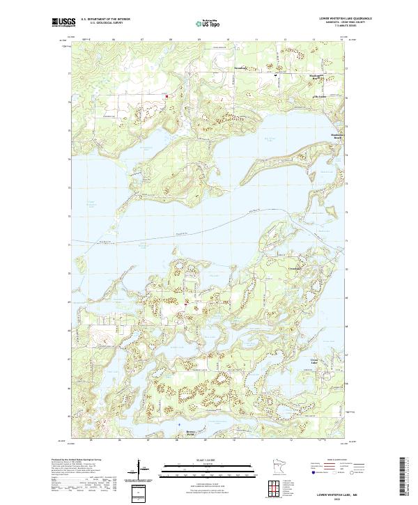
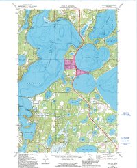
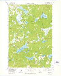
2022 Map of Lower Whitefish Lake
USGS Topo · Published 2022About this map
Upper Whitefish Lake and Lower Whitefish Lake dominate this Crow Wing County landscape, showcasing a complex network of glacial lakes and channels that have shaped local settlement. This 2022 survey captures the residential development around Crosslake and Manhattan Beach, where many roads such as W Arrowhead Dr and Whitefish Ave trace the irregular shorelines. The map provides a clear look at the northern reaches near Swanburg and Fifty Lakes, illustrating how the modern road network, including Co Rd 1 and Old Grade Rd, connects these waterside communities. Genealogists can find the Swanburg Cem in the north, while those interested in local geography can trace the Pine River Trl as it winds through the interior. Smaller water bodies like Hooligans Hole, Pecks Puddle, and Dewdrop Lake dot the landscape between larger basins, reflecting the area's intricate hydrology.
Find a feature on this map
135 named features on this map. Tap any name to fly to it.
Don’t see what you’re looking for? This feature index may not catch every label — zoom into the map to look around manually.
Map Details
Editions of this 2022 Lower Whitefish Lake Map
This is the sole edition of this map. No revisions or reprints were ever made.
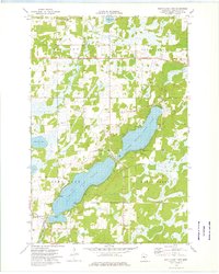
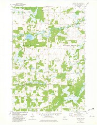
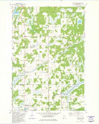
Historical Maps of Swanburg Through Time
24 maps found
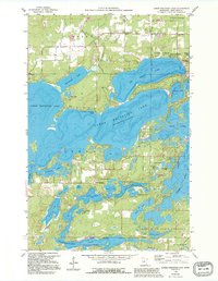
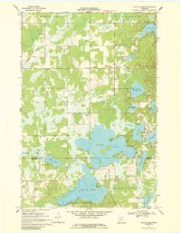
1959 Lower Whitefish Lake
Crow Wing County, MN
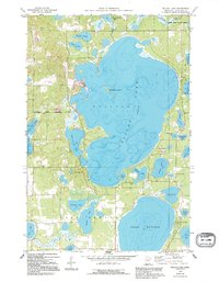
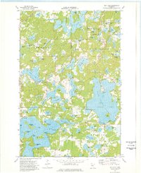
1959 Pelican Lake
Crow Wing County, MN
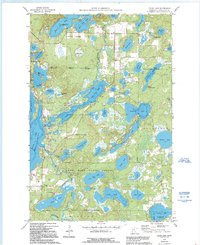
1960 Cross Lake
Crow Wing County, MN
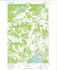
1968 Platte Lake
Crow Wing County, MN
1973 Bay Lake
Crow Wing County, MN

1973 Grave Lake
Crow Wing County, MN
1973 Gull Lake
Crow Wing County, MN
1973 Iron Hub
Crow Wing County, MN
1973 Ross Lake
Crow Wing County, MN
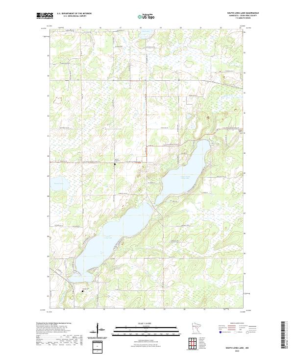
1973 South Long Lake
Crow Wing County, MN
1981 Lastrup NW
Crow Wing County, MN
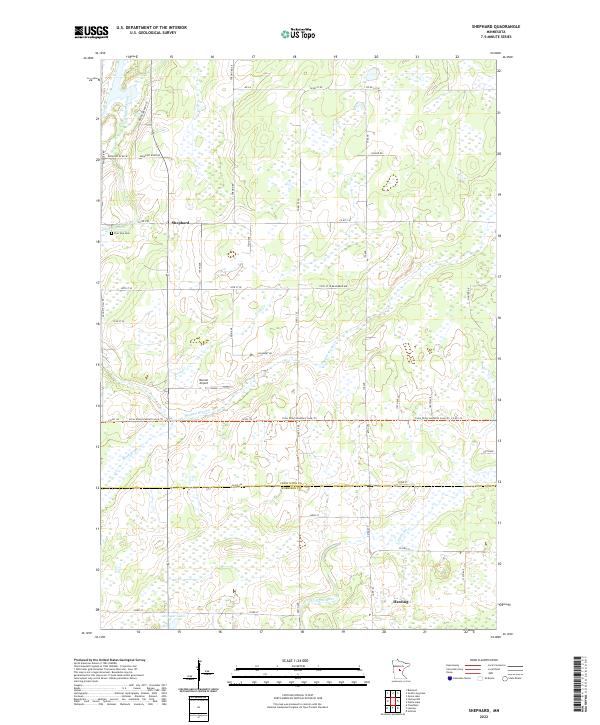
1981 Shephard
Crow Wing County, MN
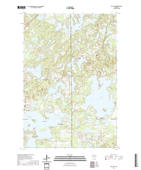
2022 Bay Lake
Crow Wing County, MN
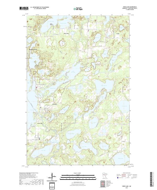
2022 Cross Lake
Crow Wing County, MN
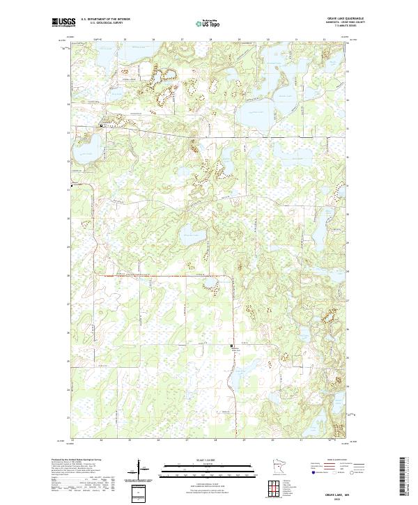
2022 Grave Lake
Crow Wing County, MN
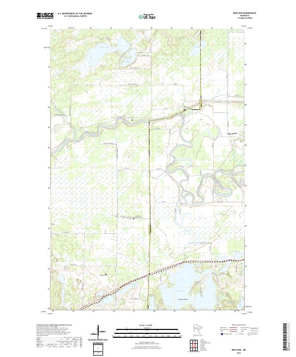
2022 Iron Hub
Crow Wing County, MN
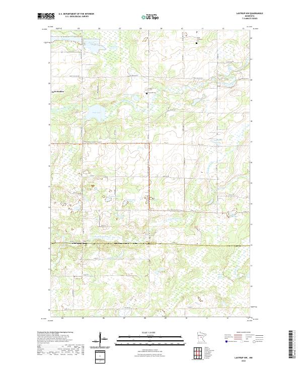
2022 Lastrup NW
Crow Wing County, MN
2022 Lower Whitefish Lake
Crow Wing County, MN
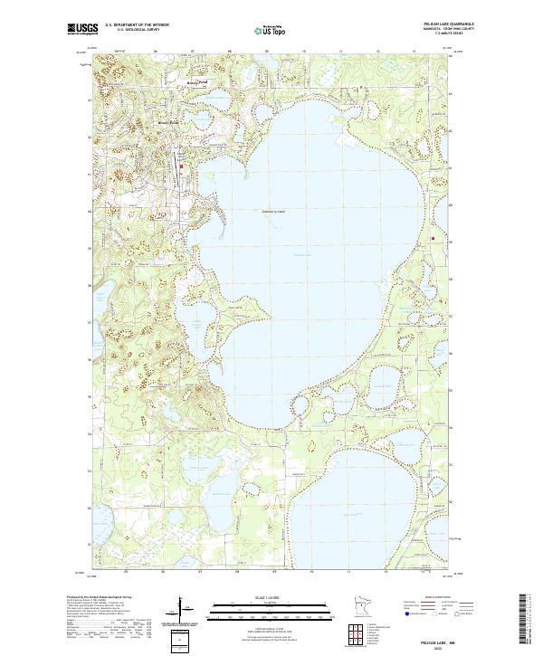
2022 Pelican Lake
Crow Wing County, MN
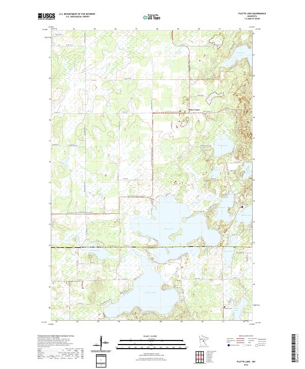
2022 Platte Lake
Crow Wing County, MN
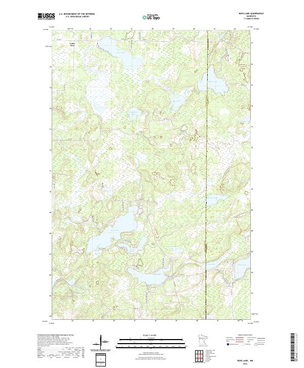
2022 Ross Lake
Crow Wing County, MN
2022 Shephard
Crow Wing County, MN
2022 South Long Lake
Crow Wing County, MN
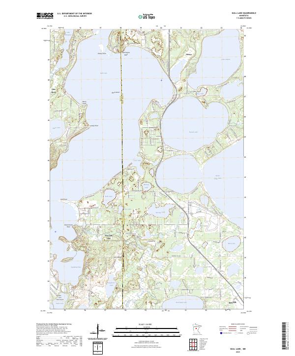
2023 Gull Lake
Crow Wing County, MN