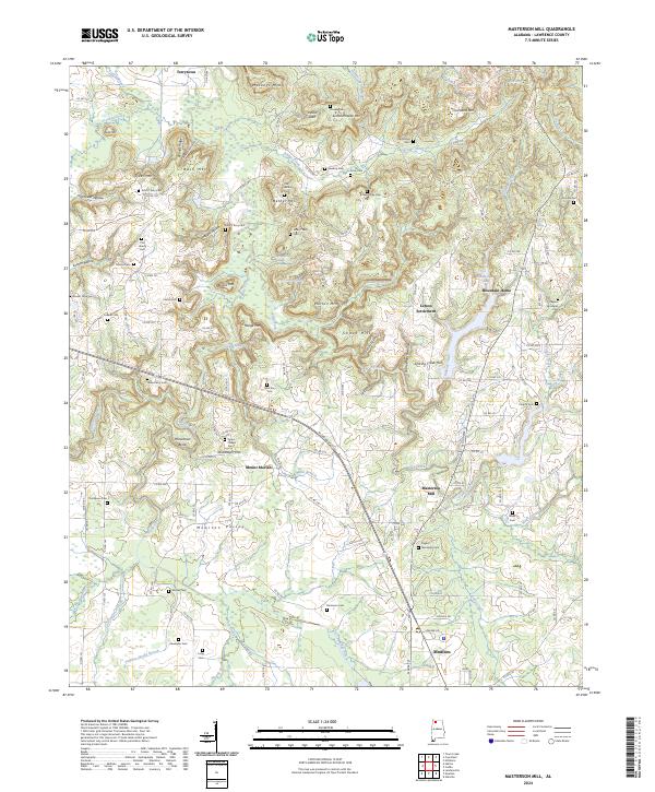
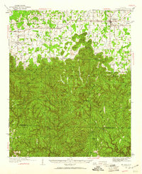
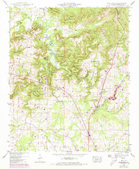
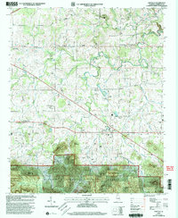
2024 Map of Masterson Mill
USGS Topo · Published 2024About this map
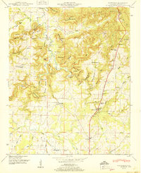
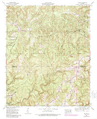
Masterson Mill stands as a focal point in this portion of Lawrence County, where the terrain of the Moulton Valley meets a series of prominent ridges and hollows. The landscape is defined by the headwaters of Big Nance Creek and Turkey Creek, creating a complex network of drainages such as Sinking Creek and Cane Creek. Family-named landmarks are exceptionally dense here, reflecting generations of residency in clusters like Terrytown and the Letson Settlement.
Find a feature on this map
155 named features on this map. Tap any name to fly to it.
Don’t see what you’re looking for? This feature index may not catch every label — zoom into the map to look around manually.
Map Details
Editions of this 2024 Masterson Mill Map
This is the sole edition of this map. No revisions or reprints were ever made.
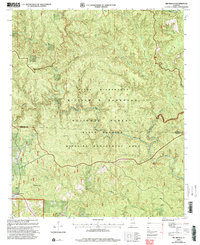
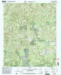
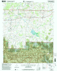
Historical Maps of Mount Moriah Through Time
30 maps found
1935 Danville
Lawrence County, AL
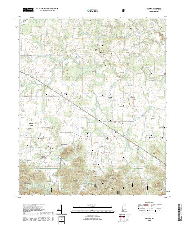
1935 Oakville
Lawrence County, AL
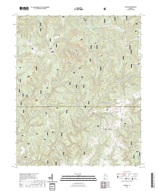
1935 Upshaw
Lawrence County, AL
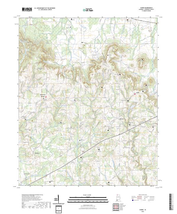
1936 Caddo
Lawrence County, AL
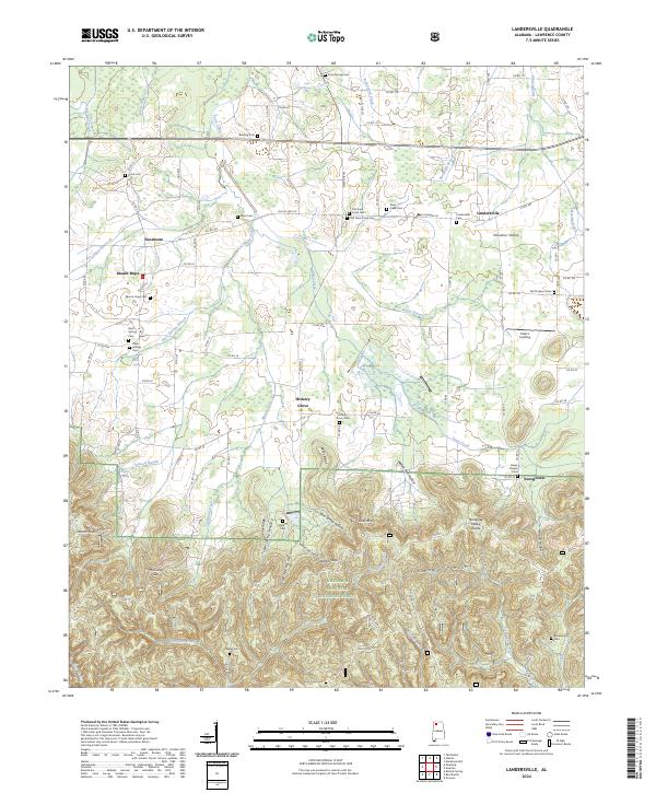
1936 Landersville
Lawrence County, AL
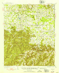
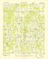
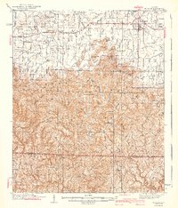
1936 Masterson
Lawrence County, AL
1936 Mt Hope
Lawrence County, AL

1938 Danville
Lawrence County, AL
1940 Mt Hope
Lawrence County, AL
1948 Caddo
Lawrence County, AL
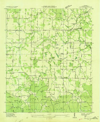
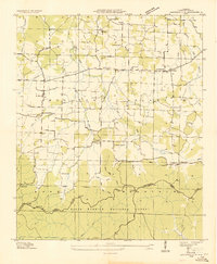
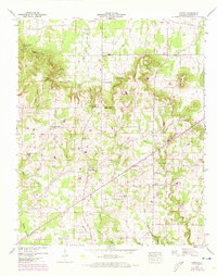
1948 Masterson
Lawrence County, AL
1950 Caddo
Lawrence County, AL
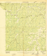
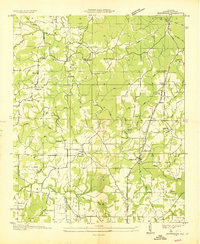
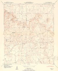
1951 Masterson
Lawrence County, AL

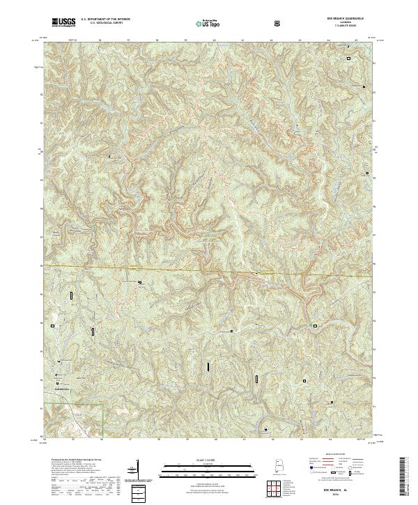
1960 Bee Branch
Lawrence County, AL
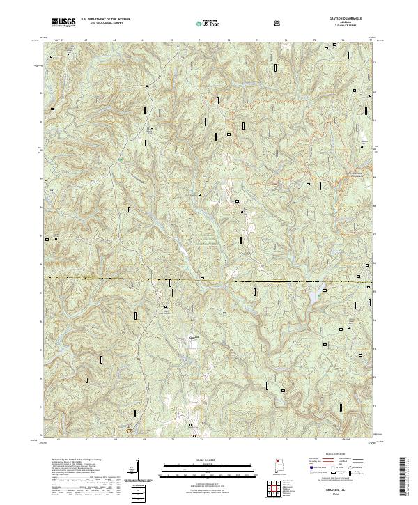
1960 Grayson
Lawrence County, AL
1960 Landersville
Lawrence County, AL
1960 Oakville
Lawrence County, AL
1960 Upshaw
Lawrence County, AL
2000 Bee Branch
Lawrence County, AL
2000 Grayson
Lawrence County, AL
2000 Landersville
Lawrence County, AL
2000 Oakville
Lawrence County, AL
2000 Upshaw
Lawrence County, AL
2024 Bee Branch
Lawrence County, AL
2024 Caddo
Lawrence County, AL
2024 Grayson
Lawrence County, AL
2024 Landersville
Lawrence County, AL
2024 Masterson Mill
Lawrence County, AL
2024 Oakville
Lawrence County, AL
2024 Upshaw
Lawrence County, AL