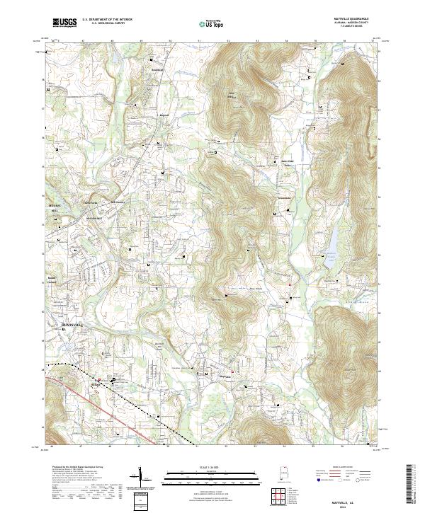
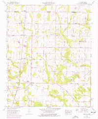
2024 Map of Maysville
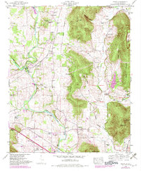
USGS Topo · Published 2024This historical map portrays the area of Maysville in 2024, primarily covering Madison County. Featuring a scale of 1:24000, this map provides a highly detailed snapshot of the terrain, roads, buildings, counties, and historical landmarks in the Maysville region at the time. Published in 2024, it is the sole known edition of this map.
Map Details
Editions of this 2024 Maysville Map
This is the sole edition of this map. No revisions or reprints were ever made.
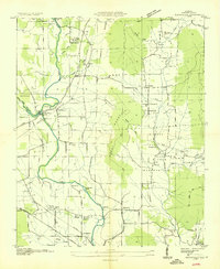
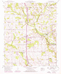
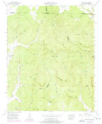
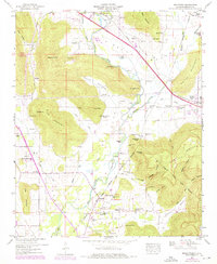
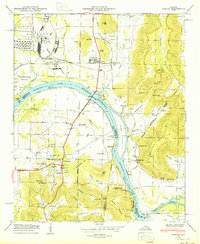
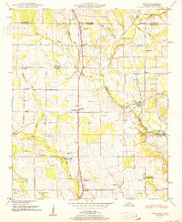
Historical Maps of Madison County Through Time
27 maps found

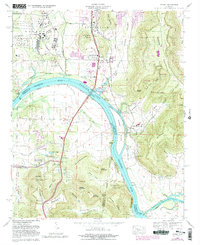
1936 Farley
Madison County, AL

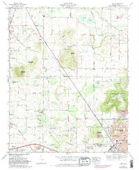
1936 Fisk
Madison County, AL

1936 Jeff
Madison County, AL

1936 King Cove
Madison County, AL
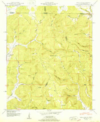
1936 Maysville
Madison County, AL

1936 Moontown
Madison County, AL

1936 Toney
Madison County, AL

1947 Farley
Madison County, AL
1948 Fisk
Madison County, AL
1948 King Cove
Madison County, AL
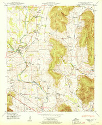
1948 Maysville
Madison County, AL
1948 Moontown
Madison County, AL
1950 Farley
Madison County, AL
1951 Fisk
Madison County, AL
1951 King Cove
Madison County, AL
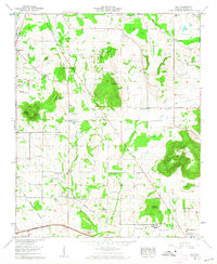
1951 Maysville
Madison County, AL
1958 Jeff
Madison County, AL
1958 Toney
Madison County, AL
1964 Farley
Madison County, AL
1967 Jeff
Madison County, AL
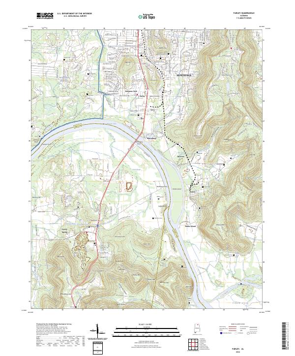
2024 Farley
Madison County, AL
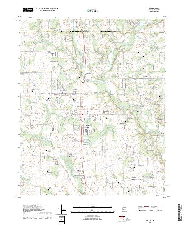
2024 Fisk
Madison County, AL
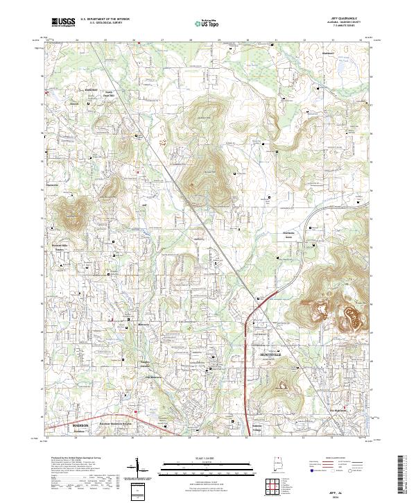
2024 Jeff
Madison County, AL
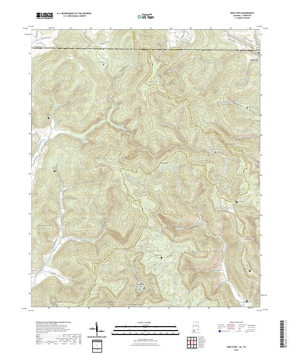
2024 King Cove
Madison County, AL
2024 Maysville
Madison County, AL
2024 Moontown
Madison County, AL
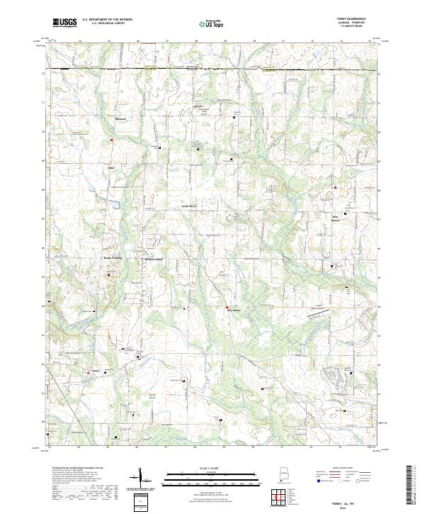
2024 Toney
Madison County, AL