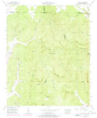
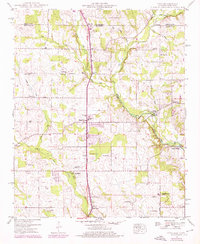
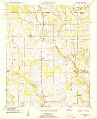
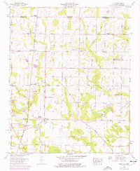
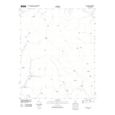
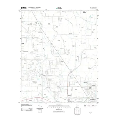
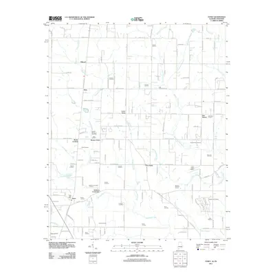
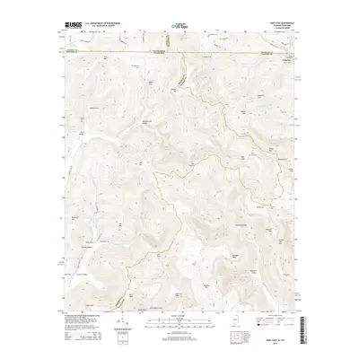
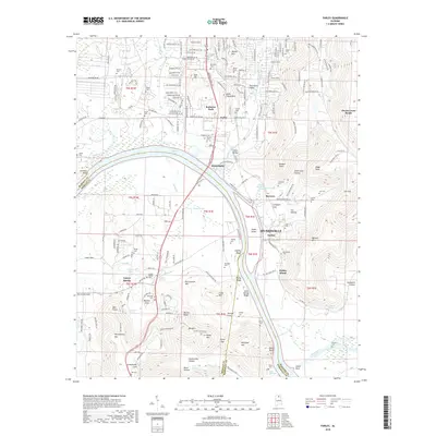
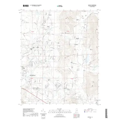
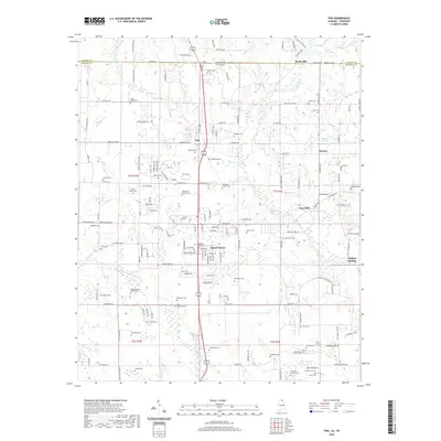
1948 Map of King Cove
USGS Topo · Published 1977About this map
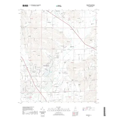
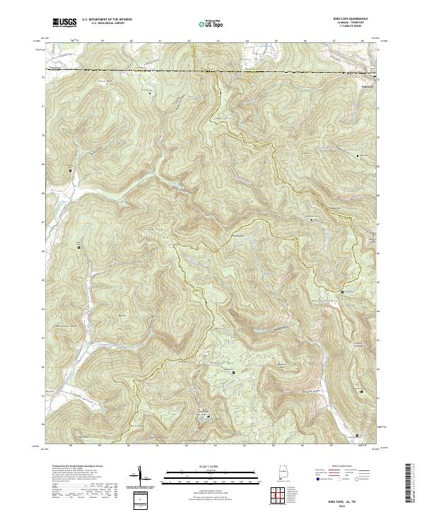
Hale Mountain and Putman Mountain dominate this corner of the Alabama and Tennessee border, where the steep terrain of the Cumberland Plateau creates deep, secluded coves. This 1948 survey, photorevised in 1975, reveals a landscape defined by traditional family-named landmarks and rural connectivity. Notable clusters of local history are found at Mountain Fork Church and the numerous small burial grounds like Beach Grove Cem and Crowell Cem, which anchor the area's genealogical history.
Find a feature on this map
57 named features on this map. Tap any name to fly to it.
Don’t see what you’re looking for? This feature index may not catch every label — zoom into the map to look around manually.
Map Details
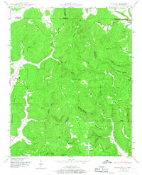
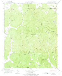
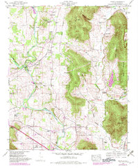
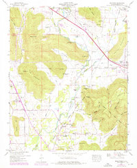
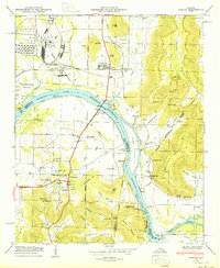
Editions of this 1948 King Cove Map
3 editions found
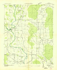
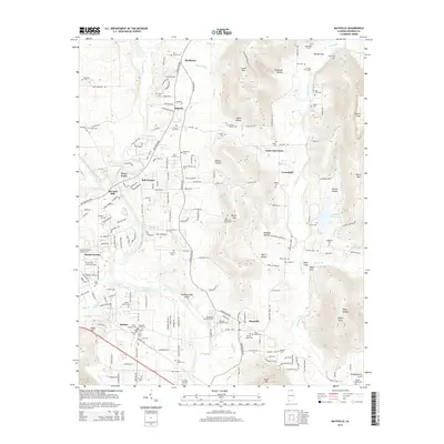
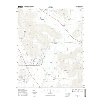
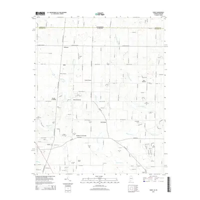
Historical Maps of Madison County Through Time
59 maps found

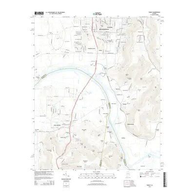
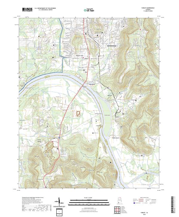
1936 Farley
Madison County, AL

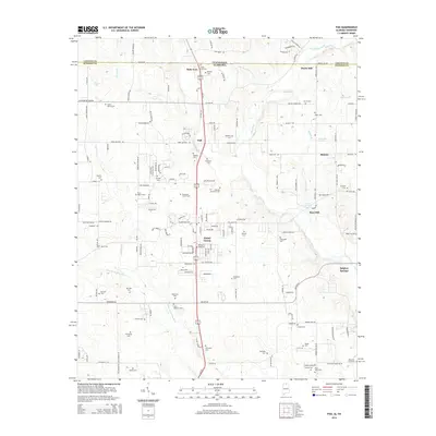
1936 Fisk
Madison County, AL

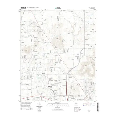
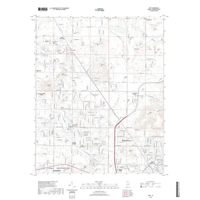
1936 Jeff
Madison County, AL

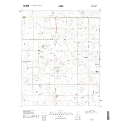
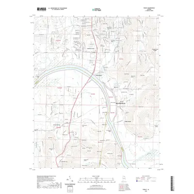
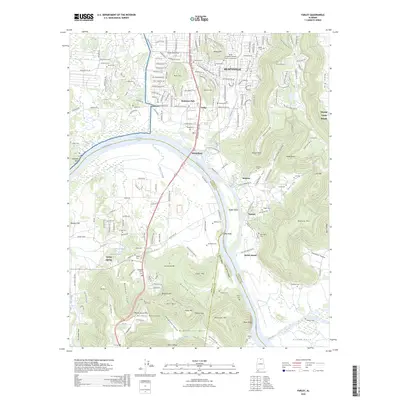
1936 King Cove
Madison County, AL
1936 Maysville
Madison County, AL

1936 Moontown
Madison County, AL

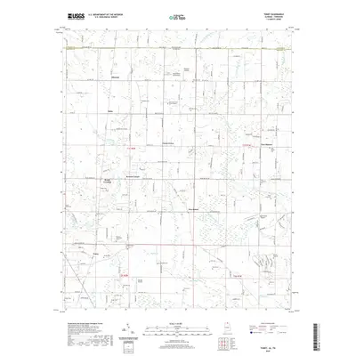
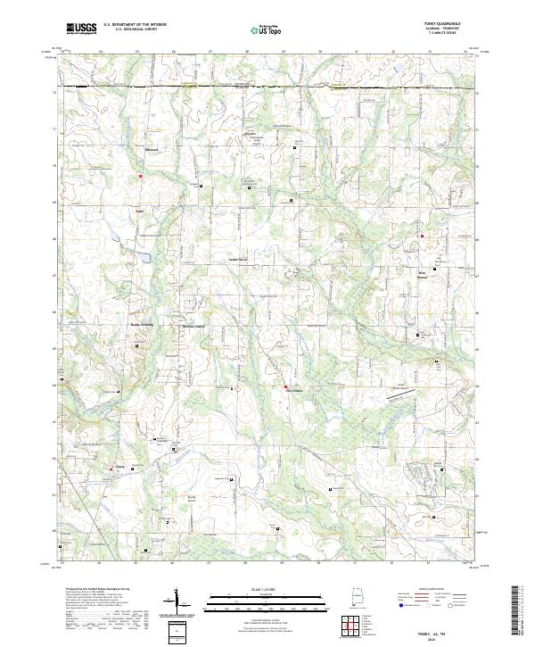
1936 Toney
Madison County, AL

1947 Farley
Madison County, AL
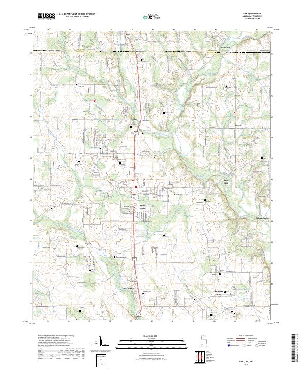
1948 Fisk
Madison County, AL
1948 King Cove
Madison County, AL
1948 Maysville
Madison County, AL
1948 Moontown
Madison County, AL
1950 Farley
Madison County, AL
1951 Fisk
Madison County, AL
1951 King Cove
Madison County, AL
1951 Maysville
Madison County, AL
1958 Jeff
Madison County, AL
1958 Toney
Madison County, AL
1964 Farley
Madison County, AL
1967 Jeff
Madison County, AL
2010 Fisk
Madison County, AL
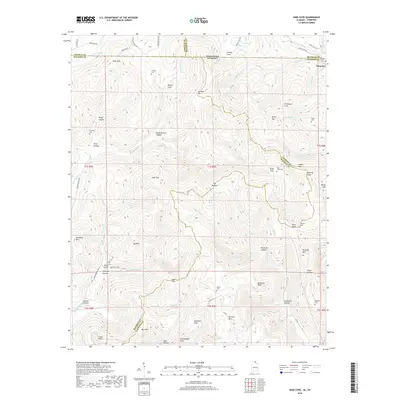
2010 King Cove
Madison County, AL
2010 Toney
Madison County, AL
2011 Farley
Madison County, AL
2011 Fisk
Madison County, AL
2011 Jeff
Madison County, AL
2011 King Cove
Madison County, AL
2011 Maysville
Madison County, AL
2011 Moontown
Madison County, AL
2011 Toney
Madison County, AL
2014 Farley
Madison County, AL
2014 Fisk
Madison County, AL
2014 Jeff
Madison County, AL
2014 King Cove
Madison County, AL
2014 Maysville
Madison County, AL
2014 Moontown
Madison County, AL
2014 Toney
Madison County, AL
2018 Farley
Madison County, AL
2018 Fisk
Madison County, AL
2018 Jeff
Madison County, AL
2018 King Cove
Madison County, AL
2018 Maysville
Madison County, AL
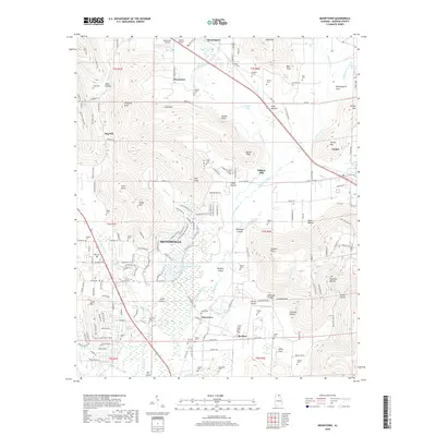
2018 Moontown
Madison County, AL
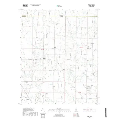
2018 Toney
Madison County, AL
2020 Farley
Madison County, AL
2020 Fisk
Madison County, AL
2020 Jeff
Madison County, AL
2020 King Cove
Madison County, AL
2020 Maysville
Madison County, AL
2020 Moontown
Madison County, AL
2020 Toney
Madison County, AL
2024 Farley
Madison County, AL
2024 Fisk
Madison County, AL
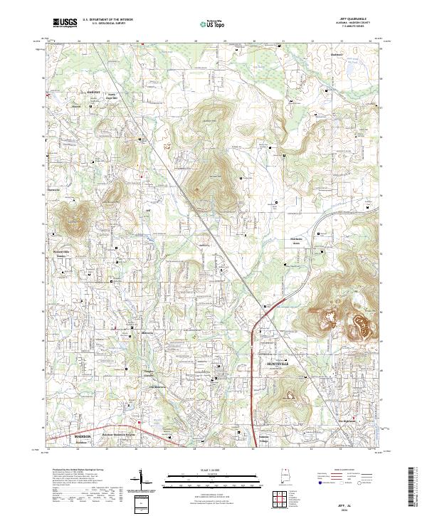
2024 Jeff
Madison County, AL
2024 King Cove
Madison County, AL
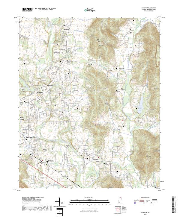
2024 Maysville
Madison County, AL
2024 Moontown
Madison County, AL
2024 Toney
Madison County, AL
2026 Farley
Madison County, AL