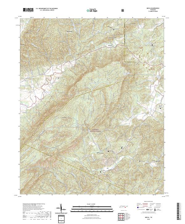
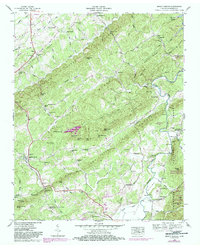
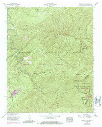
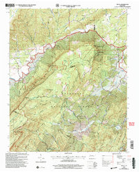
2022 Map of Mecca
USGS Topo · Published 2022About this map
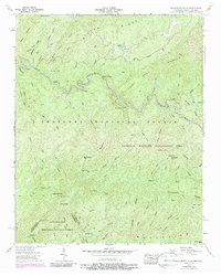
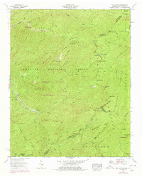
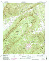
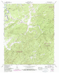
Starr Mtn and the ridges of the Cherokee National Forest dominate this landscape along the border of Monroe, McMinn, and Polk counties. This modern topographic study reveals a rural topography defined by deep hollows like Gordon Hollow and Beasley Hollow, where small settlements and family cemeteries are tucked between the peaks. The namesake community of Mecca sits at the junction of Mecca Pike, while other small centers like Macedonia and Prospect anchor the northern reaches.
Find a feature on this map
127 named features on this map. Tap any name to fly to it.
Don’t see what you’re looking for? This feature index may not catch every label — zoom into the map to look around manually.
Map Details
Editions of this 2022 Mecca Map
This is the sole edition of this map. No revisions or reprints were ever made.
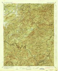
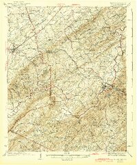
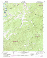
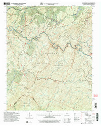
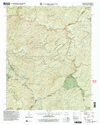
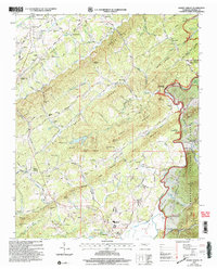
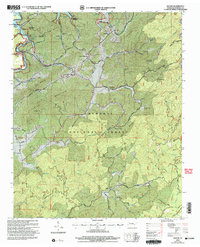
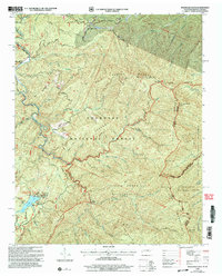
Historical Maps of Macedonia Through Time
29 maps found

1927 Big Junction
Monroe County, TN

1933 Bald River Falls
Monroe County, TN
1933 Haw Knob
Monroe County, TN
1933 Rafter
Monroe County, TN
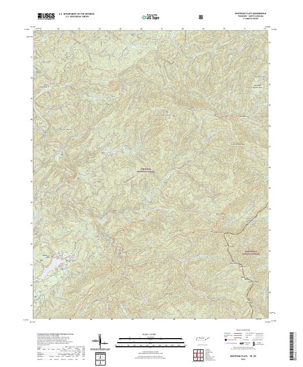
1933 Whiteoak Flats
Monroe County, TN

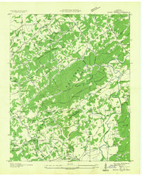
1934 Mecca
Monroe County, TN
1934 Mount Vernon
Monroe County, TN

1935 Tellico
Monroe County, TN
1937 Haw Knob
Monroe County, TN
1943 Tellico
Monroe County, TN
1946 Mount Vernon
Monroe County, TN
1957 Bald River Falls
Monroe County, TN
1957 Big Junction
Monroe County, TN
1957 Mecca
Monroe County, TN
1957 Rafter
Monroe County, TN
1957 Whiteoak Flats
Monroe County, TN
1984 Rafter
Monroe County, TN
2003 Bald River Falls
Monroe County, TN
2003 Big Junction
Monroe County, TN
2003 Mecca
Monroe County, TN
2003 Mount Vernon
Monroe County, TN
2003 Rafter
Monroe County, TN
2003 Whiteoak Flats
Monroe County, TN
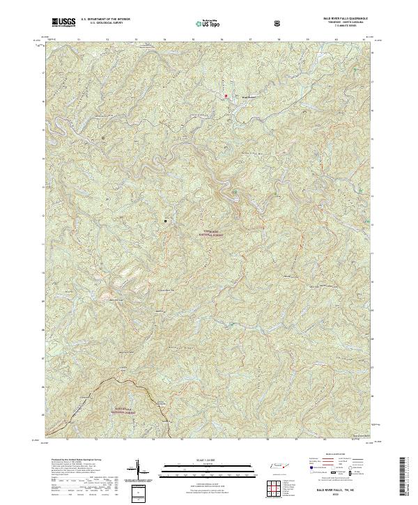
2022 Bald River Falls
Monroe County, TN
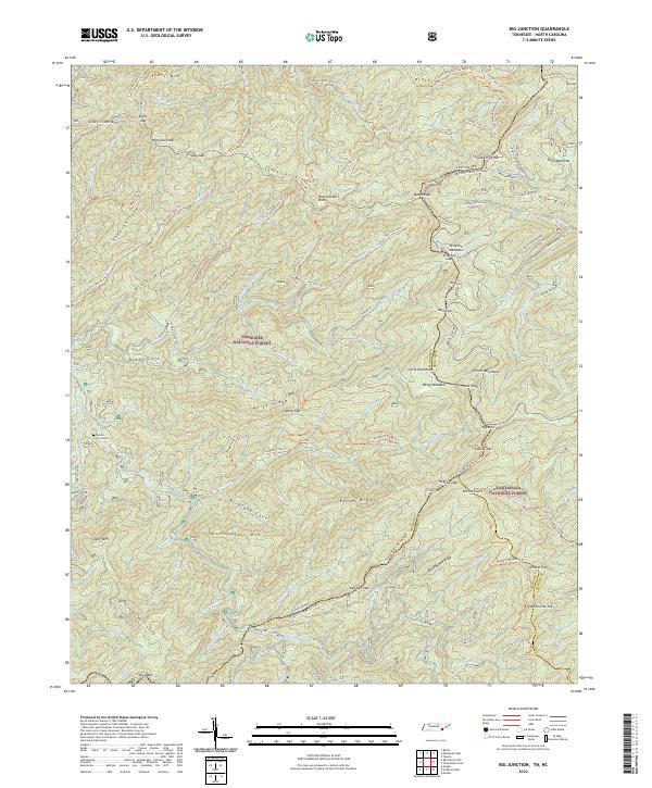
2022 Big Junction
Monroe County, TN
2022 Mecca
Monroe County, TN
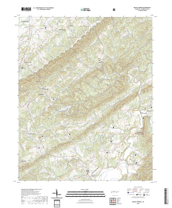
2022 Mount Vernon
Monroe County, TN
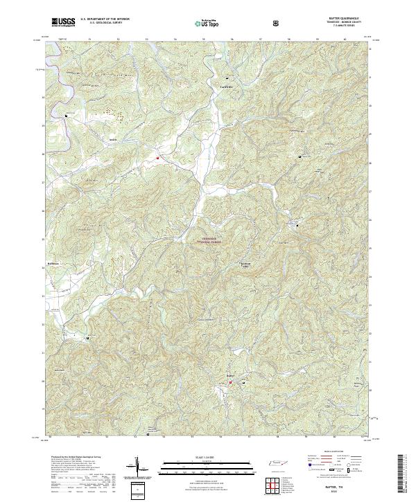
2022 Rafter
Monroe County, TN
2022 Whiteoak Flats
Monroe County, TN