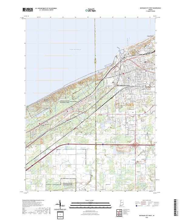
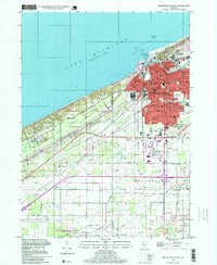
2022 Map of Michigan City West
USGS Topo · Published 2022About this map
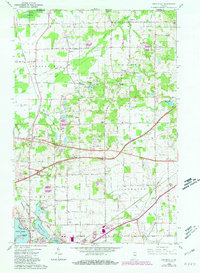
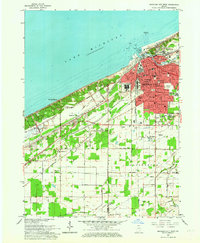
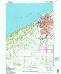
Indiana Dunes National Park dominates the Lake Michigan shoreline, preserving a complex environment of sand and marshland that contrasts with the urban grid of Michigan City. This survey illustrates the intricate drainage network of the Calumet region, where Carver Ditch, Kintzele Ditch, and Brown Ditch channel water through low-lying areas south of the shoreline dunes. The shoreline itself is anchored by the prominent Mt Baldy, situated between the residential developments of Long Beach and the protected parklands.
Find a feature on this map
54 named features on this map. Tap any name to fly to it.
Don’t see what you’re looking for? This feature index may not catch every label — zoom into the map to look around manually.
Map Details
Editions of this 2022 Michigan City West Map
This is the sole edition of this map. No revisions or reprints were ever made.
Historical Maps of Michigan City Through Time
22 maps found
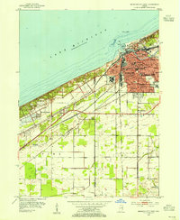
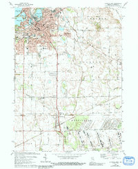
1953 Michigan City West
LaPorte County, IN
1958 La Porte East
LaPorte County, IN
1958 Michigan City East
LaPorte County, IN
1958 Springville
LaPorte County, IN
1958 Stillwell
LaPorte County, IN
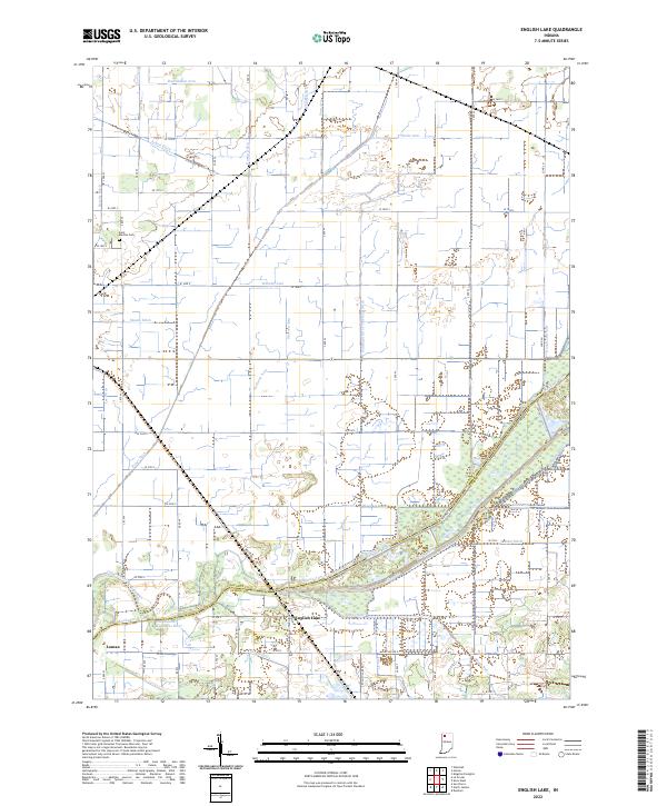
1959 English Lake
LaPorte County, IN
1961 La Porte West
LaPorte County, IN
1962 Michigan City West
LaPorte County, IN
1969 La Porte West
LaPorte County, IN
1969 Michigan City East
LaPorte County, IN
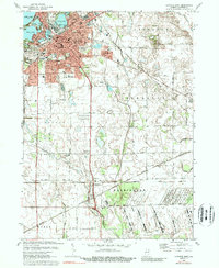
1969 Michigan City West
LaPorte County, IN
1974 La Porte East
LaPorte County, IN
1974 Stillwell
LaPorte County, IN
1977 La Porte East
LaPorte County, IN
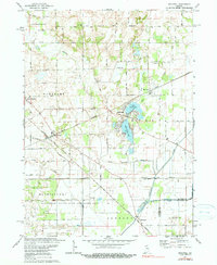
1994 Michigan City West
LaPorte County, IN
2022 English Lake
LaPorte County, IN
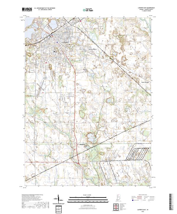
2022 LaPorte East
LaPorte County, IN
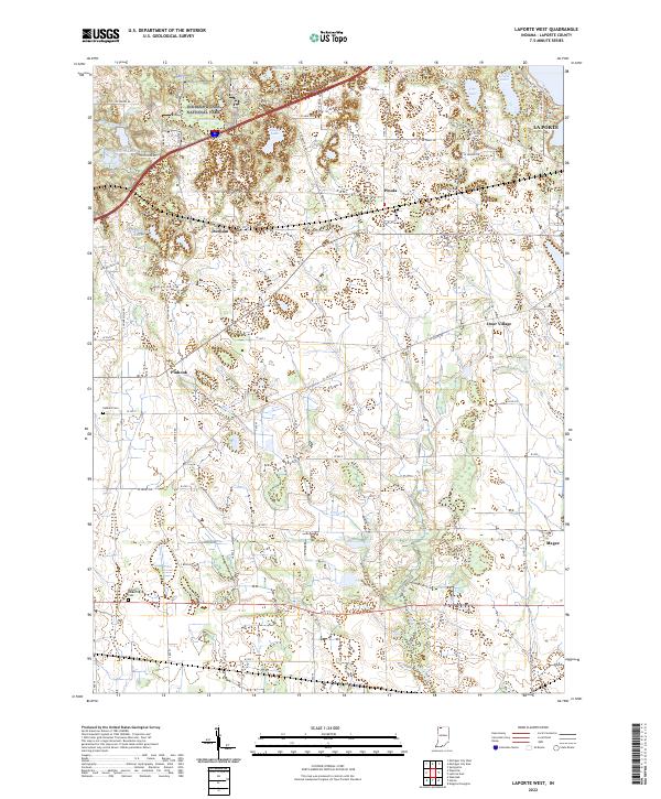
2022 LaPorte West
LaPorte County, IN
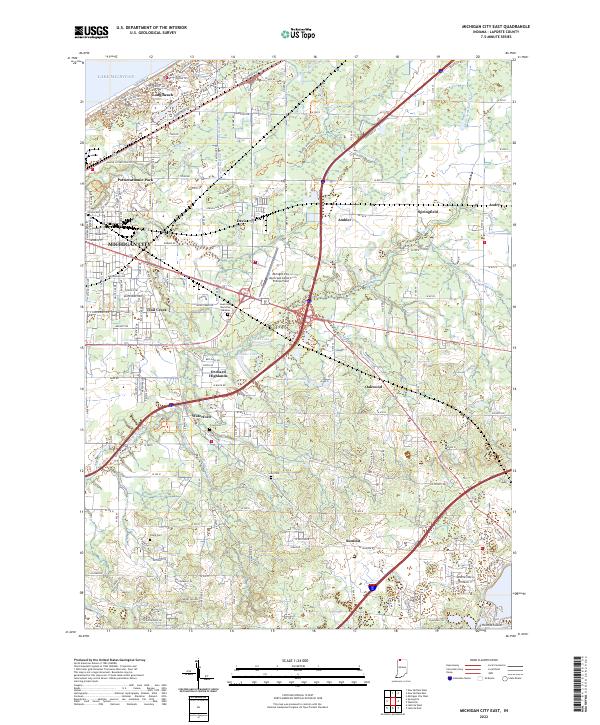
2022 Michigan City East
LaPorte County, IN
2022 Michigan City West
LaPorte County, IN
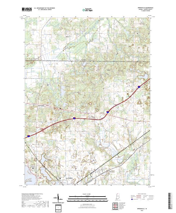
2022 Springville
LaPorte County, IN
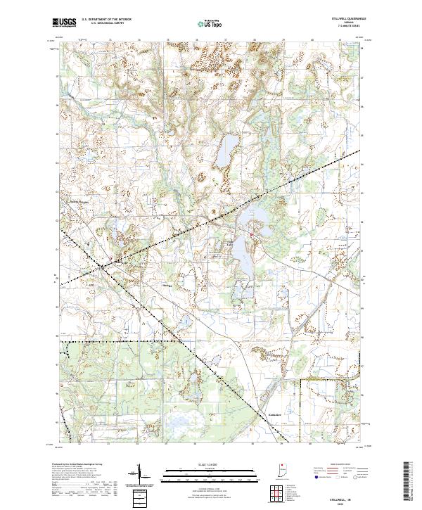
2022 Stillwell
LaPorte County, IN