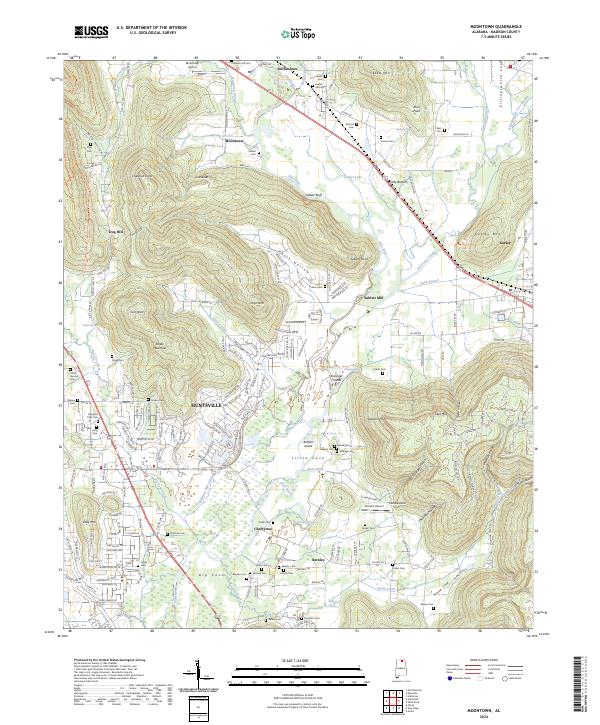
2024 Map of Moontown
USGS Topo · Published 2024About this map
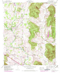
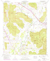
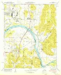
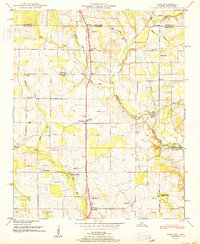
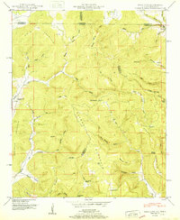
The Flint River carves a central path through this Madison County landscape, where the valley floor is punctuated by prominent elevations like Keel Mtn and Drake Mountain. This survey captures the rural-to-suburban character of the area east of Huntsville, showing a network of historic settlements including Brownsboro, Berkley, and the curiously named Lickskillet. Family history is deeply rooted here, evidenced by numerous small burial grounds such as Crowson Hill Cem, Vinson Cem, and Hampton Cove Cem.
Find a feature on this map
200 named features on this map. Tap any name to fly to it.
Don’t see what you’re looking for? This feature index may not catch every label — zoom into the map to look around manually.
Map Details
Editions of this 2024 Moontown Map
This is the sole edition of this map. No revisions or reprints were ever made.
Historical Maps of Berkley Through Time
27 maps found

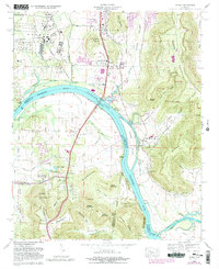
1936 Farley
Madison County, AL

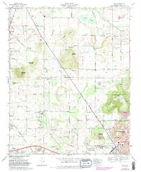
1936 Fisk
Madison County, AL

1936 Jeff
Madison County, AL

1936 King Cove
Madison County, AL
1936 Maysville
Madison County, AL

1936 Moontown
Madison County, AL

1936 Toney
Madison County, AL

1947 Farley
Madison County, AL
1948 Fisk
Madison County, AL
1948 King Cove
Madison County, AL
1948 Maysville
Madison County, AL
1948 Moontown
Madison County, AL
1950 Farley
Madison County, AL
1951 Fisk
Madison County, AL
1951 King Cove
Madison County, AL
1951 Maysville
Madison County, AL
1958 Jeff
Madison County, AL
1958 Toney
Madison County, AL
1964 Farley
Madison County, AL
1967 Jeff
Madison County, AL
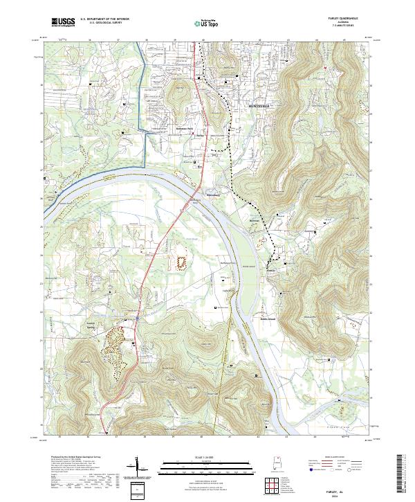
2024 Farley
Madison County, AL
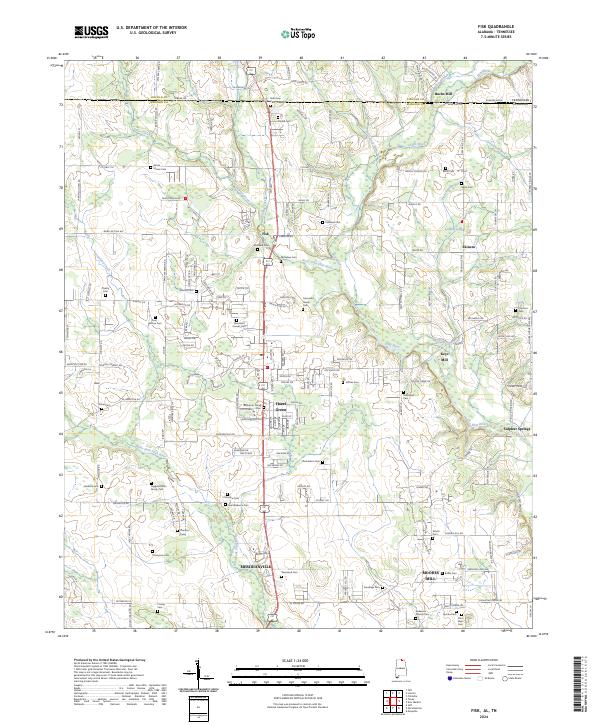
2024 Fisk
Madison County, AL
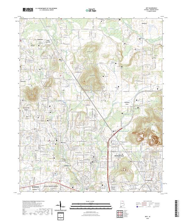
2024 Jeff
Madison County, AL
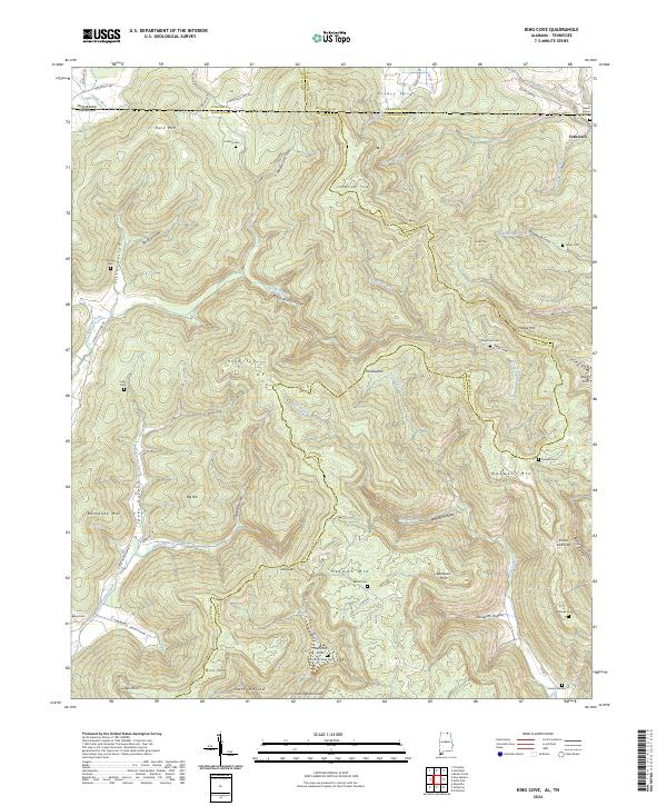
2024 King Cove
Madison County, AL
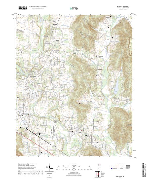
2024 Maysville
Madison County, AL
2024 Moontown
Madison County, AL
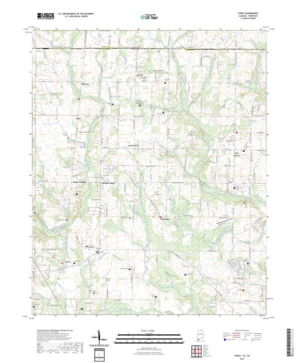
2024 Toney
Madison County, AL