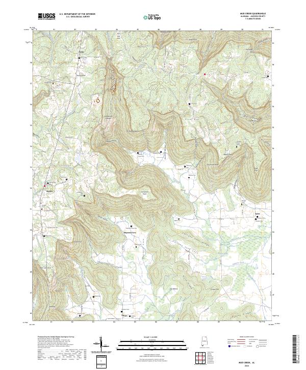
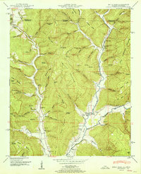
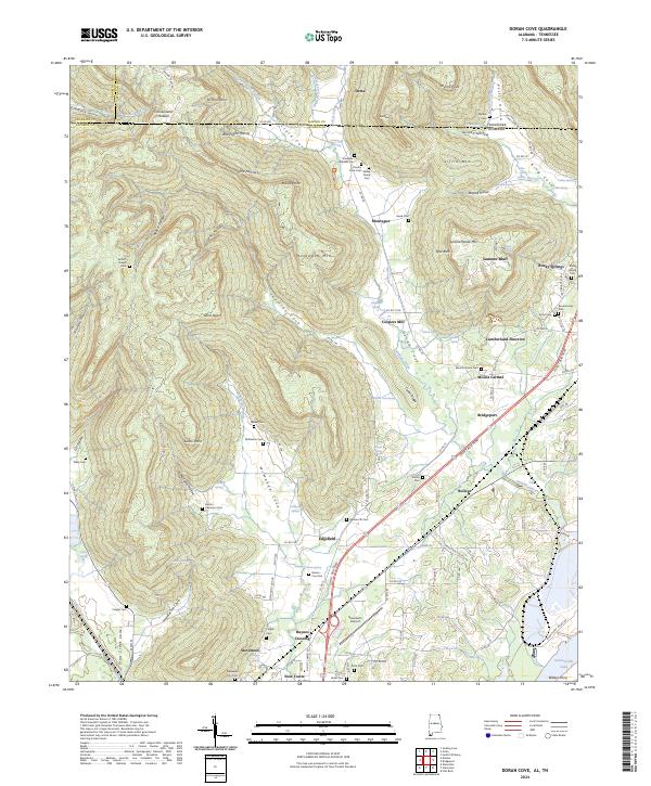
2024 Map of Mud Creek
USGS Topo · Published 2024About this map
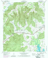
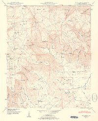
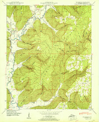
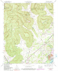
Cumberland Plateau topography defines this portion of Jackson County, where high ridges like Crow Mtn drop sharply into secluded valleys. The landscape is characterized by its numerous coves and hollows, including the wide Maynard Cove and the intricate drainage of Mud Creek. Settlement patterns follow these natural corridors, with clusters of activity near Skyline and Hytop. The map is particularly notable for its high density of family and community burial grounds, such as Blowing Caves Cem, Clemens Stines Cem, and Cornelison-Taft Cem, which are often situated on higher ground or at the edges of plateaus. These locations, along with landmarks like The Buzzard Roost and Chicken Foot Ridge, provide a detailed look at the geographic and genealogical history of this corner of Alabama.
Find a feature on this map
118 named features on this map. Tap any name to fly to it.
Don’t see what you’re looking for? This feature index may not catch every label — zoom into the map to look around manually.
Map Details
Editions of this 2024 Mud Creek Map
This is the sole edition of this map. No revisions or reprints were ever made.
Historical Maps of Tupelo Through Time
37 maps found

1921 Petit Bois Island
Jackson County, AL

1936 Doran Cove
Jackson County, AL

1936 Eureka
Jackson County, AL

1936 Flat Rock
Jackson County, AL

1936 Hollytree
Jackson County, AL

1936 Lim Rock
Jackson County, AL

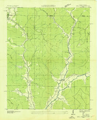
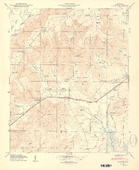
1936 Mud Creek
Jackson County, AL

1936 Princeton
Jackson County, AL

1936 Wannville
Jackson County, AL
1939 Estill Fork
Jackson County, AL

1942 Petit Bois Island
Jackson County, AL
1946 Flat Rock
Jackson County, AL
1947 Eureka
Jackson County, AL
1947 Lim Rock
Jackson County, AL

1947 Wannville
Jackson County, AL
1948 Estill Fork
Jackson County, AL
1948 Hollytree
Jackson County, AL

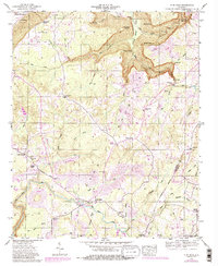
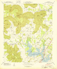
1948 Mud Creek
Jackson County, AL
1948 Princeton
Jackson County, AL

1950 Doran Cove
Jackson County, AL

1950 Eureka
Jackson County, AL
1950 Lim Rock
Jackson County, AL
1950 Wannville
Jackson County, AL
1951 Estill Fork
Jackson County, AL
1951 Hollytree
Jackson County, AL
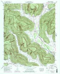
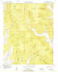
1951 Mud Creek
Jackson County, AL
1951 Princeton
Jackson County, AL
1967 Doran Cove
Jackson County, AL
2024 Doran Cove
Jackson County, AL
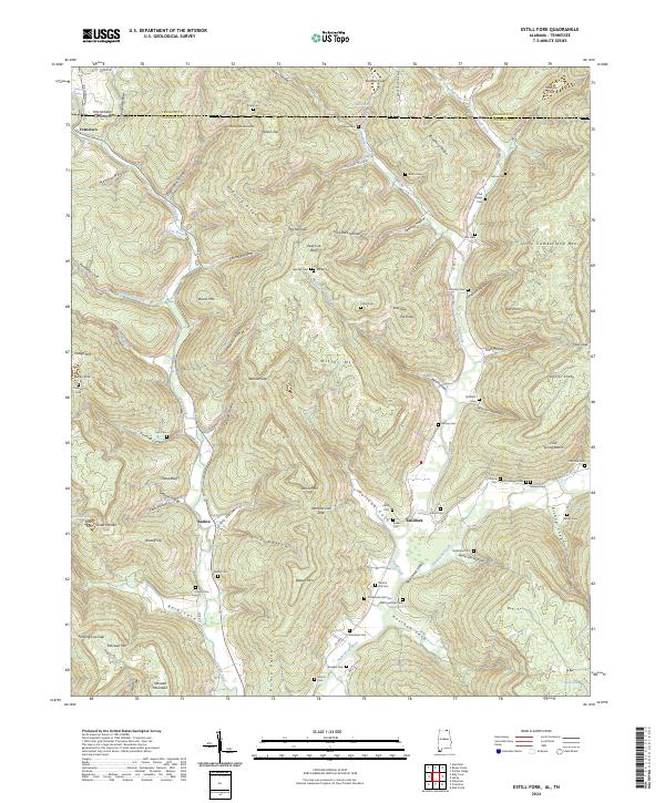
2024 Estill Fork
Jackson County, AL
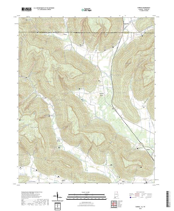
2024 Eureka
Jackson County, AL
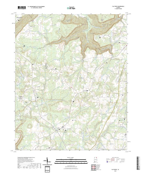
2024 Flat Rock
Jackson County, AL
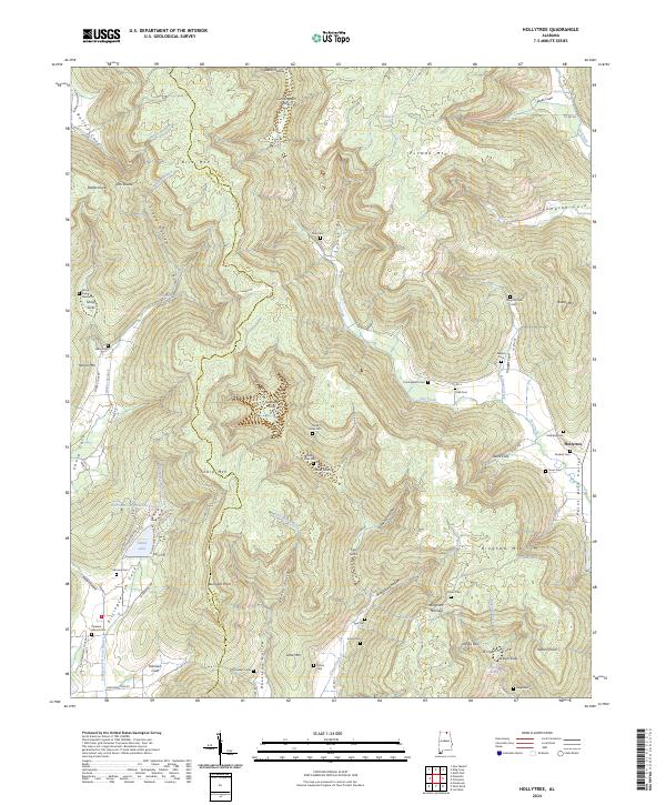
2024 Hollytree
Jackson County, AL
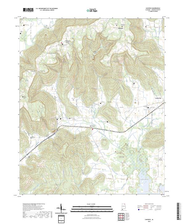
2024 Lim Rock
Jackson County, AL
2024 Mud Creek
Jackson County, AL
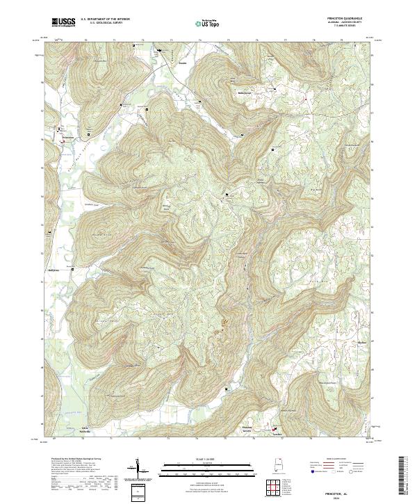
2024 Princeton
Jackson County, AL
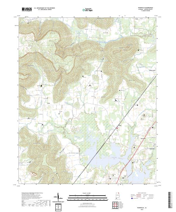
2024 Wannville
Jackson County, AL