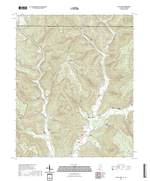
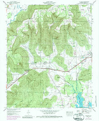
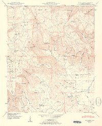
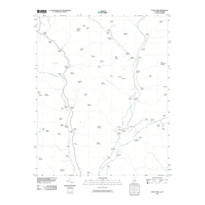
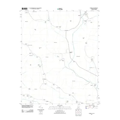
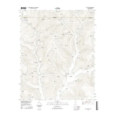
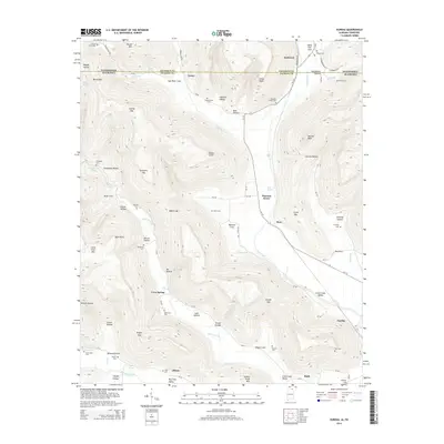
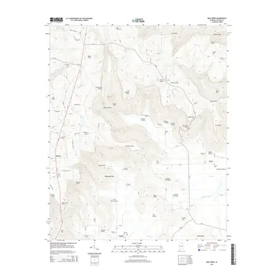
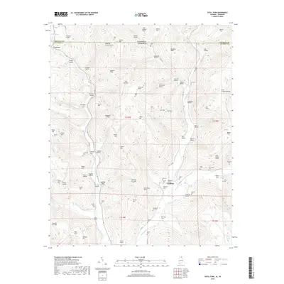
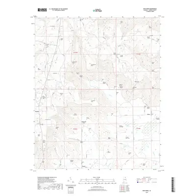
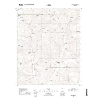
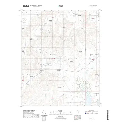
2024 Map of Estill Fork
USGS Topo · Published 2024About this map
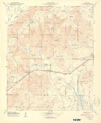
Larkin Fork and the upper reaches of the Paint Rock River carve through the high ridges along the Tennessee-Alabama border. This modern topography documents the deeply dissected landscape of northern Jackson County, where small valley settlements like Estillfork and Larkin remain connected by rural routes such as Co Rd 175. The map is particularly rich for family history research, noting a dense concentration of upland cemeteries including Posey Cem, Morris Cem, and Bostick Hill Cem tucked into the hollows.
Find a feature on this map
117 named features on this map. Tap any name to fly to it.
Don’t see what you’re looking for? This feature index may not catch every label — zoom into the map to look around manually.
Map Details
Editions of this 2024 Estill Fork Map
This is the sole edition of this map. No revisions or reprints were ever made.
Historical Maps of Francisco Through Time
77 maps found

1921 Petit Bois Island
Jackson County, AL

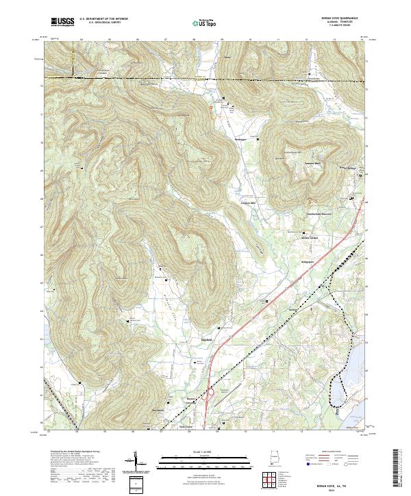
1936 Doran Cove
Jackson County, AL

1936 Eureka
Jackson County, AL

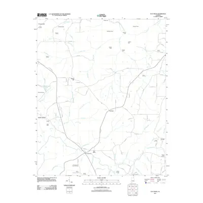
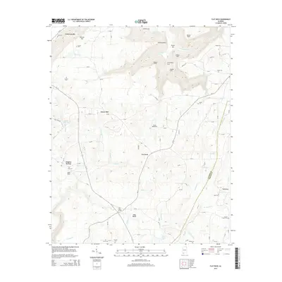
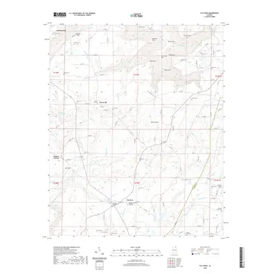
1936 Flat Rock
Jackson County, AL

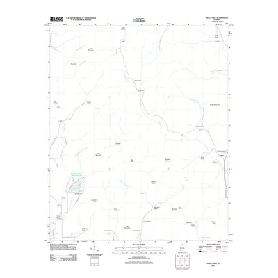
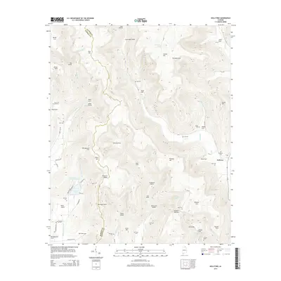
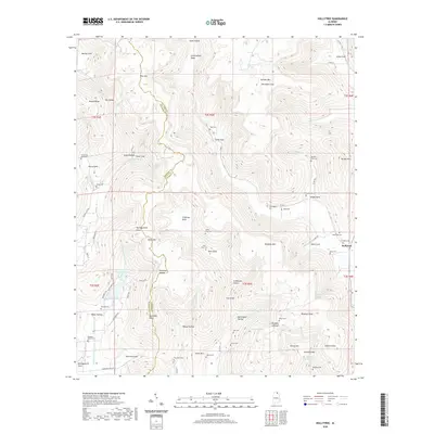
1936 Hollytree
Jackson County, AL

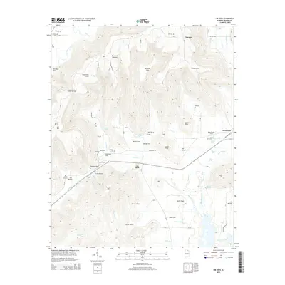
1936 Lim Rock
Jackson County, AL

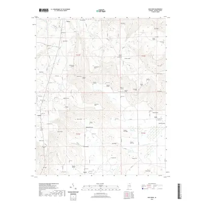
1936 Mud Creek
Jackson County, AL

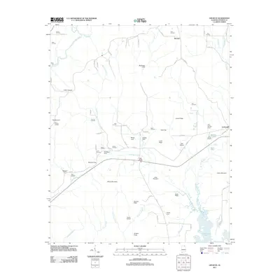
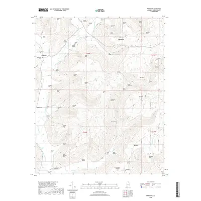
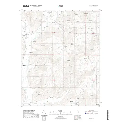
1936 Princeton
Jackson County, AL

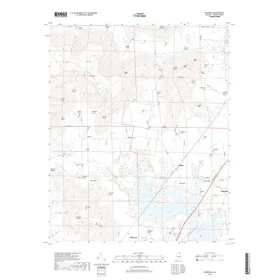
1936 Wannville
Jackson County, AL
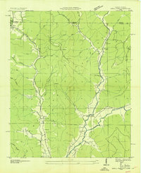
1939 Estill Fork
Jackson County, AL

1942 Petit Bois Island
Jackson County, AL
1946 Flat Rock
Jackson County, AL
1947 Eureka
Jackson County, AL
1947 Lim Rock
Jackson County, AL

1947 Wannville
Jackson County, AL
1948 Estill Fork
Jackson County, AL
1948 Hollytree
Jackson County, AL

1948 Mud Creek
Jackson County, AL
1948 Princeton
Jackson County, AL

1950 Doran Cove
Jackson County, AL

1950 Eureka
Jackson County, AL
1950 Lim Rock
Jackson County, AL
1950 Wannville
Jackson County, AL
1951 Estill Fork
Jackson County, AL
1951 Hollytree
Jackson County, AL
1951 Mud Creek
Jackson County, AL
1951 Princeton
Jackson County, AL
1967 Doran Cove
Jackson County, AL
2010 Doran Cove
Jackson County, AL
2010 Estill Fork
Jackson County, AL
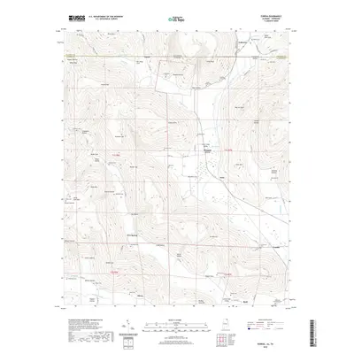
2010 Eureka
Jackson County, AL
2011 Doran Cove
Jackson County, AL
2011 Estill Fork
Jackson County, AL
2011 Eureka
Jackson County, AL
2011 Flat Rock
Jackson County, AL
2011 Hollytree
Jackson County, AL
2011 Lim Rock
Jackson County, AL
2011 Mud Creek
Jackson County, AL
2011 Princeton
Jackson County, AL
2011 Wannville
Jackson County, AL

2014 Doran Cove
Jackson County, AL
2014 Estill Fork
Jackson County, AL
2014 Eureka
Jackson County, AL
2014 Flat Rock
Jackson County, AL
2014 Hollytree
Jackson County, AL
2014 Lim Rock
Jackson County, AL
2014 Mud Creek
Jackson County, AL
2014 Princeton
Jackson County, AL
2014 Wannville
Jackson County, AL
2018 Doran Cove
Jackson County, AL
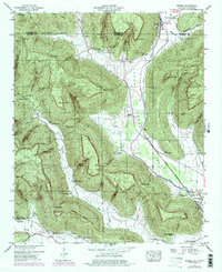
2018 Estill Fork
Jackson County, AL
2018 Eureka
Jackson County, AL
2018 Flat Rock
Jackson County, AL
2018 Hollytree
Jackson County, AL

2018 Lim Rock
Jackson County, AL
2018 Mud Creek
Jackson County, AL
2018 Princeton
Jackson County, AL
2018 Wannville
Jackson County, AL
2020 Doran Cove
Jackson County, AL
2020 Estill Fork
Jackson County, AL
2020 Eureka
Jackson County, AL
2020 Flat Rock
Jackson County, AL
2020 Hollytree
Jackson County, AL
2020 Lim Rock
Jackson County, AL
2020 Mud Creek
Jackson County, AL
2020 Princeton
Jackson County, AL

2020 Wannville
Jackson County, AL
2024 Doran Cove
Jackson County, AL
2024 Estill Fork
Jackson County, AL
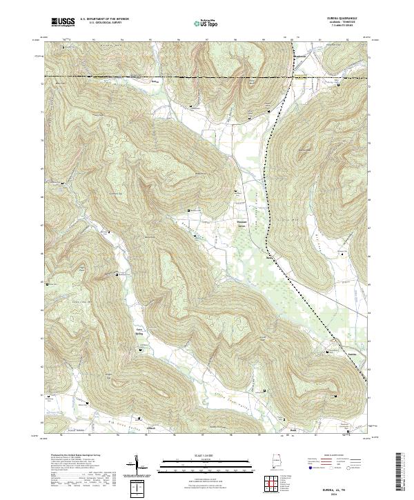
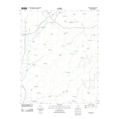
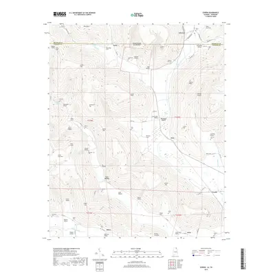
2024 Eureka
Jackson County, AL
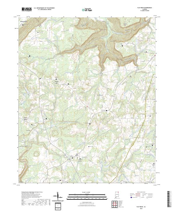
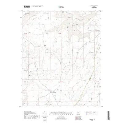
2024 Flat Rock
Jackson County, AL
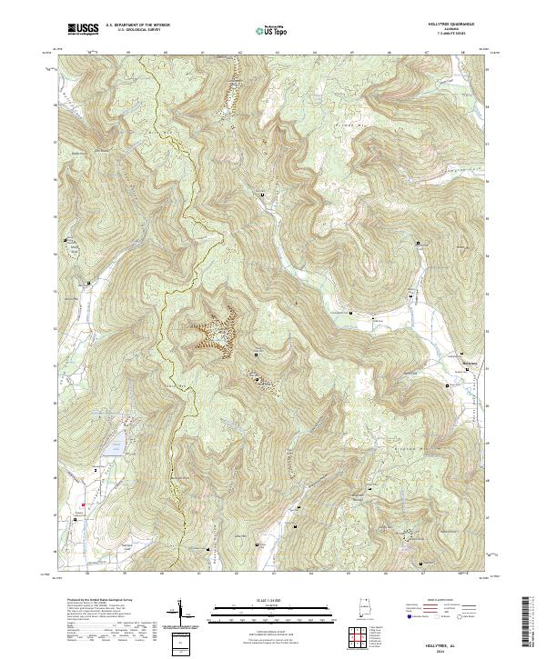
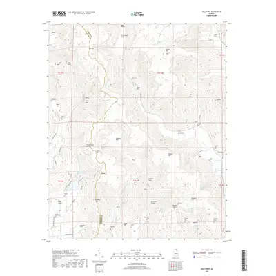
2024 Hollytree
Jackson County, AL
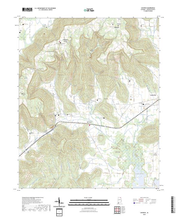
2024 Lim Rock
Jackson County, AL
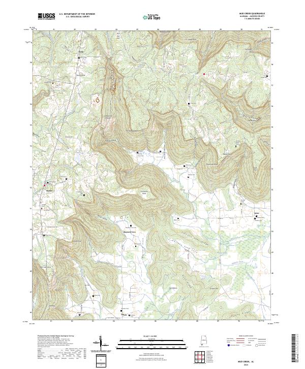
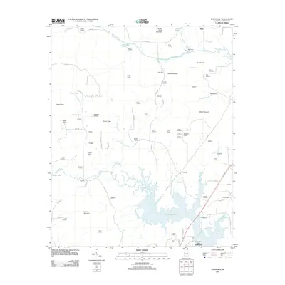
2024 Mud Creek
Jackson County, AL
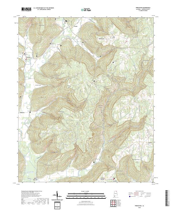
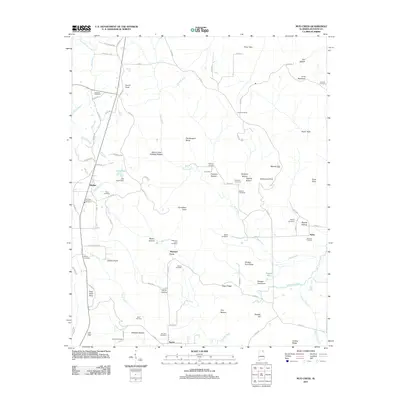
2024 Princeton
Jackson County, AL
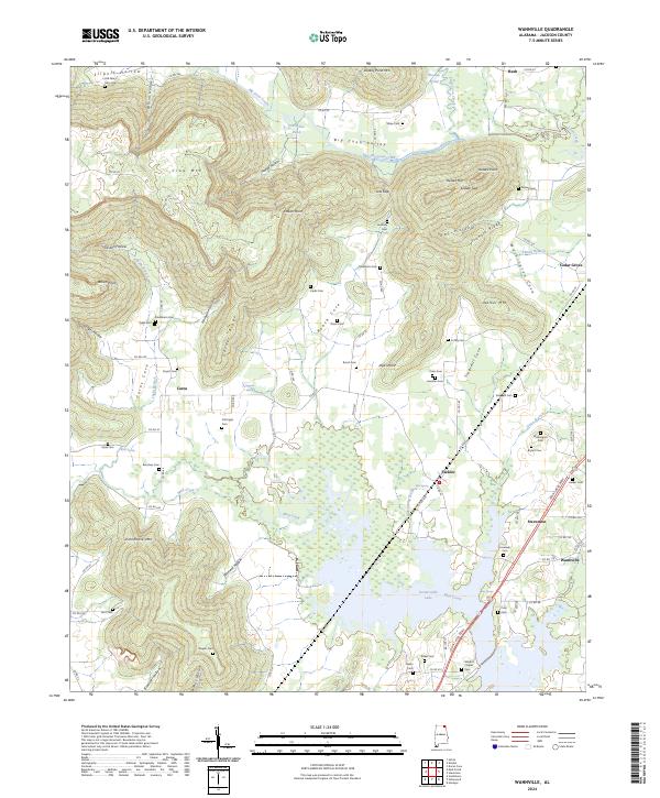
2024 Wannville
Jackson County, AL
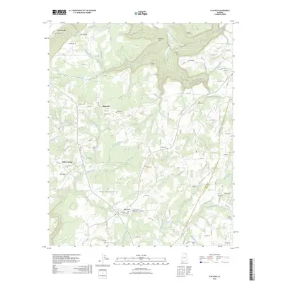
2026 Flat Rock
Jackson County, AL