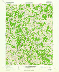
1961 Map of Oak Forest
USGS Topo · Published 1963About this map
Oak Forest and the surrounding townships of Franklin, Whiteley, and Wayne characterize this Greene County landscape as it appeared in the early 1960s. The region is defined by an intricate network of waterways including Whiteley Creek, Pursley Creek, and Shannon Run, which carve through the terrain near landmarks like Brant Hill. Local life and genealogy are deeply rooted in the numerous rural institutions found here, such as Mt Pleasant Ch, Fairall Ch, and Pin Oak Ch, alongside burial grounds like Fairview Cem and Lemley Cem.
Find a feature on this map
42 named features on this map. Tap any name to fly to it.
Don’t see what you’re looking for? This feature index may not catch every label — zoom into the map to look around manually.
Map Details
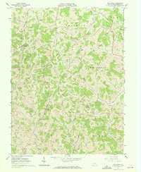
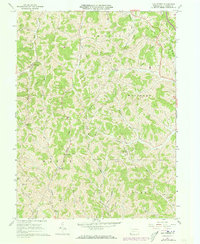
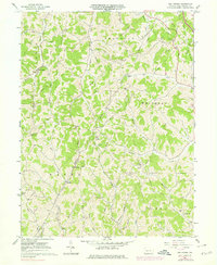
Editions of this 1961 Oak Forest Map
4 editions found
Other maps of this area

1901 · Waynesburg
USGS Topo · 1:62,500

1904 · Blacksville
USGS Topo · 1:62,500

1904 · Waynesburg
USGS Topo · 1:62,500

1905 · Mannington
USGS Topo · 1:62,500

1905 · Rogersville
USGS Topo · 1:62,500

1923 · Blacksville
USGS Topo · 1:62,500

1923 · Mannington
USGS Topo · 1:62,500

1925 · Blacksville
USGS Topo · 1:62,500

1926 · Mannington
USGS Topo · 1:62,500

1949 · Clarksburg
USGS Topo · 1:250,000