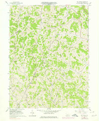
1961 Map of Oak Forest
USGS Topo · Published 1979About this map
The agrarian and energy-producing landscapes of Greene County are clearly defined in this mid-century survey. The settlement at Oak Forest serves as a local anchor near Pursley Creek, while a network of rural schools and churches, such as Township Sch and Fairall Ch, points to the distribution of early 20th-century communities. The terrain is deeply carved by a dense drainage system including Whiteley Creek, Roberts Run, and Patterson Run, which influenced the placement of original farmsteads and transport routes.
Find a feature on this map
42 named features on this map. Tap any name to fly to it.
Don’t see what you’re looking for? This feature index may not catch every label — zoom into the map to look around manually.
Map Details
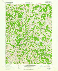
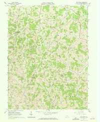
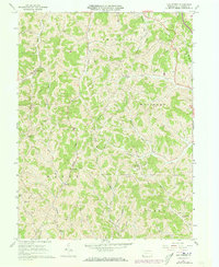
Editions of this 1961 Oak Forest Map
4 editions found
Other maps of this area

1901 · Waynesburg
USGS Topo · 1:62,500

1904 · Blacksville
USGS Topo · 1:62,500

1904 · Waynesburg
USGS Topo · 1:62,500

1905 · Mannington
USGS Topo · 1:62,500

1905 · Rogersville
USGS Topo · 1:62,500

1923 · Blacksville
USGS Topo · 1:62,500

1923 · Mannington
USGS Topo · 1:62,500

1925 · Blacksville
USGS Topo · 1:62,500

1926 · Mannington
USGS Topo · 1:62,500

1949 · Clarksburg
USGS Topo · 1:250,000