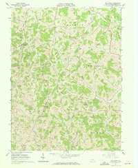
1961 Map of Oak Forest
USGS Topo · Published 1971About this map
Deeply dissected ridge country in southern Greene County defines this area, where life followed the winding paths of Whiteley Creek and Pursley Creek. The rural character of the 1960s is preserved through its decentralized infrastructure, showing numerous small family and community anchors such as Gordon Cem, Fairview Cem, and Lemley Cem. Educational and spiritual life centered on local institutions like Township Sch and Claughton Ch, reflecting a time when small communities maintained their own schools and churches before widespread consolidation.
Find a feature on this map
42 named features on this map. Tap any name to fly to it.
Don’t see what you’re looking for? This feature index may not catch every label — zoom into the map to look around manually.
Map Details
Editions of this 1961 Oak Forest Map
4 editions found
Other maps of this area

1901 · Waynesburg
USGS Topo · 1:62,500

1904 · Blacksville
USGS Topo · 1:62,500

1904 · Waynesburg
USGS Topo · 1:62,500

1905 · Mannington
USGS Topo · 1:62,500

1905 · Rogersville
USGS Topo · 1:62,500

1923 · Blacksville
USGS Topo · 1:62,500

1923 · Mannington
USGS Topo · 1:62,500

1925 · Blacksville
USGS Topo · 1:62,500

1926 · Mannington
USGS Topo · 1:62,500

1949 · Clarksburg
USGS Topo · 1:250,000