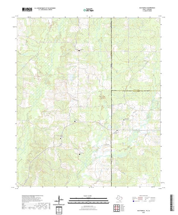
2022 Map of Old Panola
USGS Topo · Published 2022About this map
The borderlands where Texas and Louisiana meet define this landscape, a region of low-lying creek bottoms and legacy oil infrastructure. Multiple historic burial sites are scattered across the terrain, including Shiloh Baptist Church Cem and Shiloh Methodist Church Cem near the state line, as well as Panola Baptist Church Cem and Centennial Cem further west. These sites, often located near local water features like Socagee Cr and Bagley Lake, suggest the long-standing community foundations in this rural corridor.
Find a feature on this map
59 named features on this map. Tap any name to fly to it.
Don’t see what you’re looking for? This feature index may not catch every label — zoom into the map to look around manually.
Map Details
Editions of this 2022 Old Panola Map
This is the sole edition of this map. No revisions or reprints were ever made.
Historical Maps of Louisiana Through Time
26 maps found
1945 Socagee Bayou
Panola County, TX
1956 Deadwood
Panola County, TX

1962 De Berry
Panola County, TX
1962 Panola
Panola County, TX

1983 Fair Play
Panola County, TX
1983 Galloway
Panola County, TX
1983 Gary
Panola County, TX

1983 Grand Bluff
Panola County, TX

1983 Harris Chapel
Panola County, TX
1983 Lake Murvaul
Panola County, TX

1983 Long Branch
Panola County, TX
1983 Old Center
Panola County, TX
1983 Old Panola
Panola County, TX
1983 River Hill
Panola County, TX
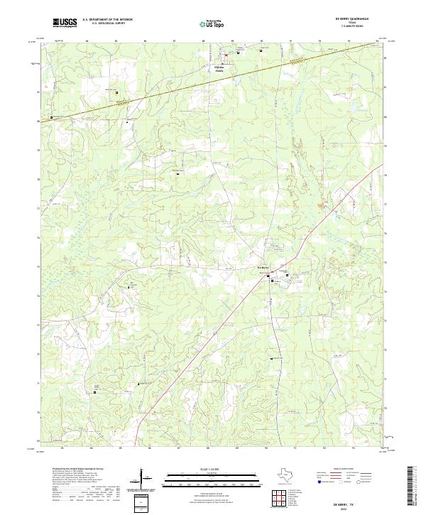
2022 De Berry
Panola County, TX
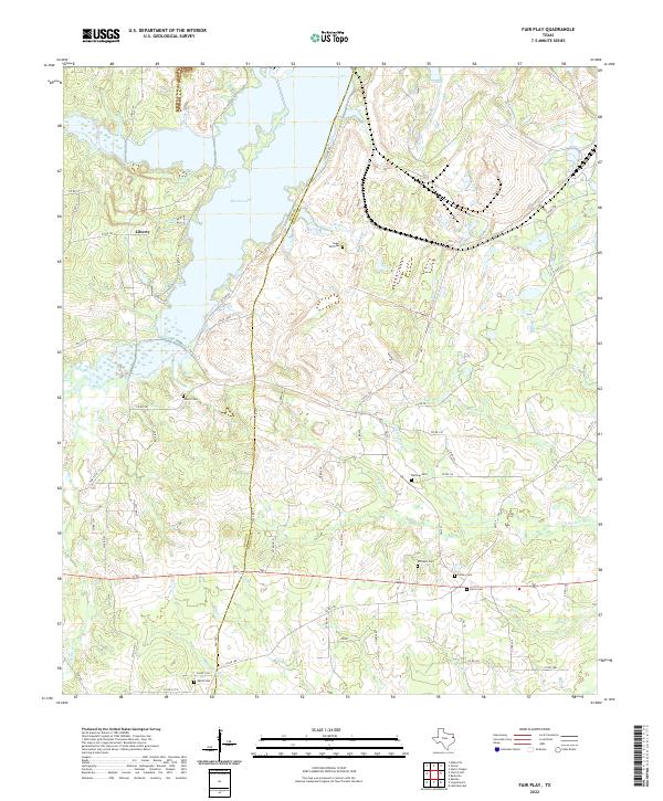
2022 Fair Play
Panola County, TX
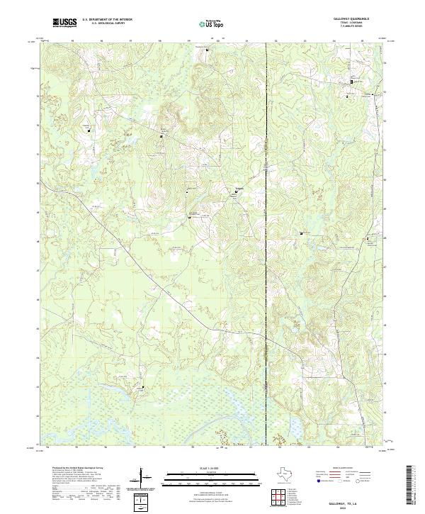
2022 Galloway
Panola County, TX
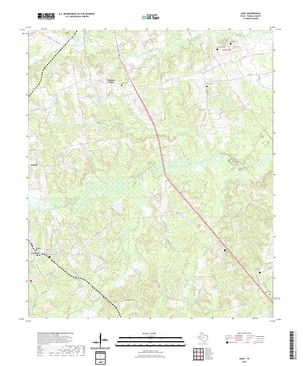
2022 Gary
Panola County, TX
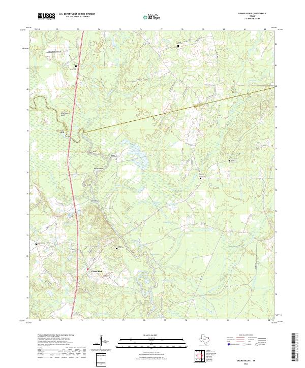
2022 Grand Bluff
Panola County, TX
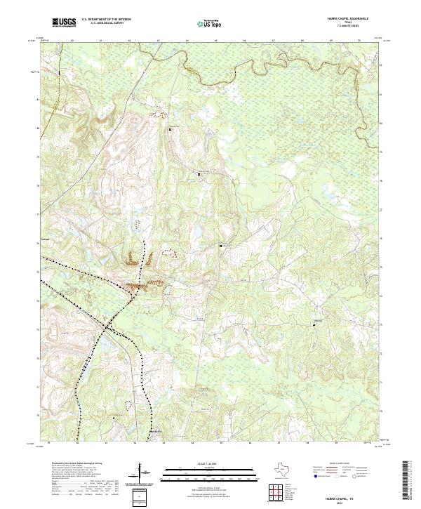
2022 Harris Chapel
Panola County, TX
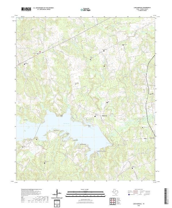
2022 Lake Murvaul
Panola County, TX
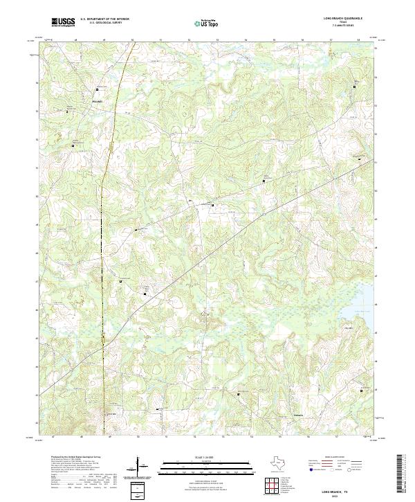
2022 Long Branch
Panola County, TX
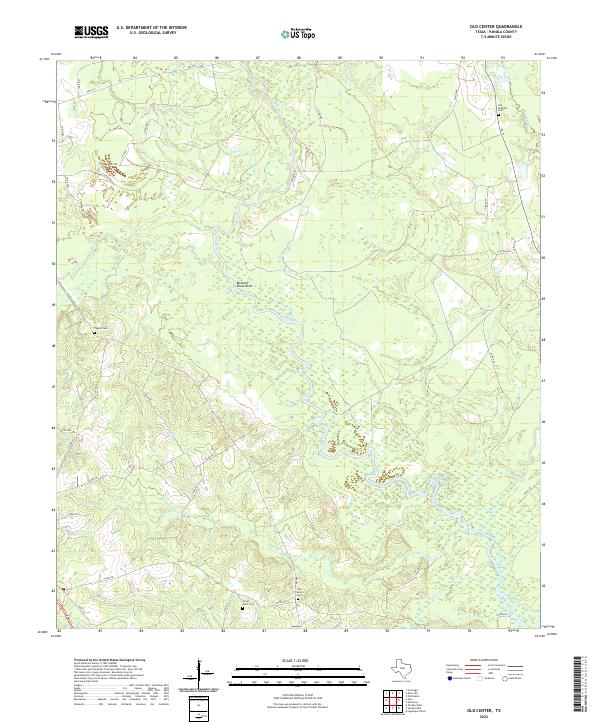
2022 Old Center
Panola County, TX
2022 Old Panola
Panola County, TX
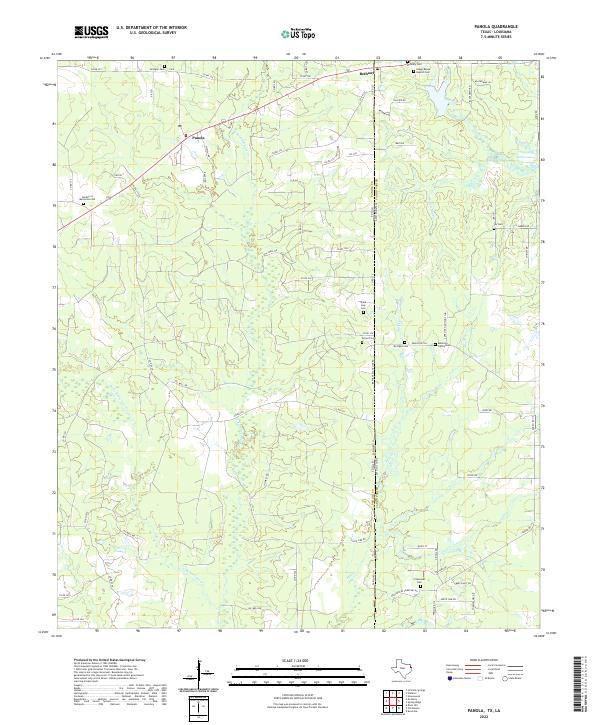
2022 Panola
Panola County, TX
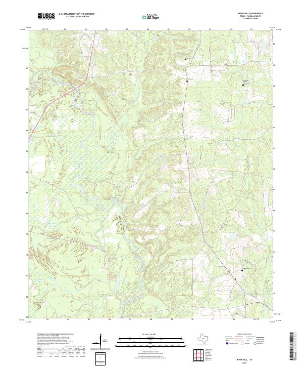
2022 River Hill
Panola County, TX