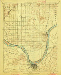
1901 Map of Owensboro
USGS Topo · Published 1901About this map
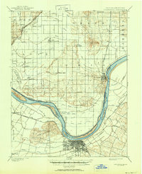
Owensboro and Rockport anchor this river-driven landscape at the dawn of the twentieth century, connected by the massive bend of the Ohio River that defines the state boundary. The Kentucky side is dominated by the industrial and rail hub of Owensboro, where the Ill. Cent. R. R. and the Louisville Henderson and St. Louis R. R. converge near the Bon Harbor Hills. Across the water in Indiana, the topography shifts into a complex system of drainage ditches and former wetlands, most notably the expansive Willow Pond Bed.
Find a feature on this map
78 named features on this map. Tap any name to fly to it.
Don’t see what you’re looking for? This feature index may not catch every label — zoom into the map to look around manually.
Map Details
Editions of this 1901 Owensboro Map
5 editions found
Other maps of this area
1900 · St Meinrad
USGS Topo · 1:62,500
1900 · De Gonia Springs
USGS Topo · 1:62,500

1902 · Ditney
USGS Topo · 1:125,000
1902 · Degonia Springs
USGS Topo · 1:62,500
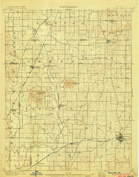
1902 · Boonville
USGS Topo · 1:62,500
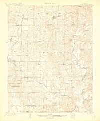
1903 · St. Meinrad
USGS Topo · 1:62,500
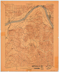
1903 · Tell City
USGS Topo · 1:62,500
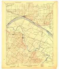
1905 · Newburg
USGS Topo · 1:62,500
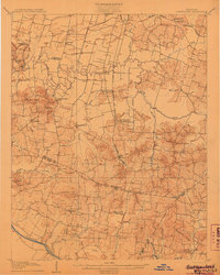
1906 · Sutherland
USGS Topo · 1:62,500
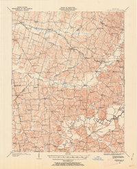
1907 · Whitesville
USGS Topo · 1:62,500