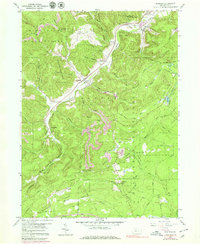
1959 Map of Penfield
USGS Topo · Published 1979About this map
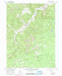
Penfield and the neighboring settlements of Hollywood and Winterburn sit within a landscape defined by the deep timberlands of Moshannon State Forest and the State Game Lands No 93. This mid-century survey reveals the industrial character of the Pennsylvania wilds, where numerous strip mines and quarries dot the hillsides above the Penn Central rail line. Local history and genealogy are anchored by several remote burial grounds, including Mt Pleasant Cem and the Laurel Run Cem. The terrain is deeply incised by the Bennett Branch and its tributaries, such as Wilson Run and Tyler Run, while the Parker Dam State Park occupies the eastern highlands. A distinct pattern of human impact is visible through the Old Railroad Grade and numerous forest firebreaks, reflecting a history of logging and resource extraction in the region.
Find a feature on this map
67 named features on this map. Tap any name to fly to it.
Don’t see what you’re looking for? This feature index may not catch every label — zoom into the map to look around manually.
Map Details
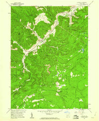
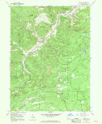
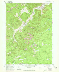
Editions of this 1959 Penfield Map
5 editions found
Other maps of this area

1929 · Clearfield
USGS Topo · 1:48,000

1929 · Penfield
USGS Topo · 1:62,500

1932 · Clearfield
USGS Topo · 1:62,500

1932 · Penfield
USGS Topo · 1:62,500

1941 · Benezette
USGS Topo · 1:62,500

1941 · Ridgway
USGS Topo · 1:62,500

1943 · Benezette
USGS Topo · 1:62,500

1944 · Ridgway
USGS Topo · 1:62,500

1957 · Warren
USGS Topo · 1:250,000

1958 · Warren
USGS Topo · 1:250,000
Featured Places
- Pine Township, PA
- Gobbler Knob, Huston Township
- Fox Township, PA
- Penfield, Huston Township
- Anderson Creek, Pine Township