2024 Map of Robinson
USGS Topo · Published 2024About this map
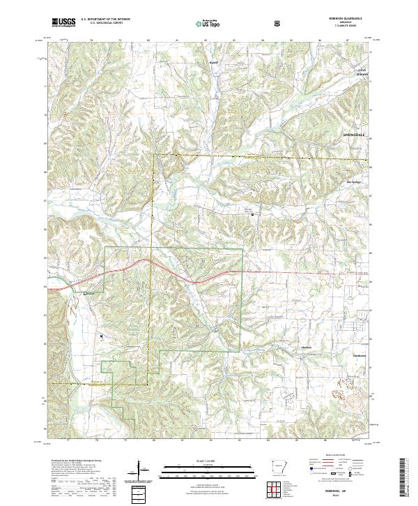
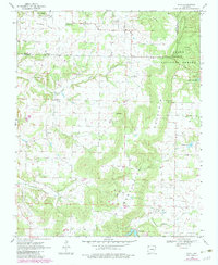
The Benton Co Washington Co line bisects this region of Northwest Arkansas, where the rolling landscape is defined by the headwaters of several prominent creek systems. The community of Robinson sits in the western portion of the map, situated near the Ozark National Forest and the upper reaches of the Illinois River. For genealogists and local historians, several burial sites provide important touchpoints, including the Echo Dell - Burks Cem and the Yell Cem.
Find a feature on this map
72 named features on this map. Tap any name to fly to it.
Don’t see what you’re looking for? This feature index may not catch every label — zoom into the map to look around manually.
Map Details
Editions of this 2024 Robinson Map
This is the sole edition of this map. No revisions or reprints were ever made.
Historical Maps of Tontitown Through Time
18 maps found
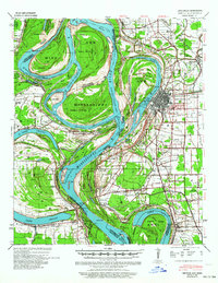
1939 Refuge
Washington County, AR
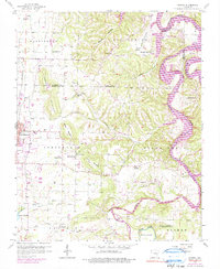
1958 Sonora
Washington County, AR
1958 Spring Valley
Washington County, AR
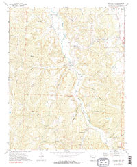
1970 Rhea
Washington County, AR
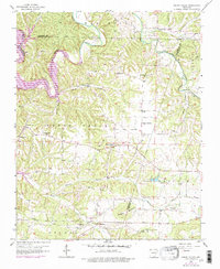
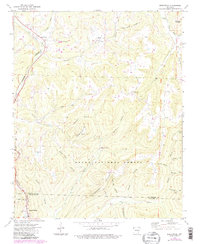
1970 Robinson
Washington County, AR
1970 Strickler
Washington County, AR
1970 Wheeler
Washington County, AR
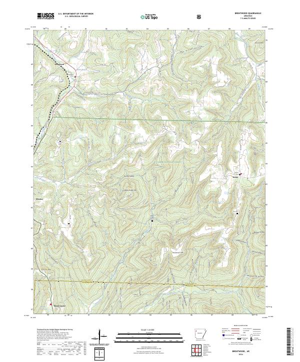
1973 Brentwood
Washington County, AR
1973 Sulphur City
Washington County, AR
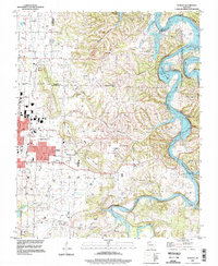
1994 Sonora
Washington County, AR
2024 Brentwood
Washington County, AR
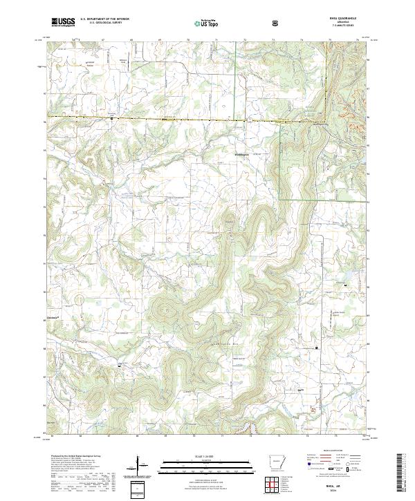
2024 Rhea
Washington County, AR
2024 Robinson
Washington County, AR
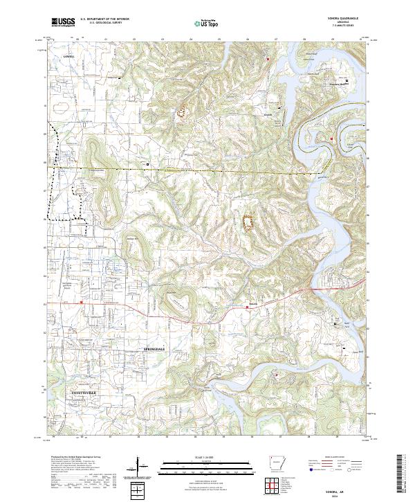
2024 Sonora
Washington County, AR
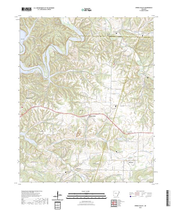
2024 Spring Valley
Washington County, AR
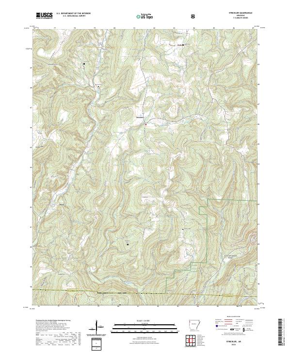
2024 Strickler
Washington County, AR
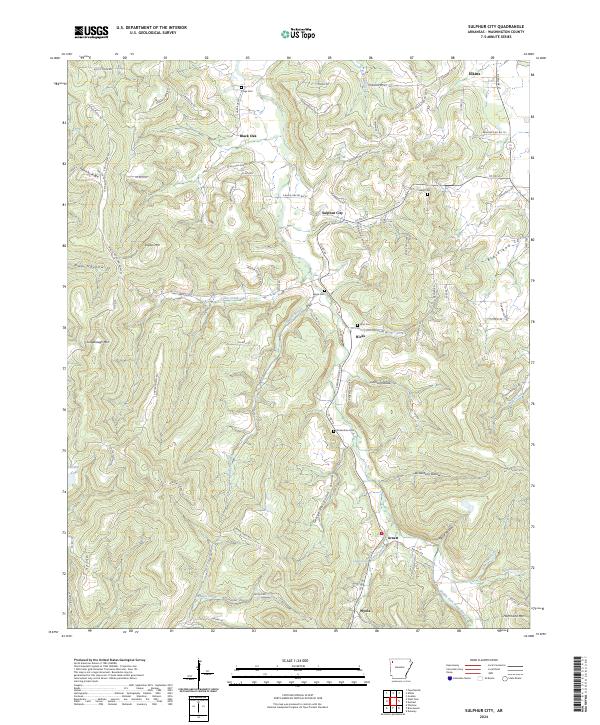
2024 Sulphur City
Washington County, AR
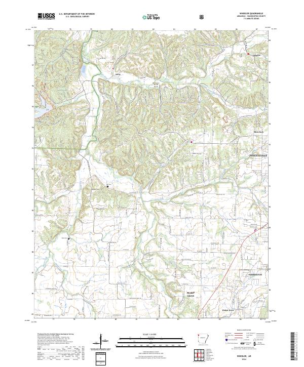
2024 Wheeler
Washington County, AR